British Railways Eastern Region London Suburban Lines Route Diagram
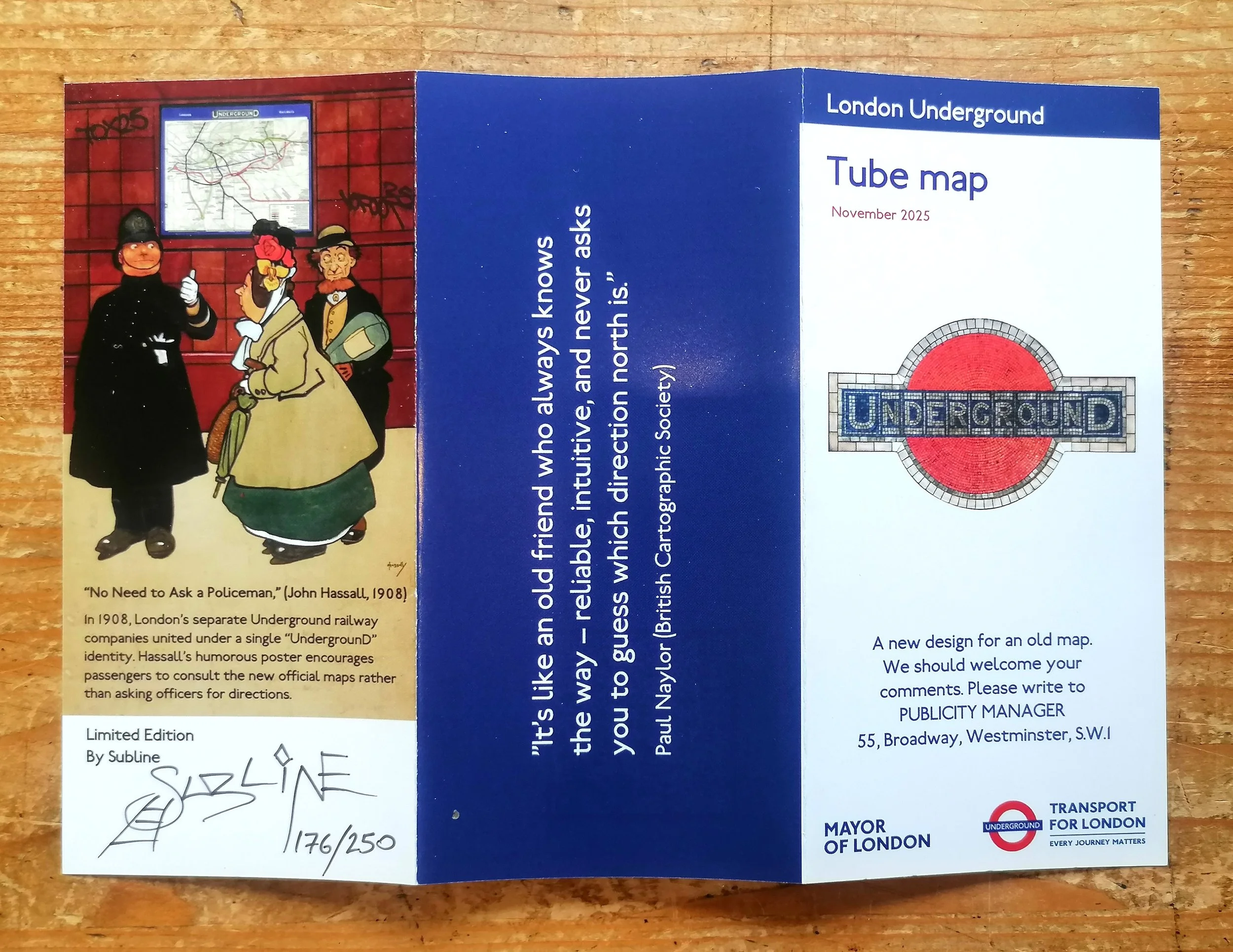
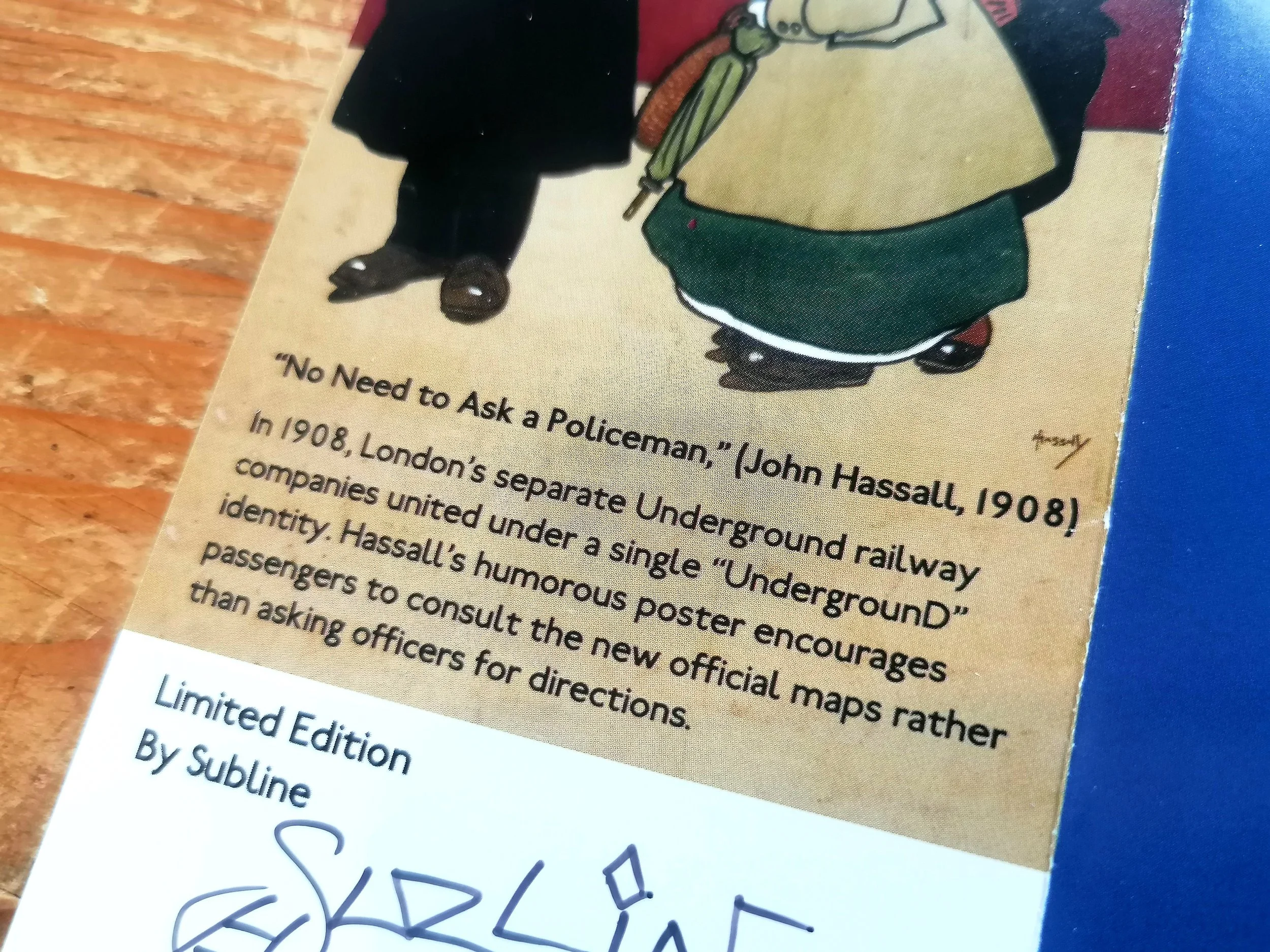
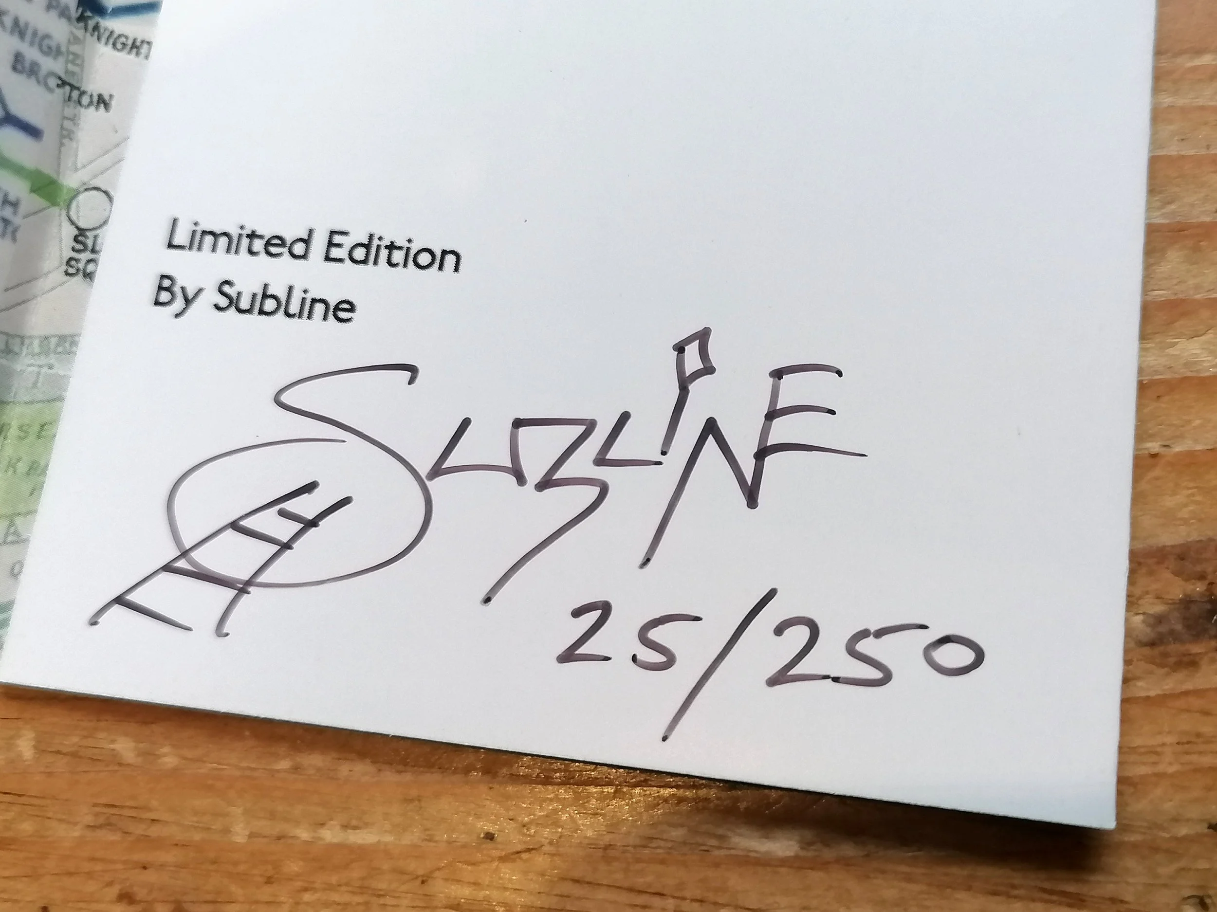
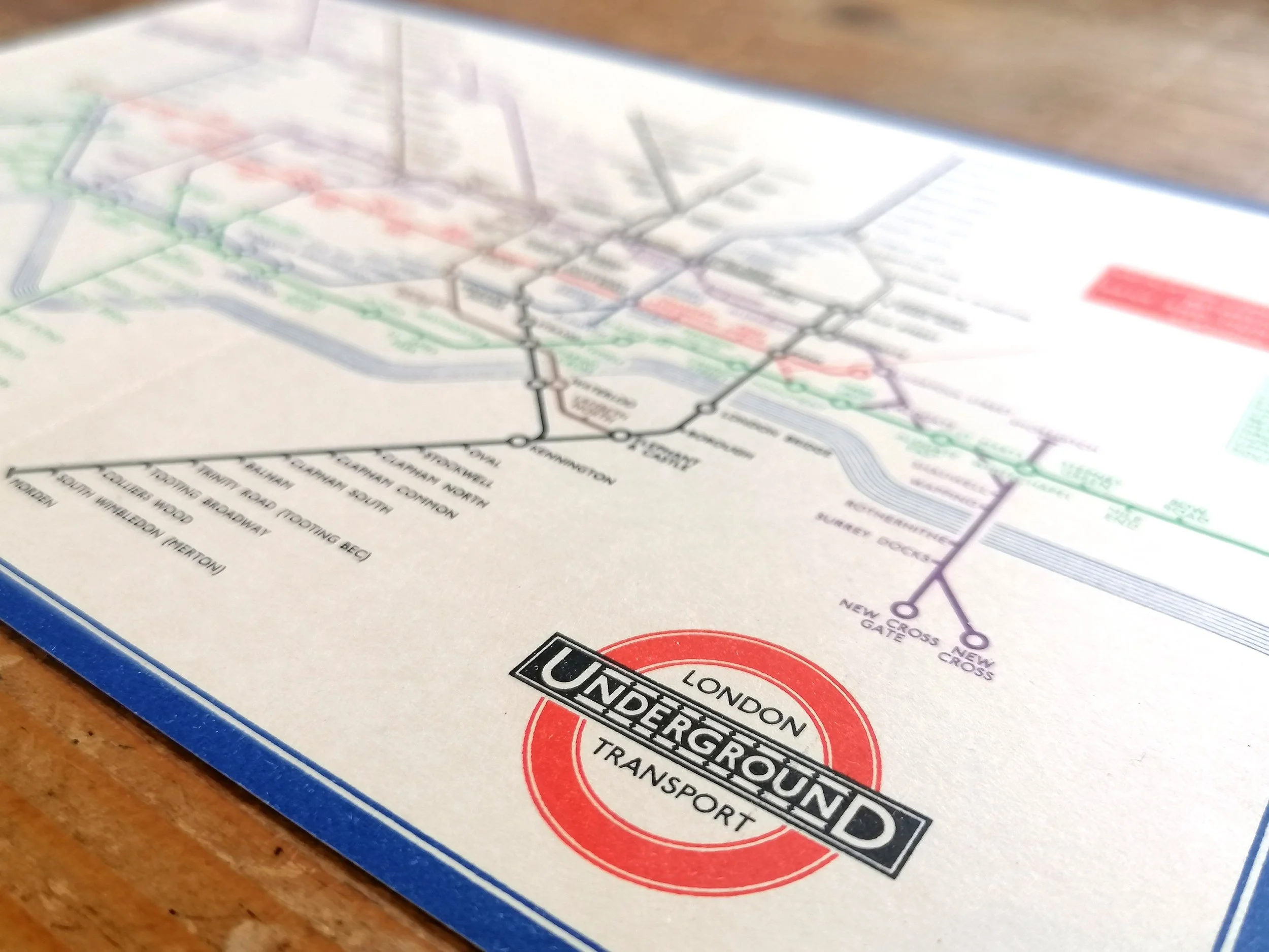
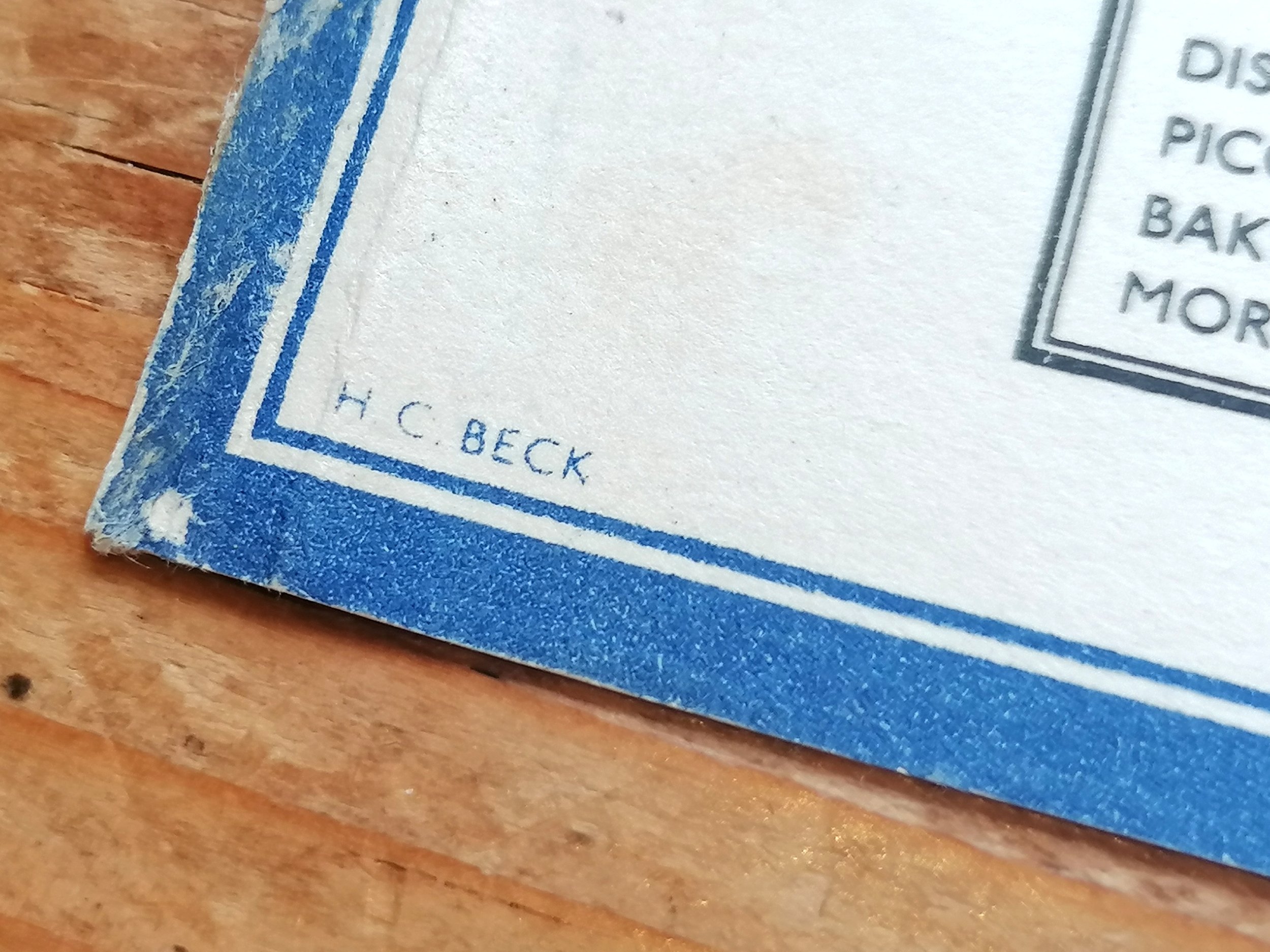
Designed by Henry 'Harry' Charles Beck (1902-1975). Printed by Stafford & Co Limited. Published by British Railways. Two-colour lithograph on think paper stock. Folded as issued. Signed 'HC Beck' bottom right corner. Condition: Outstanding example. Undamaged and unmarked.Subtle diagonal crease. Please inspect photos carefully.
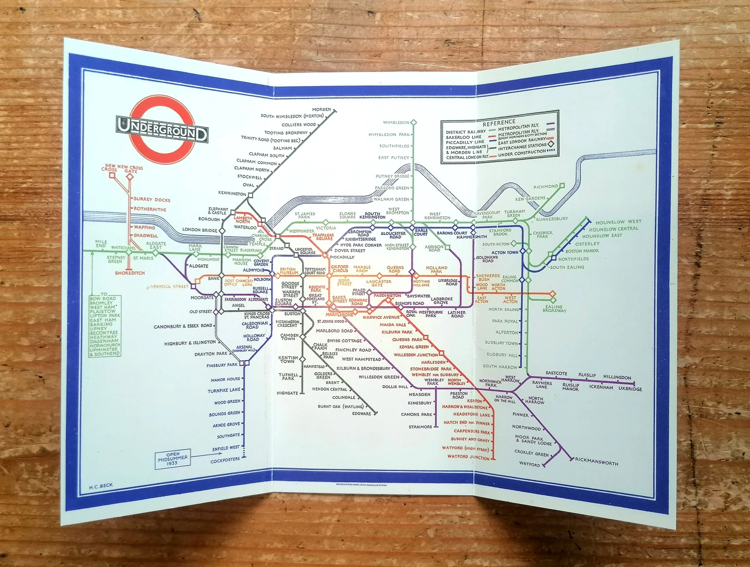
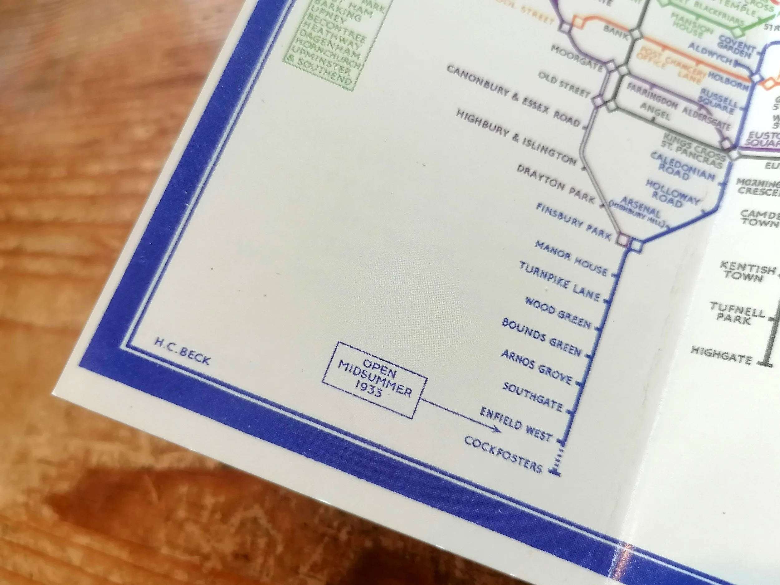
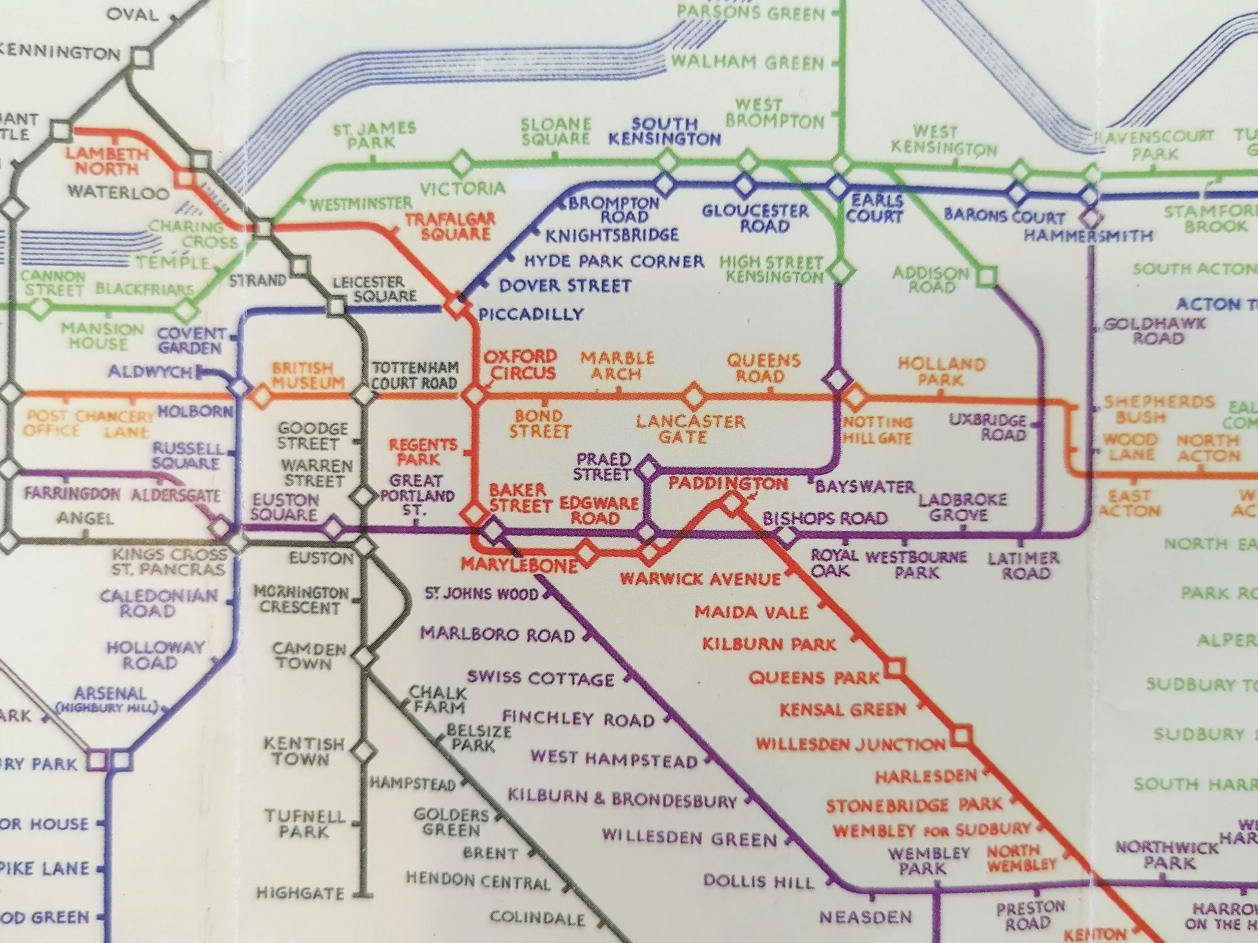
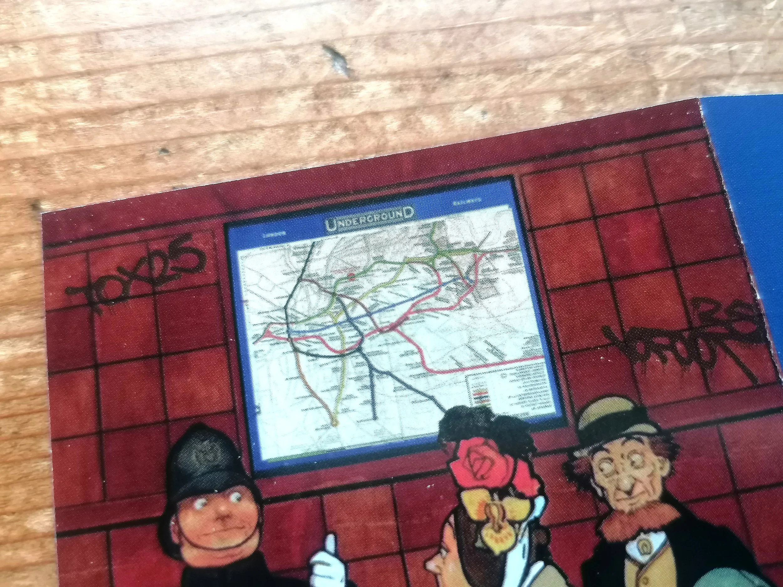
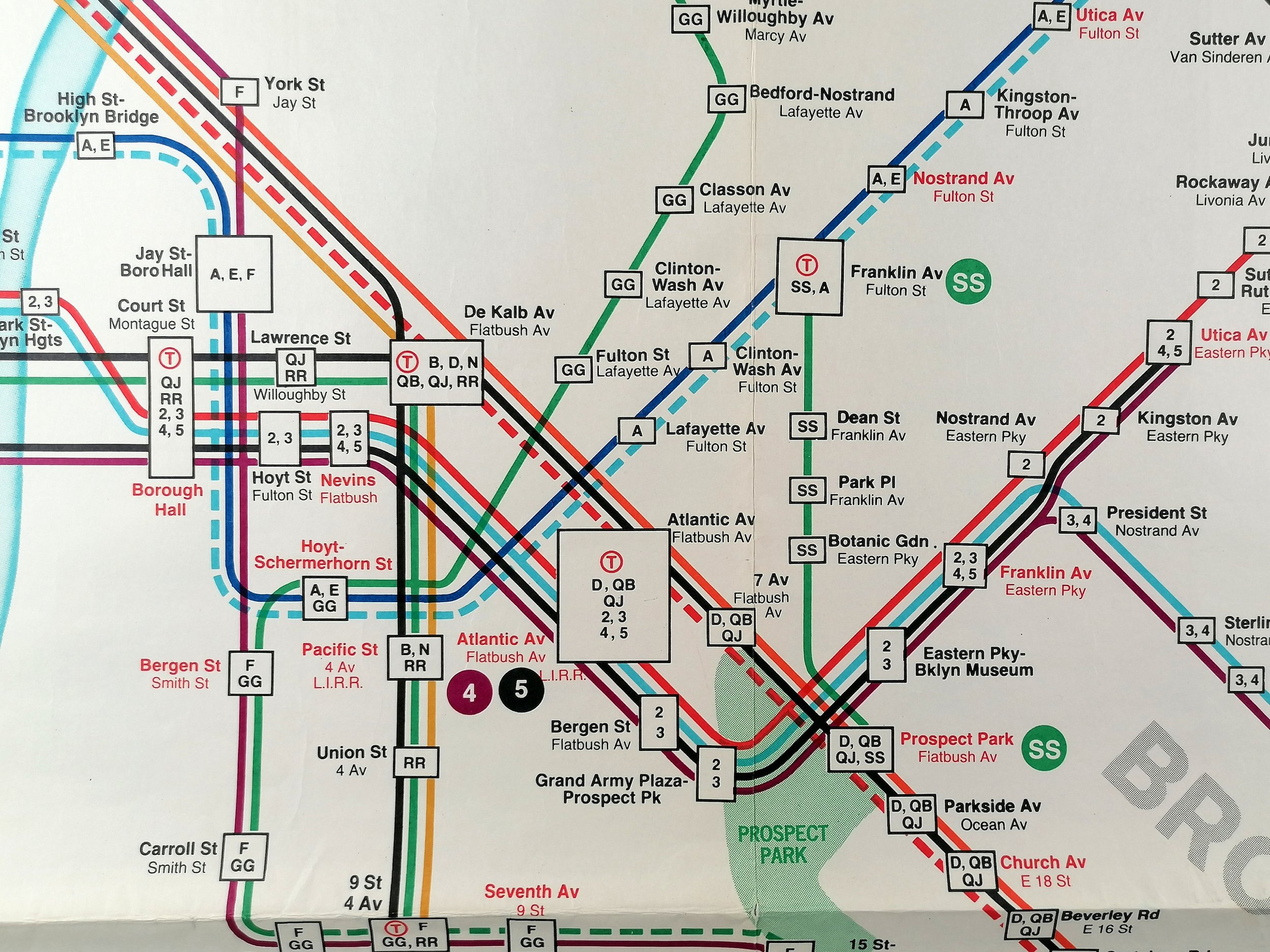
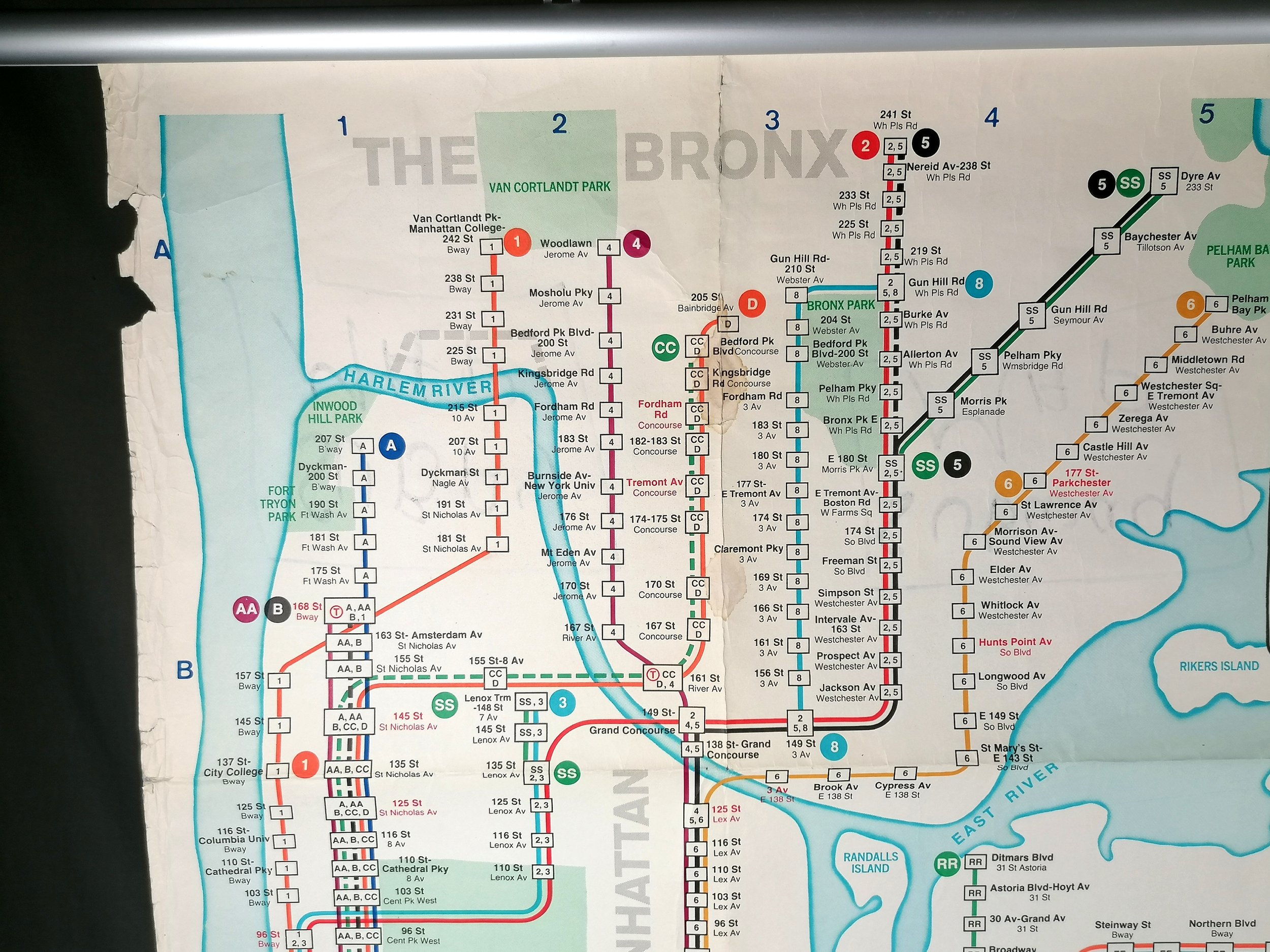
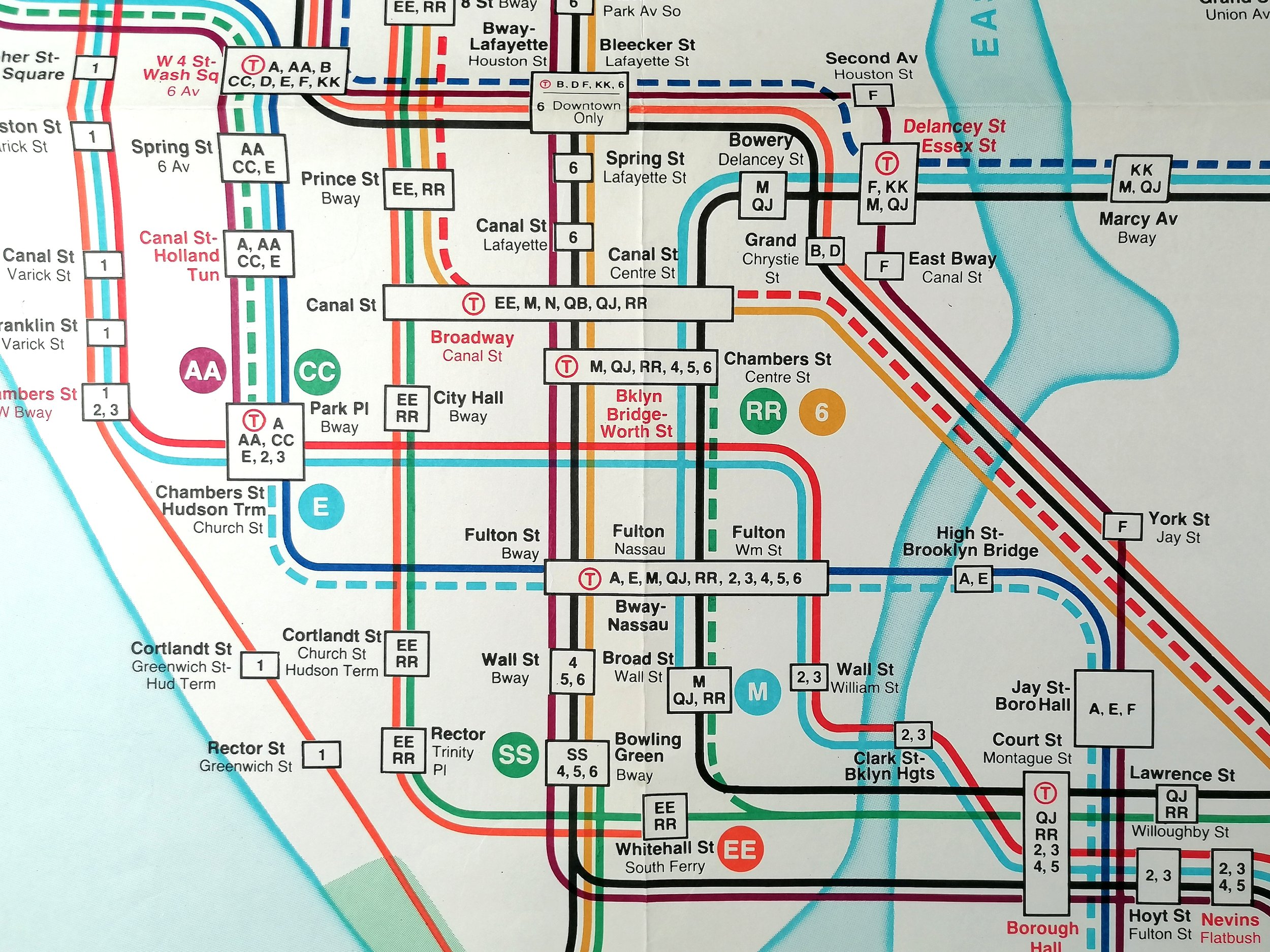
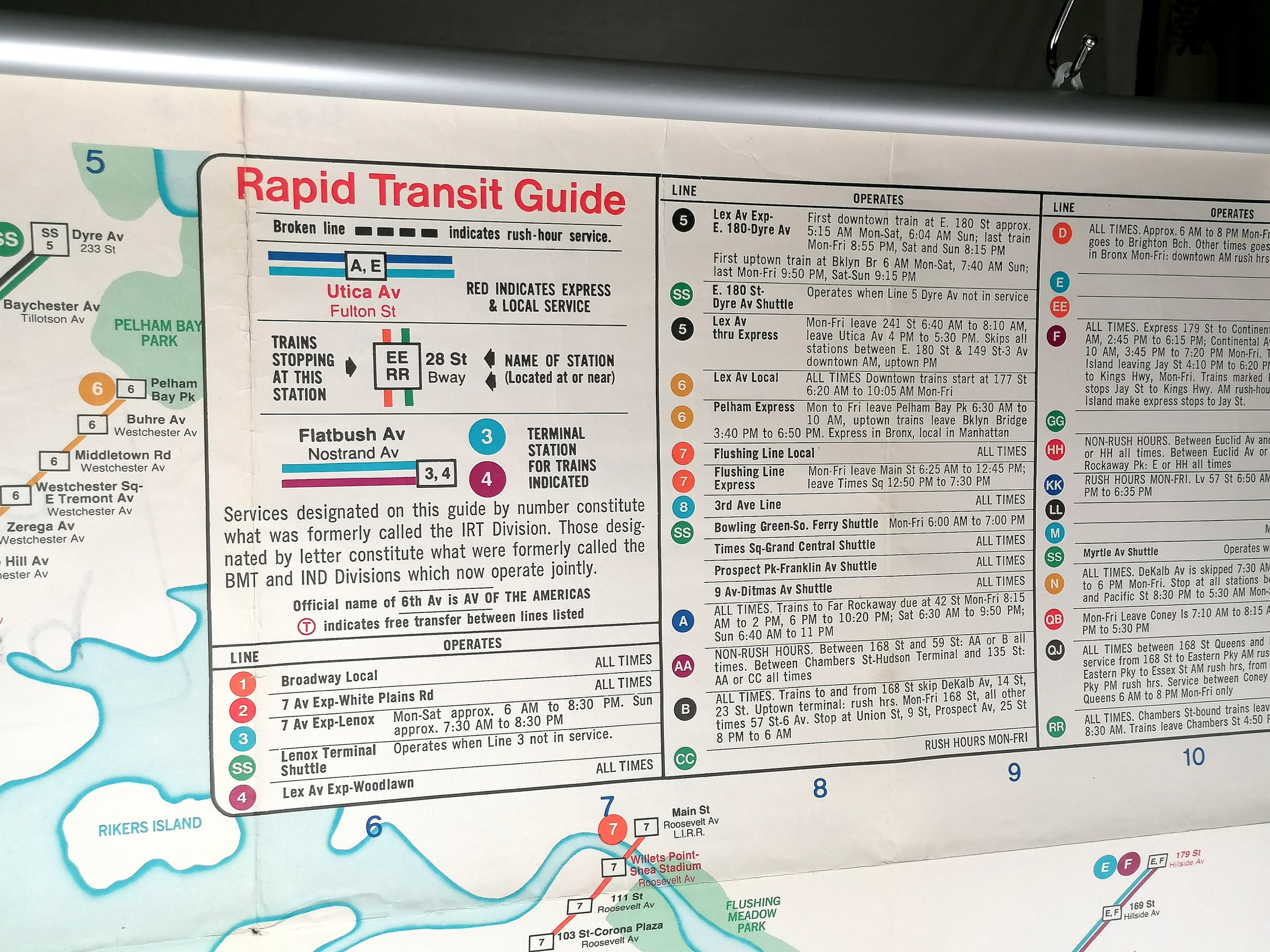
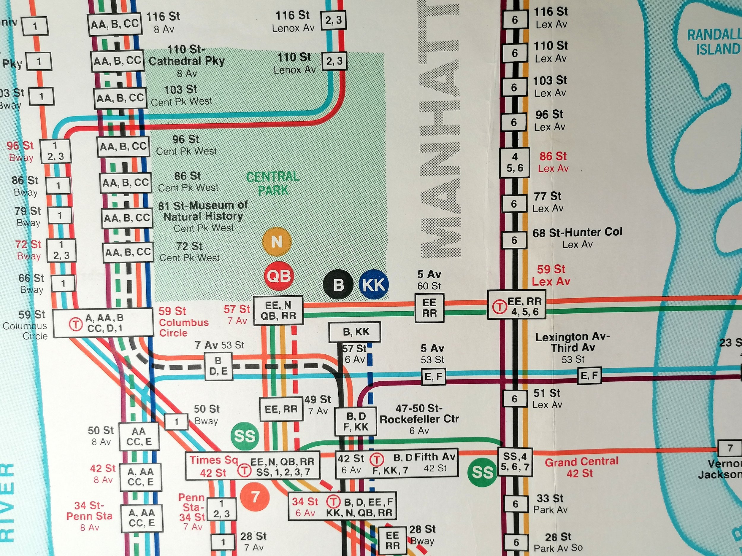
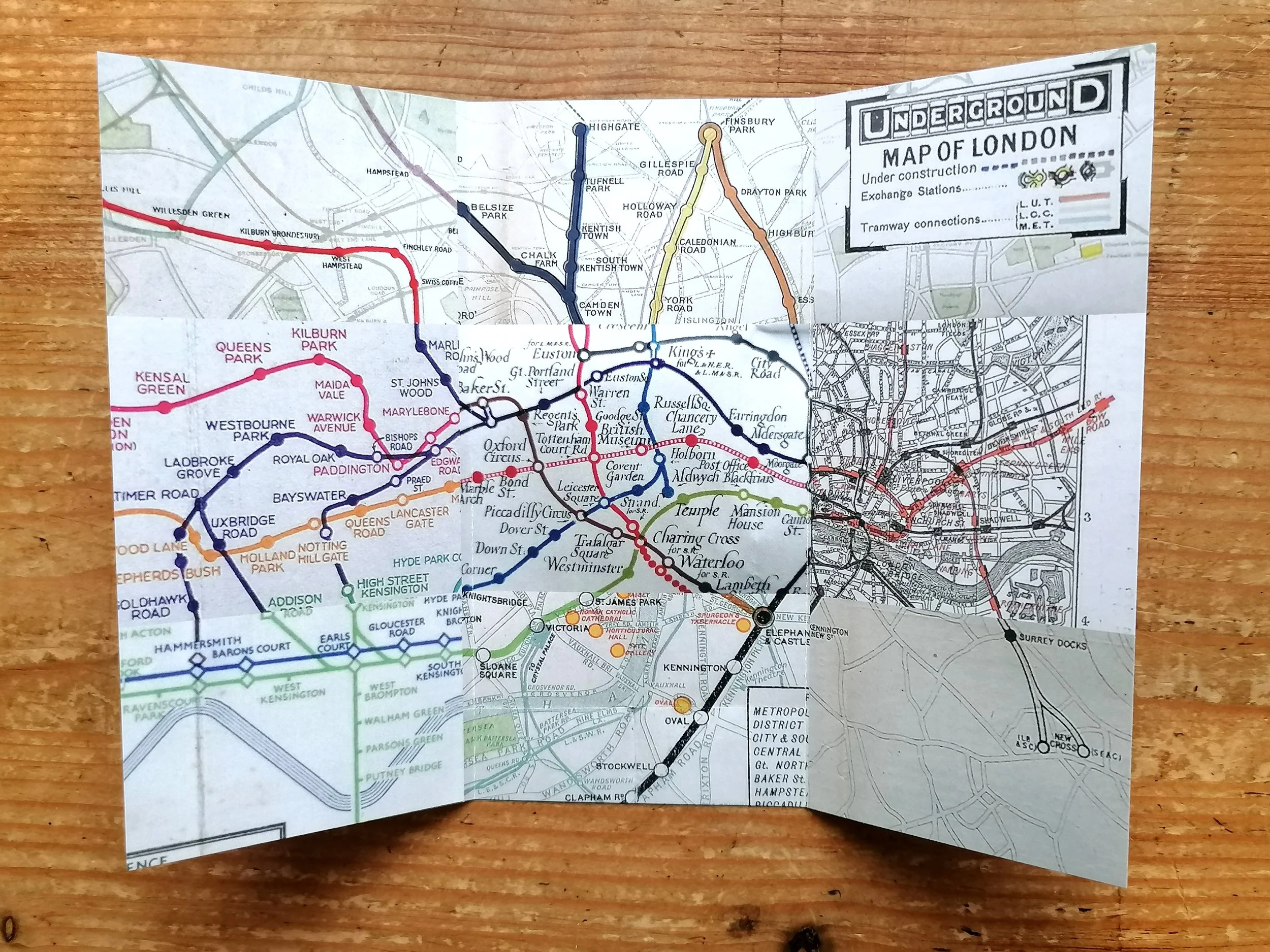
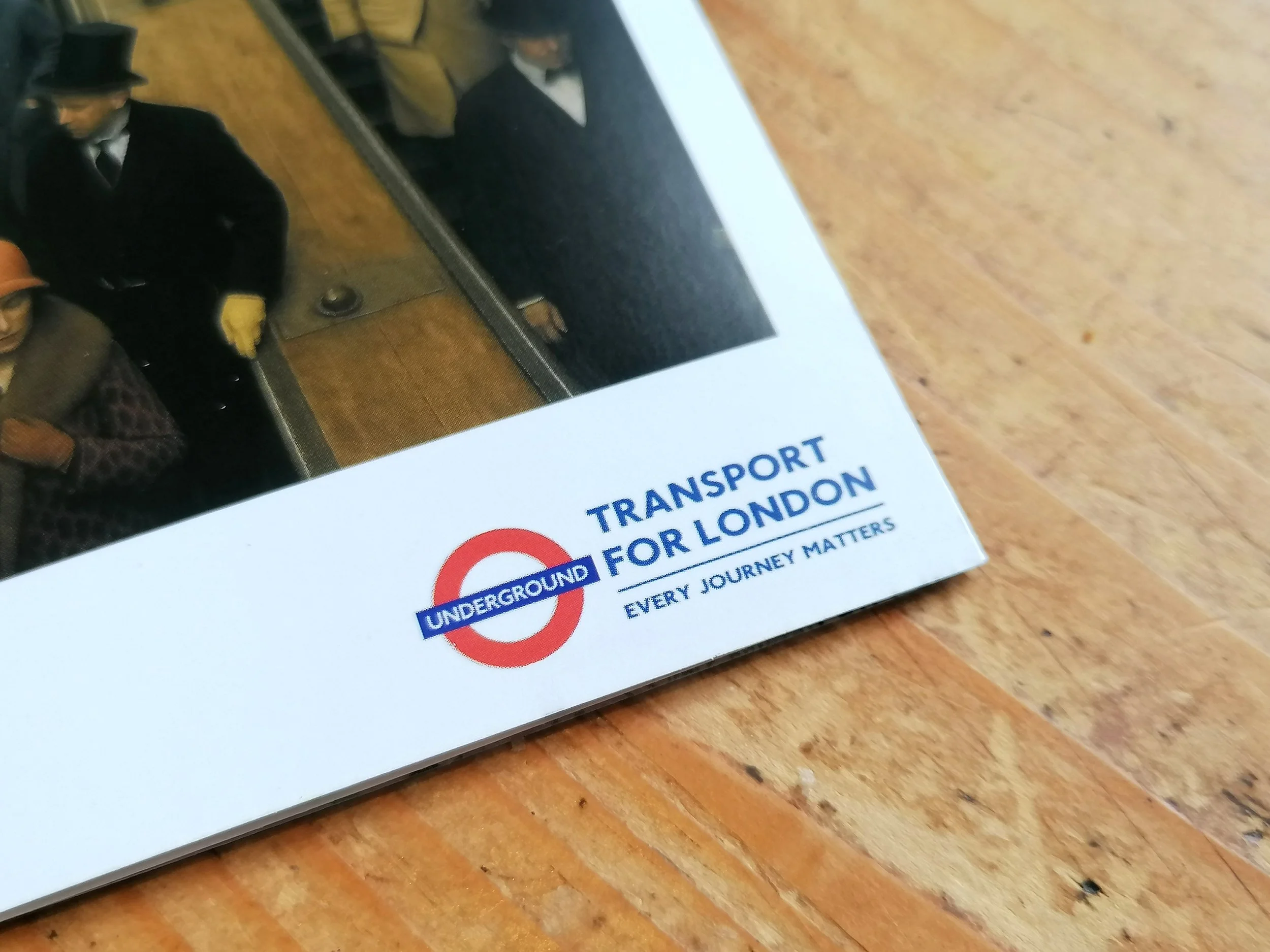
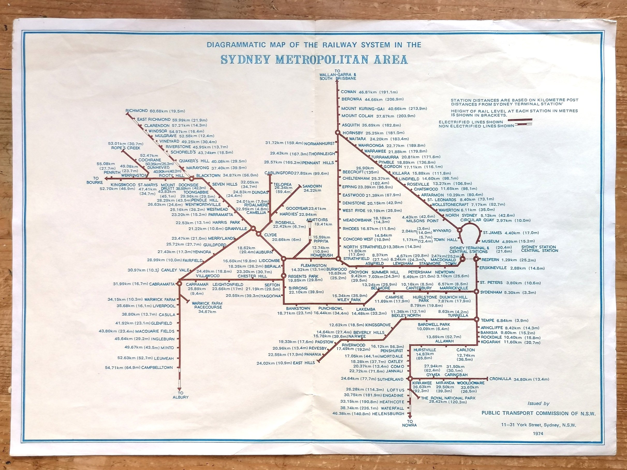
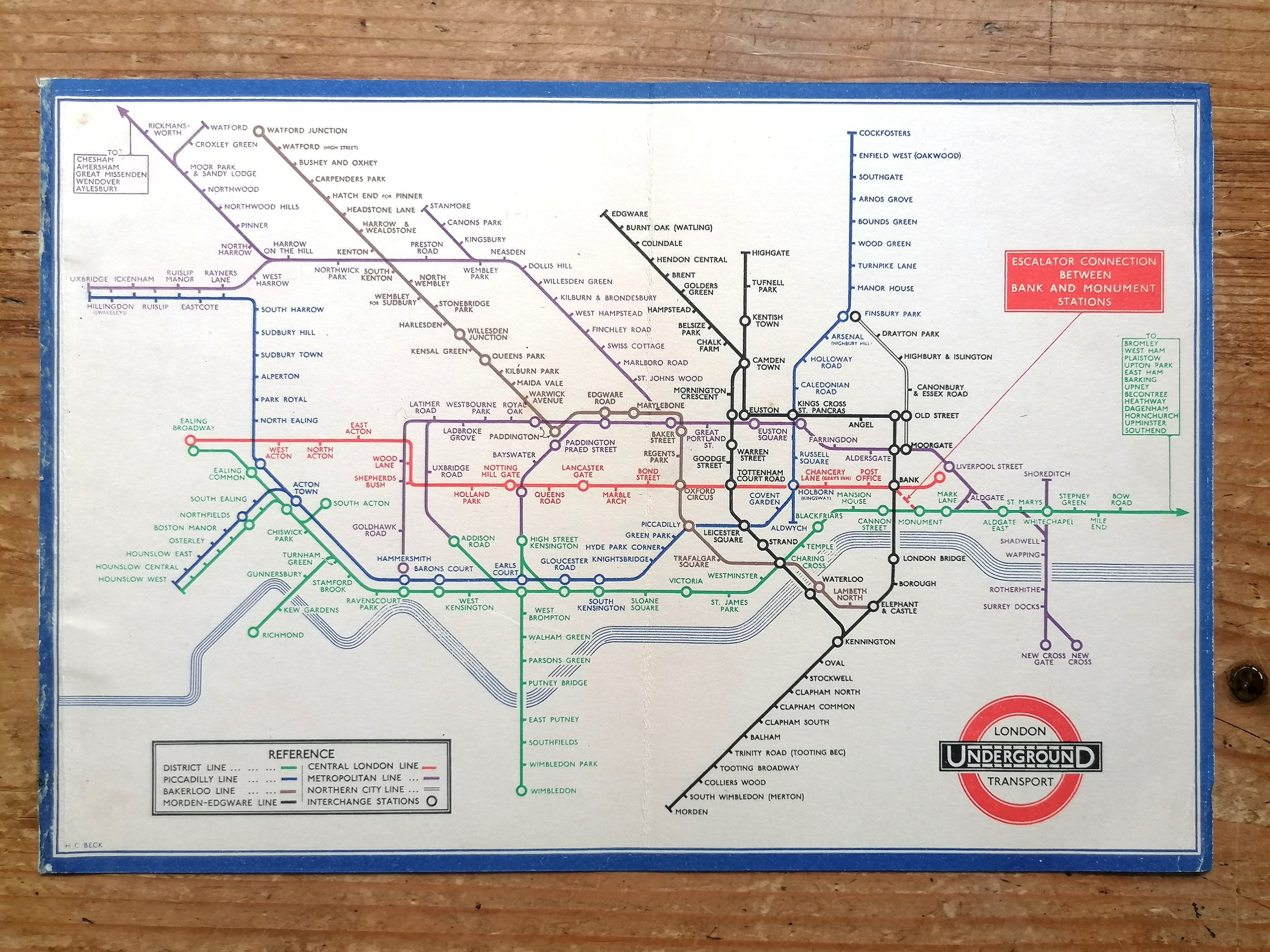
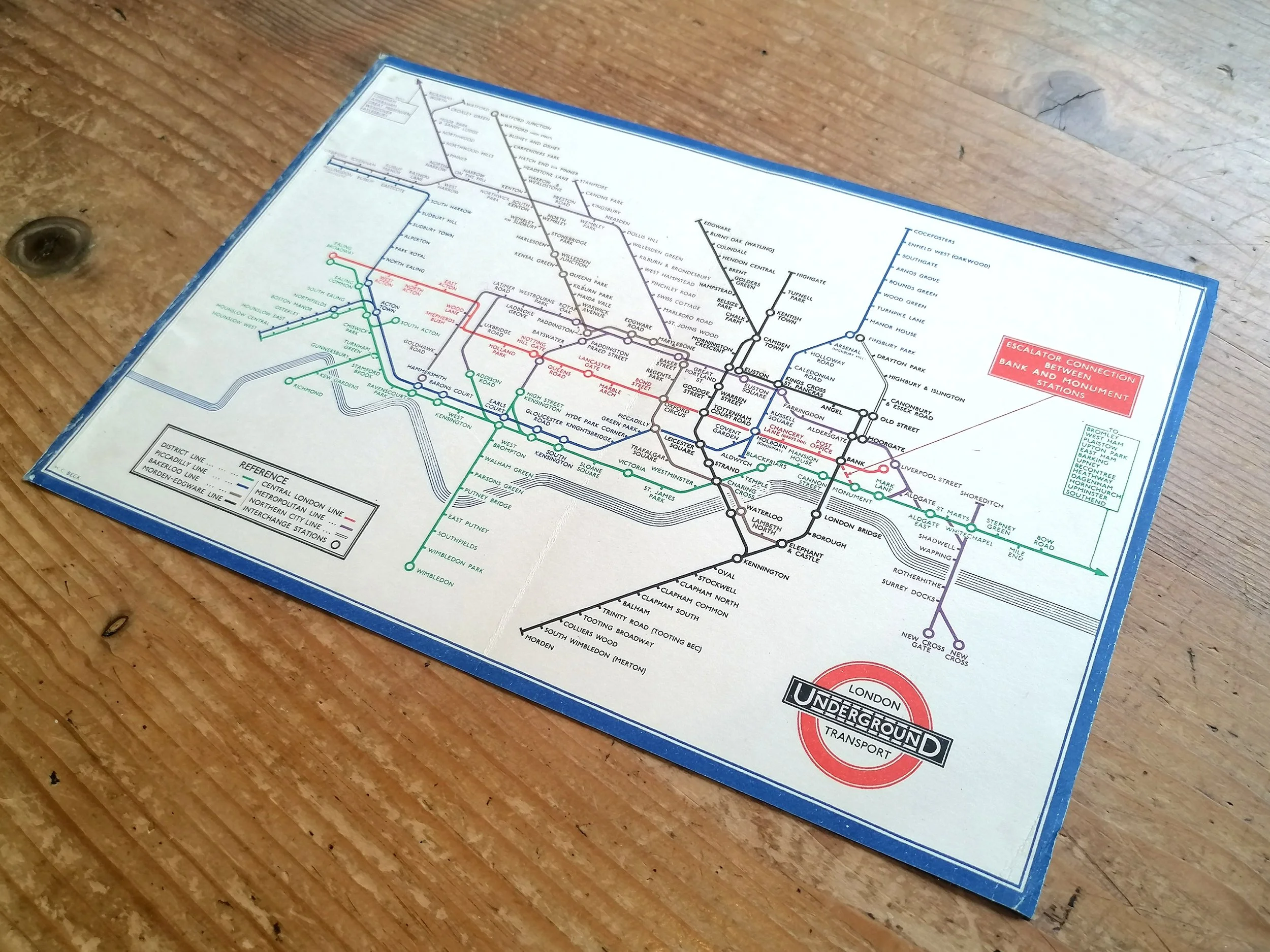
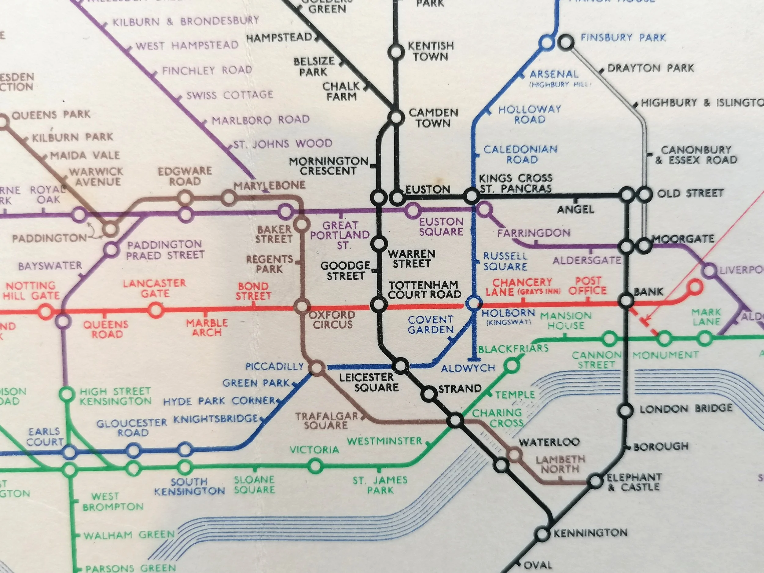
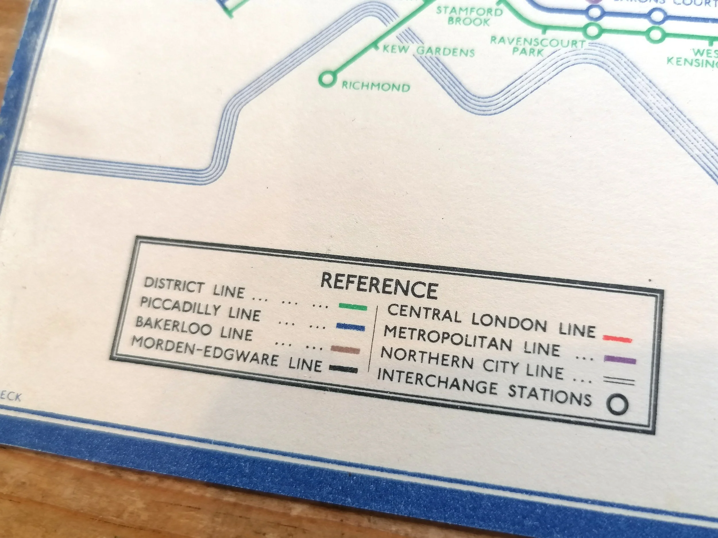
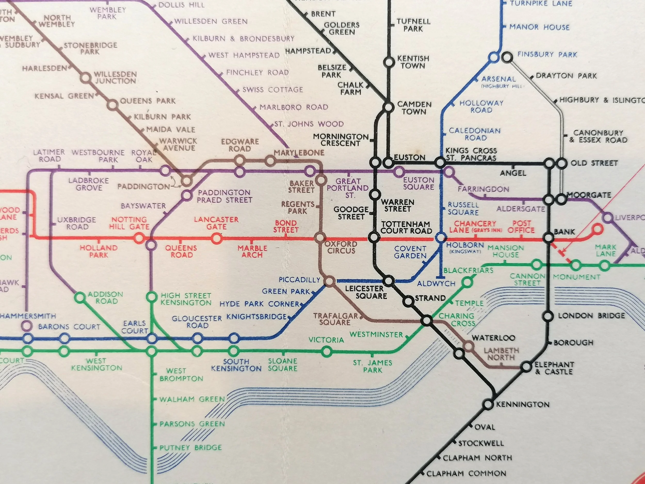
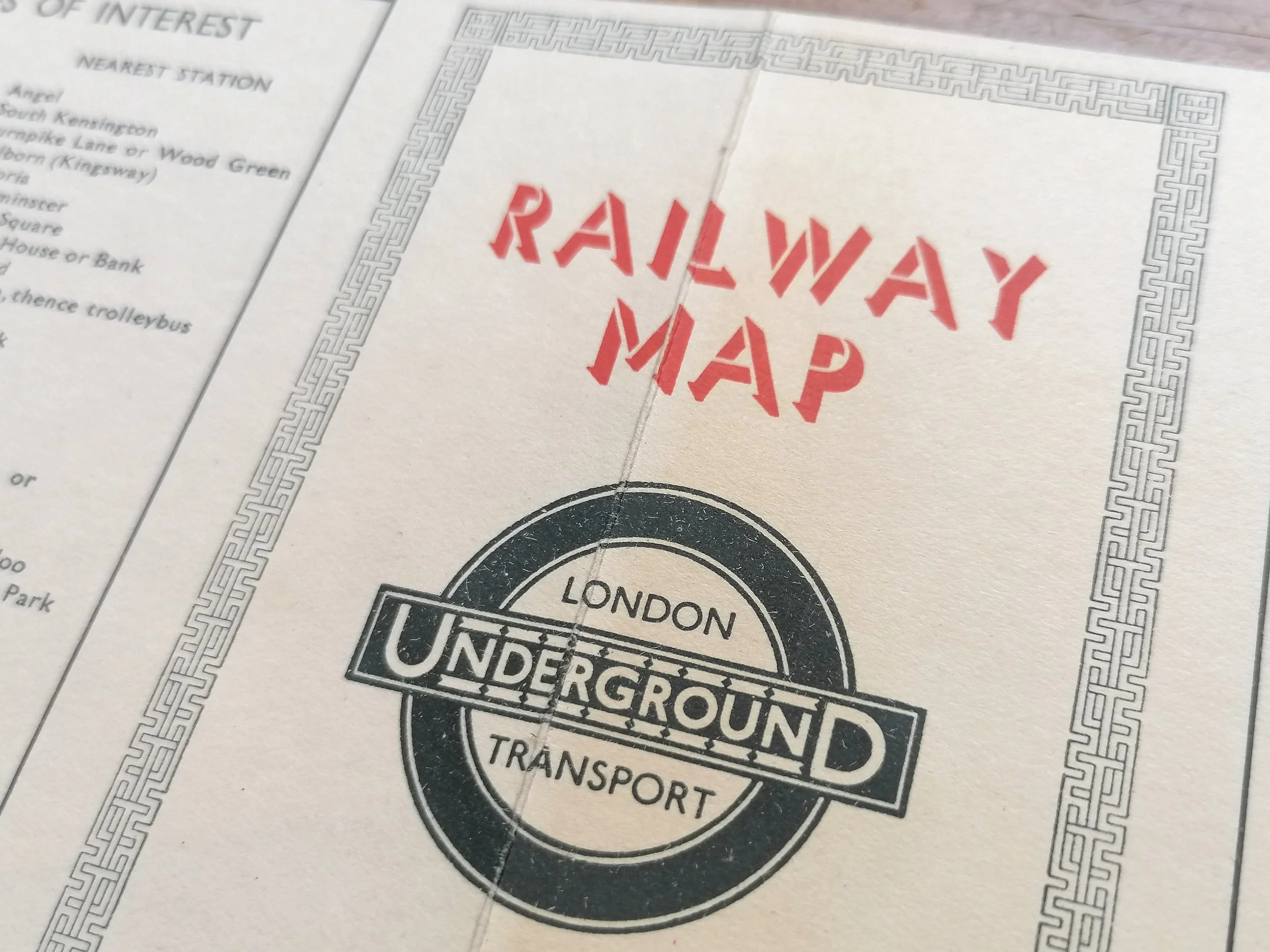
This route diagram designed by Harry Beck (designer of the iconic London Underground map from 1933) is one of very few non-London Underground maps that Beck was commissioned to design. Here, Beck has applied many of the geometric principles seen in his Underground diagram - particularly in the late 1940s where Beck's design had become increasingly rectilinear (horizontal and verticals). But unlike his Underground map, he has used 'blobs' rather than ticks for stations along the lines - a device he liked to use in his early London Underground drafts.
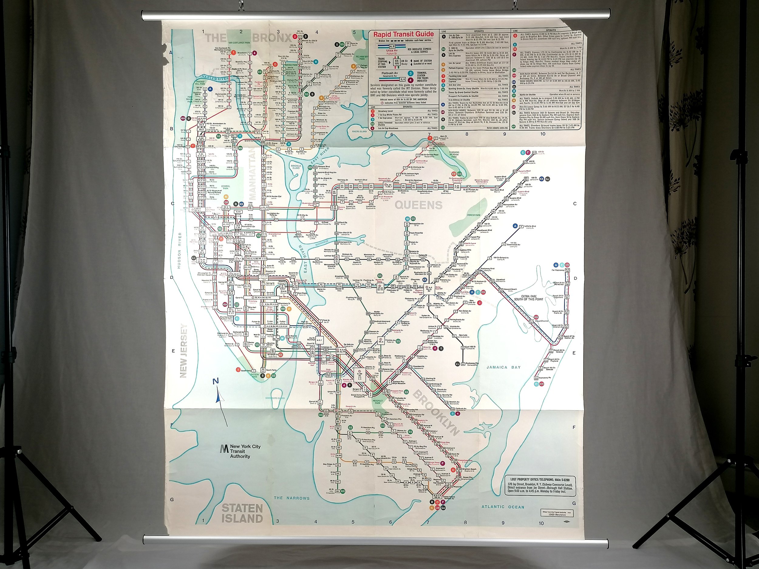
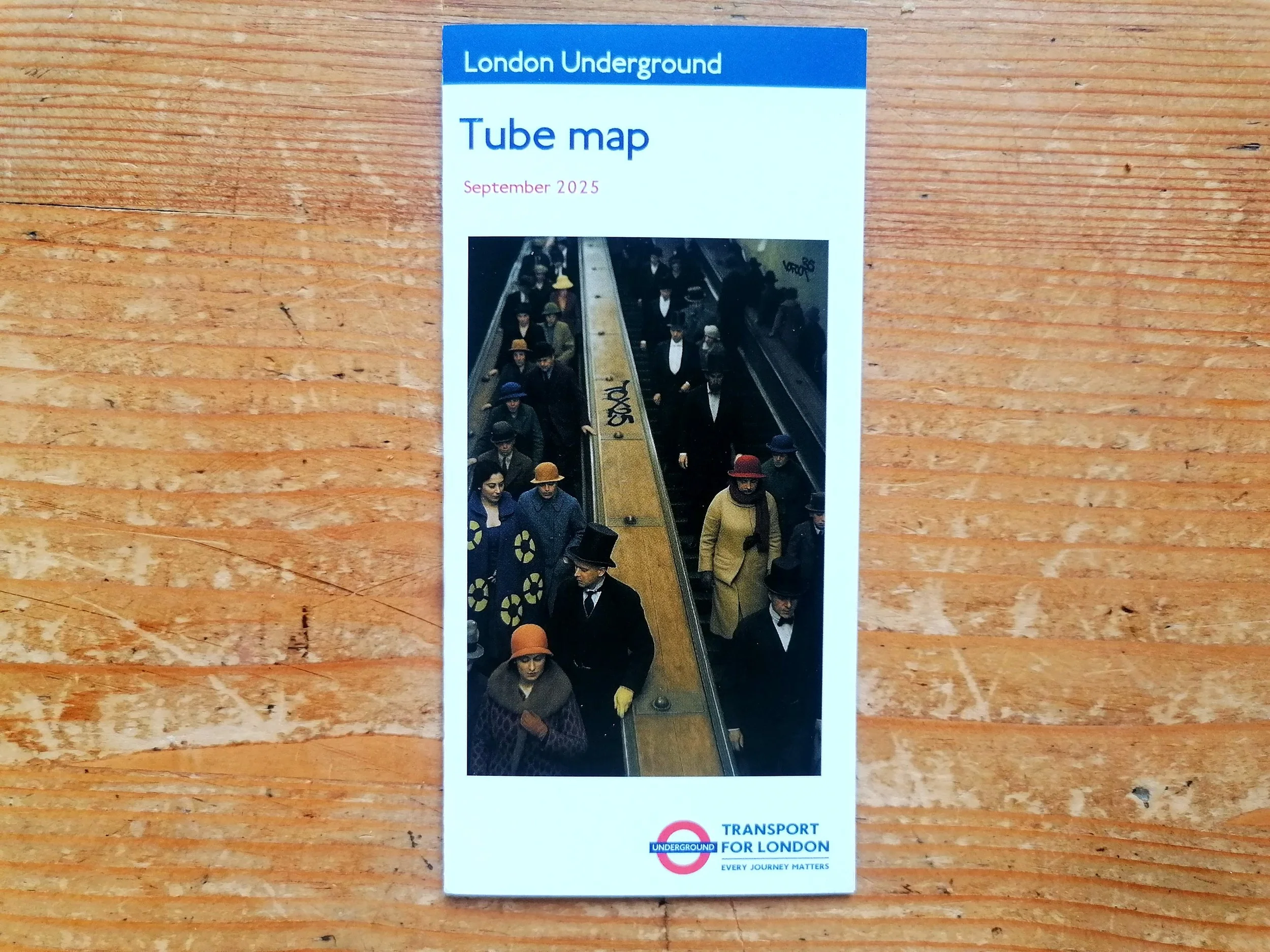
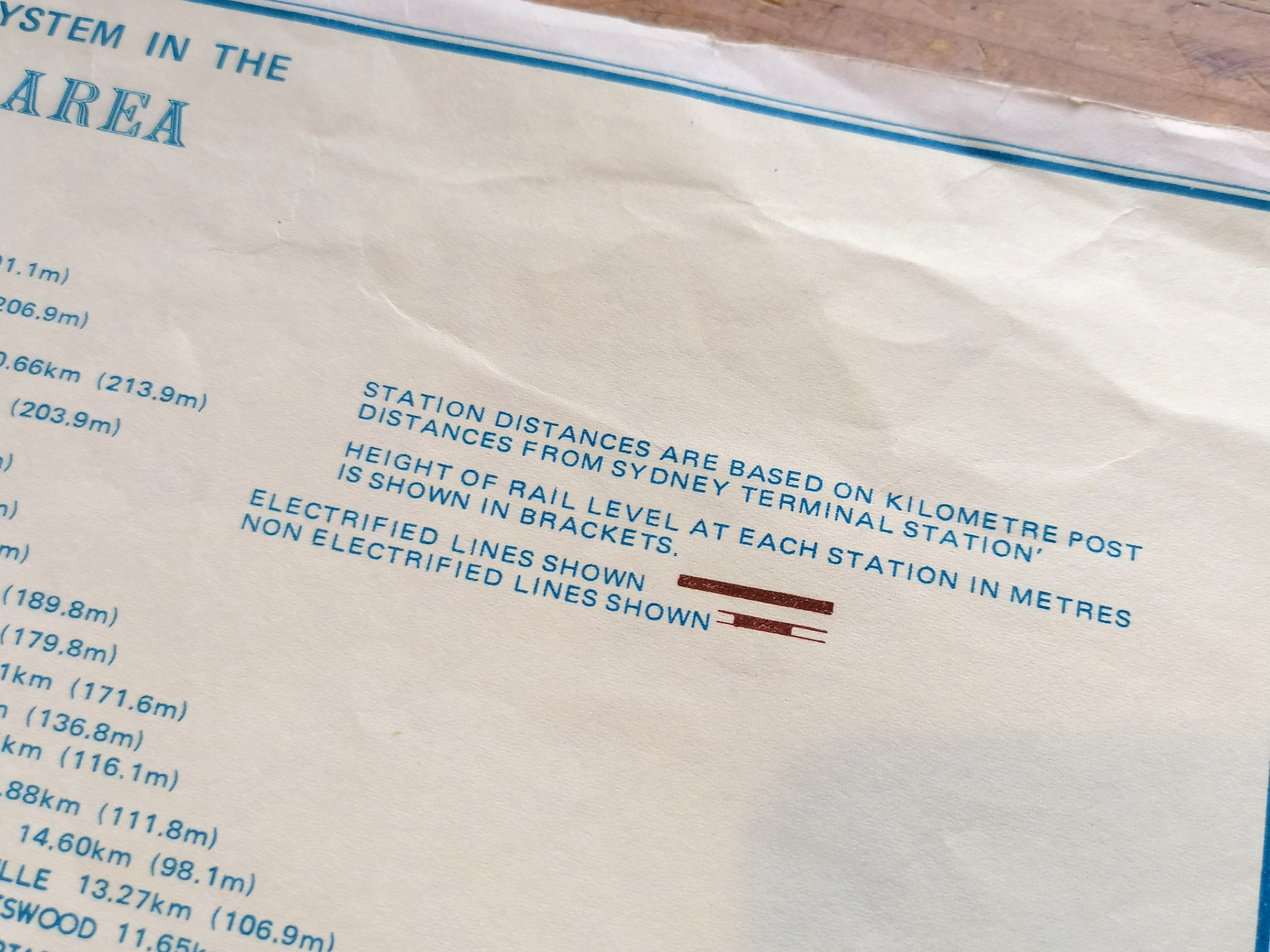
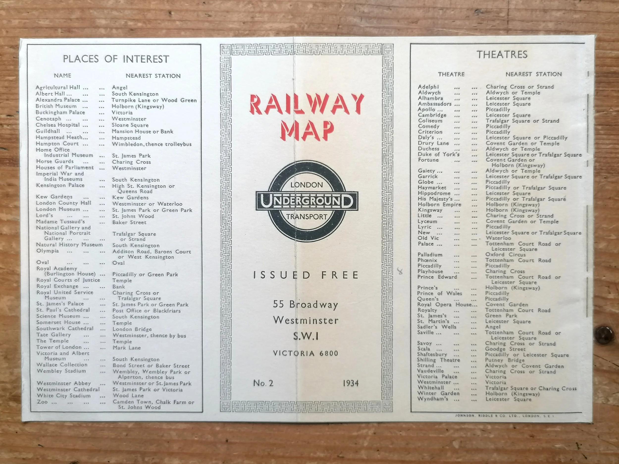
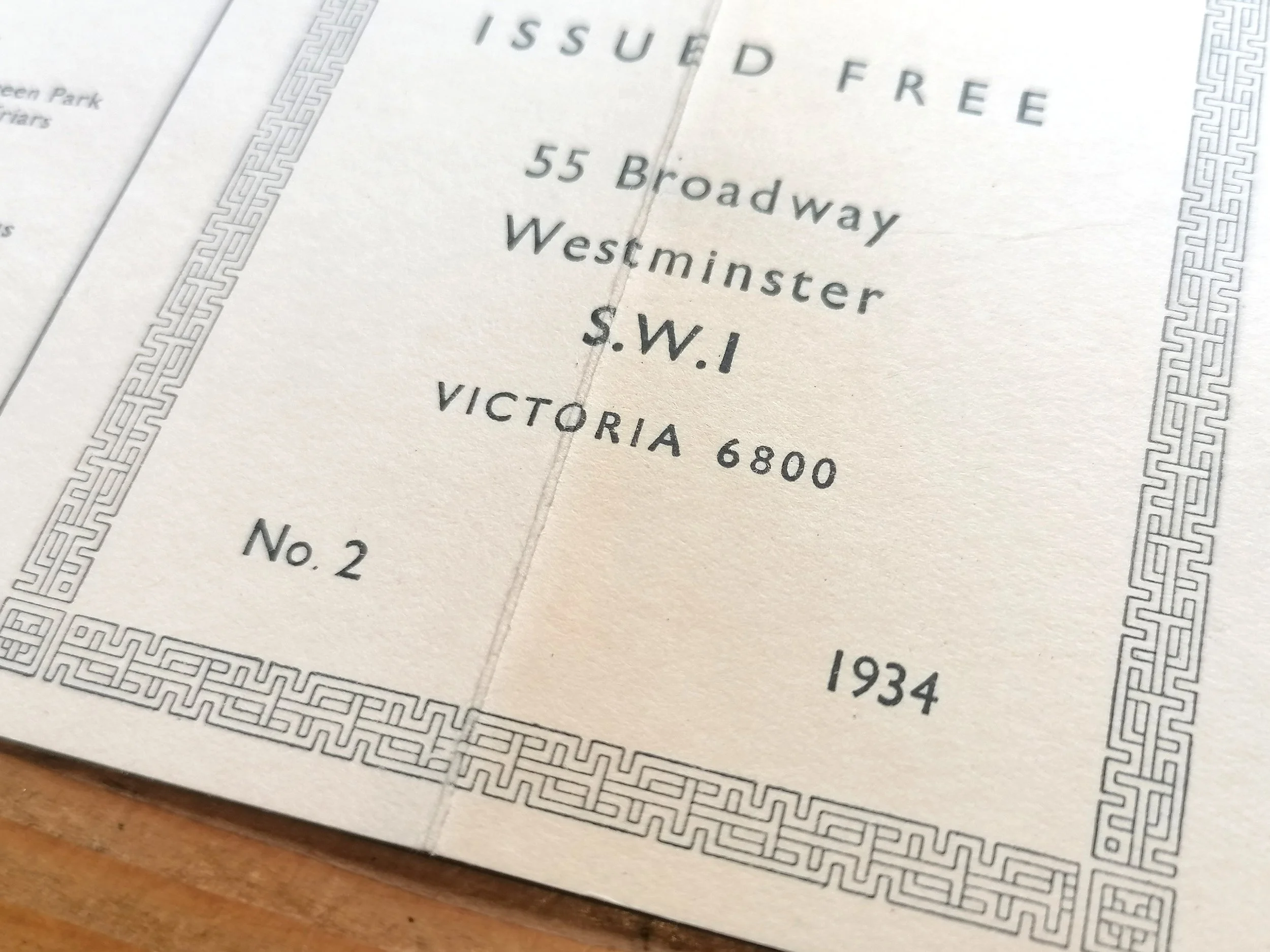
The diagrammatic map was published at the point when LNER (along with the other main line companies) became British Railways. It shows the 'Eastern Region London suburban lines' in blue with the London Underground lines in red.
Free UK Delivery. For non-UK delivery please request quotation
British Railways Eastern Region London Suburban Lines Route Diagram
Designed by Henry 'Harry' Charles Beck (1902-1975). Printed by Stafford & Co Limited. Published by British Railways. Two-colour lithograph on think paper stock. Folded as issued. Signed 'HC Beck' bottom right corner. Condition: Outstanding example. Undamaged and unmarked.Subtle diagonal crease. Please inspect photos carefully.
This route diagram designed by Harry Beck (designer of the iconic London Underground map from 1933) is one of very few non-London Underground maps that Beck was commissioned to design. Here, Beck has applied many of the geometric principles seen in his Underground diagram - particularly in the late 1940s where Beck's design had become increasingly rectilinear (horizontal and verticals). But unlike his Underground map, he has used 'blobs' rather than ticks for stations along the lines - a device he liked to use in his early London Underground drafts.
The diagrammatic map was published at the point when LNER (along with the other main line companies) became British Railways. It shows the 'Eastern Region London suburban lines' in blue with the London Underground lines in red.
Free UK Delivery. For non-UK delivery please request quotation

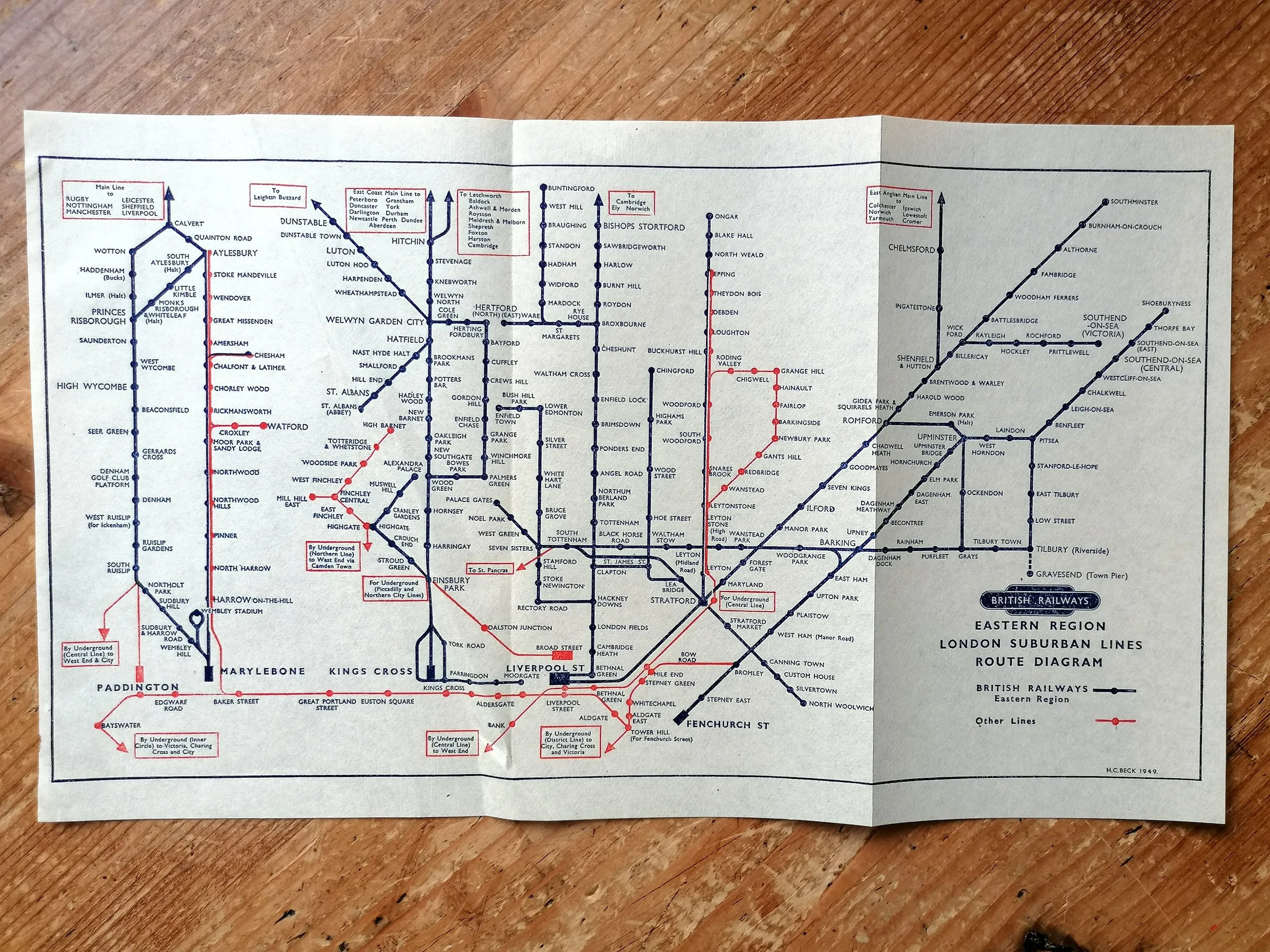 Image 1 of 7
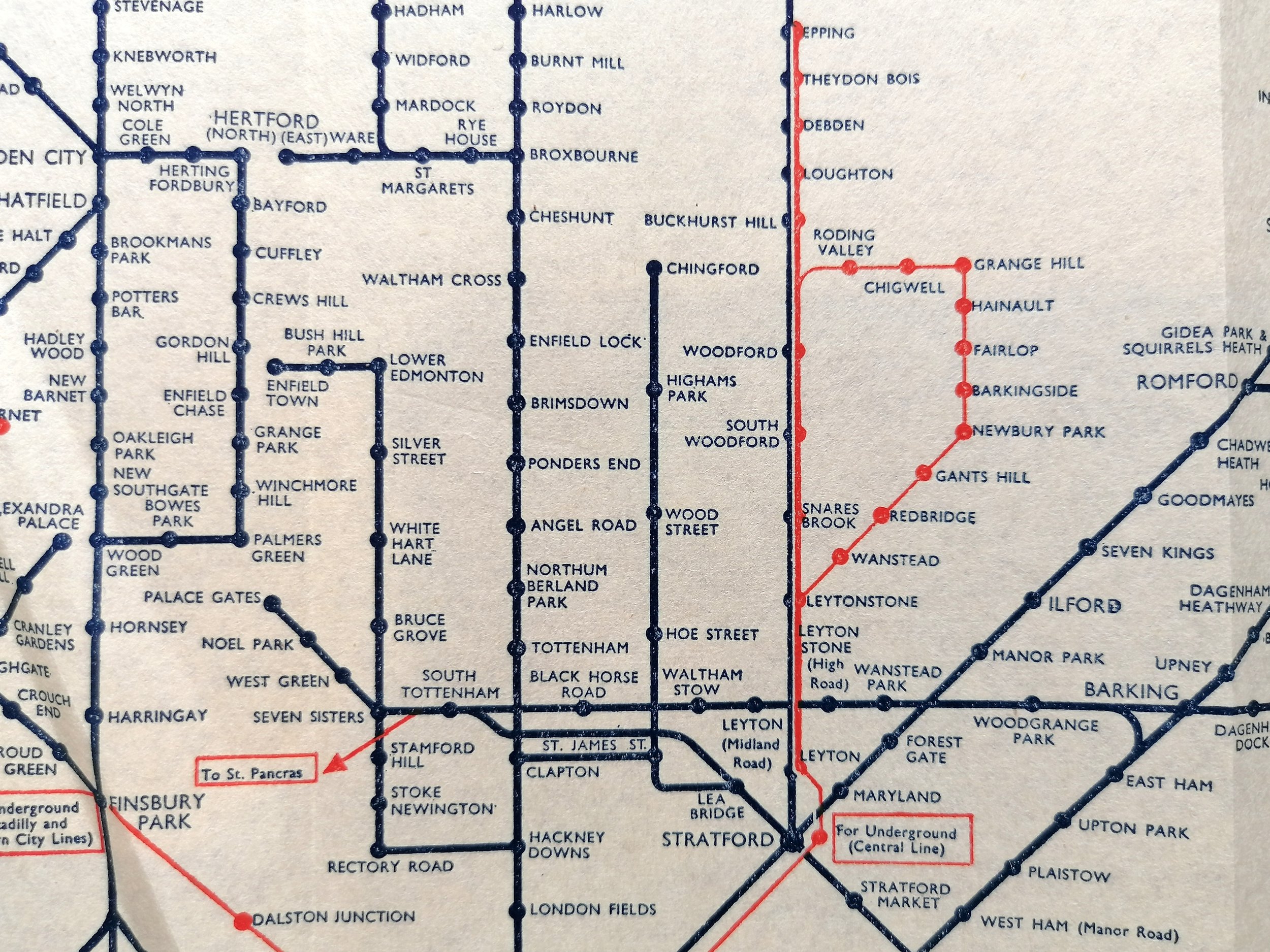 Image 2 of 7
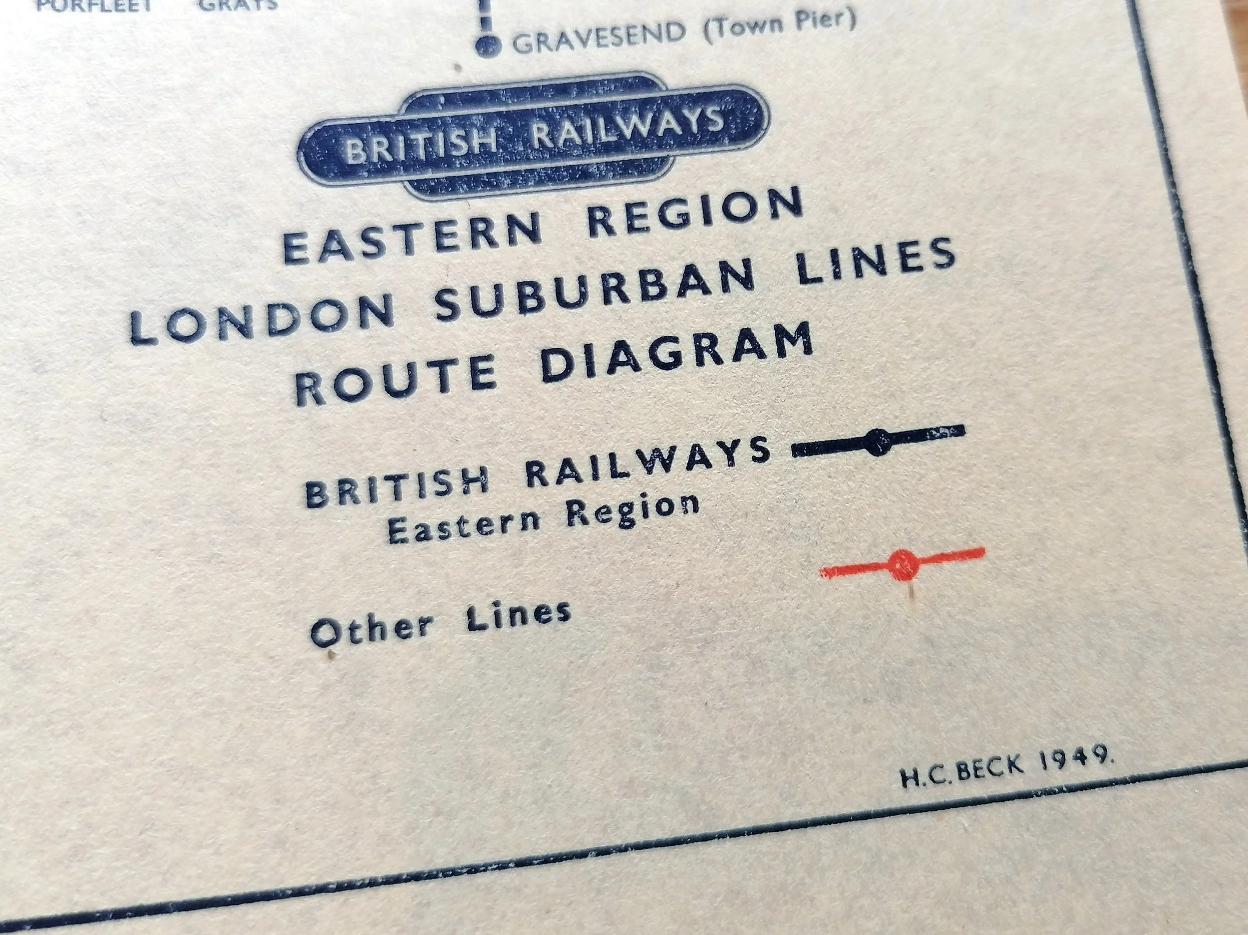 Image 3 of 7
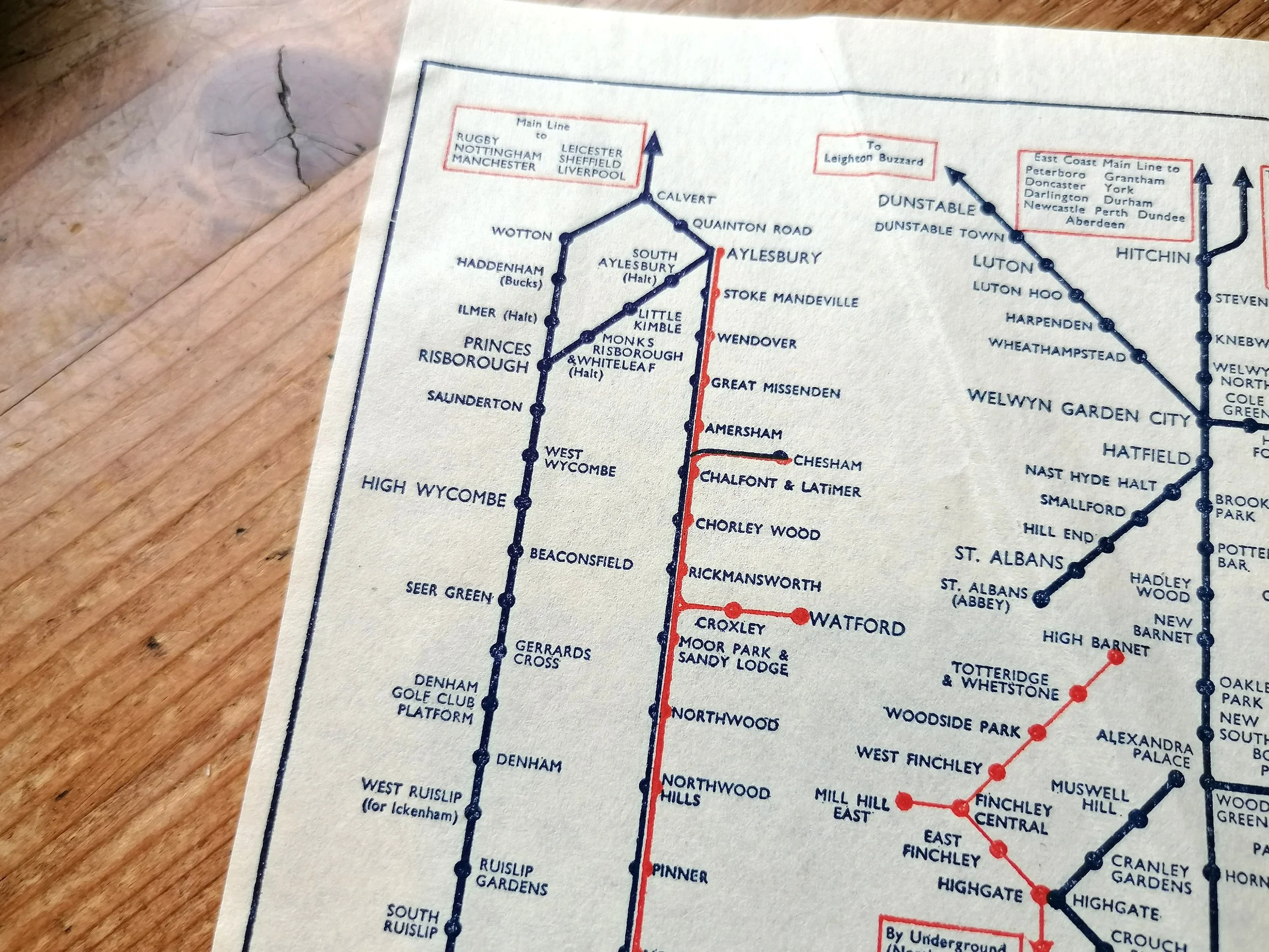 Image 4 of 7
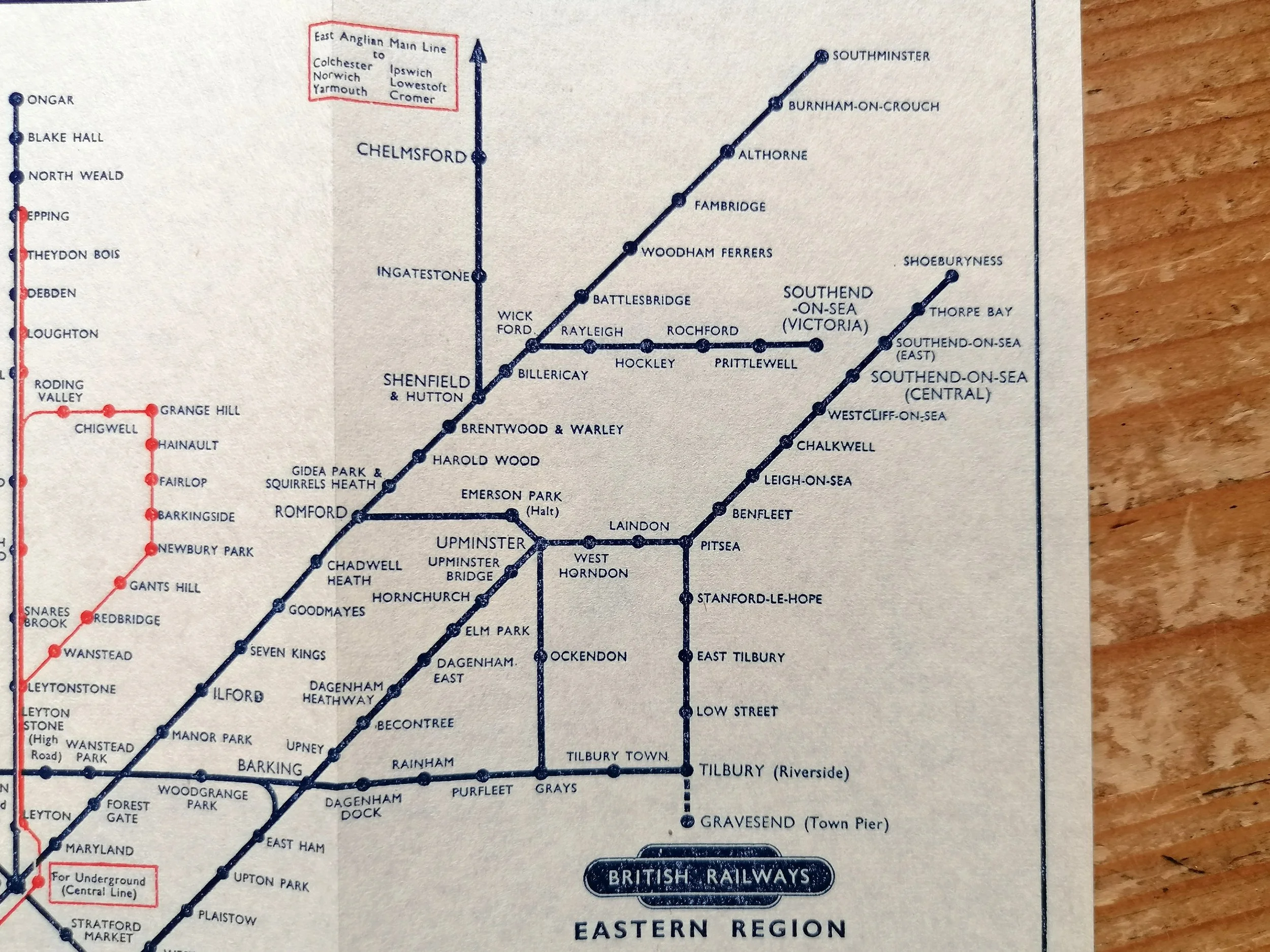 Image 5 of 7
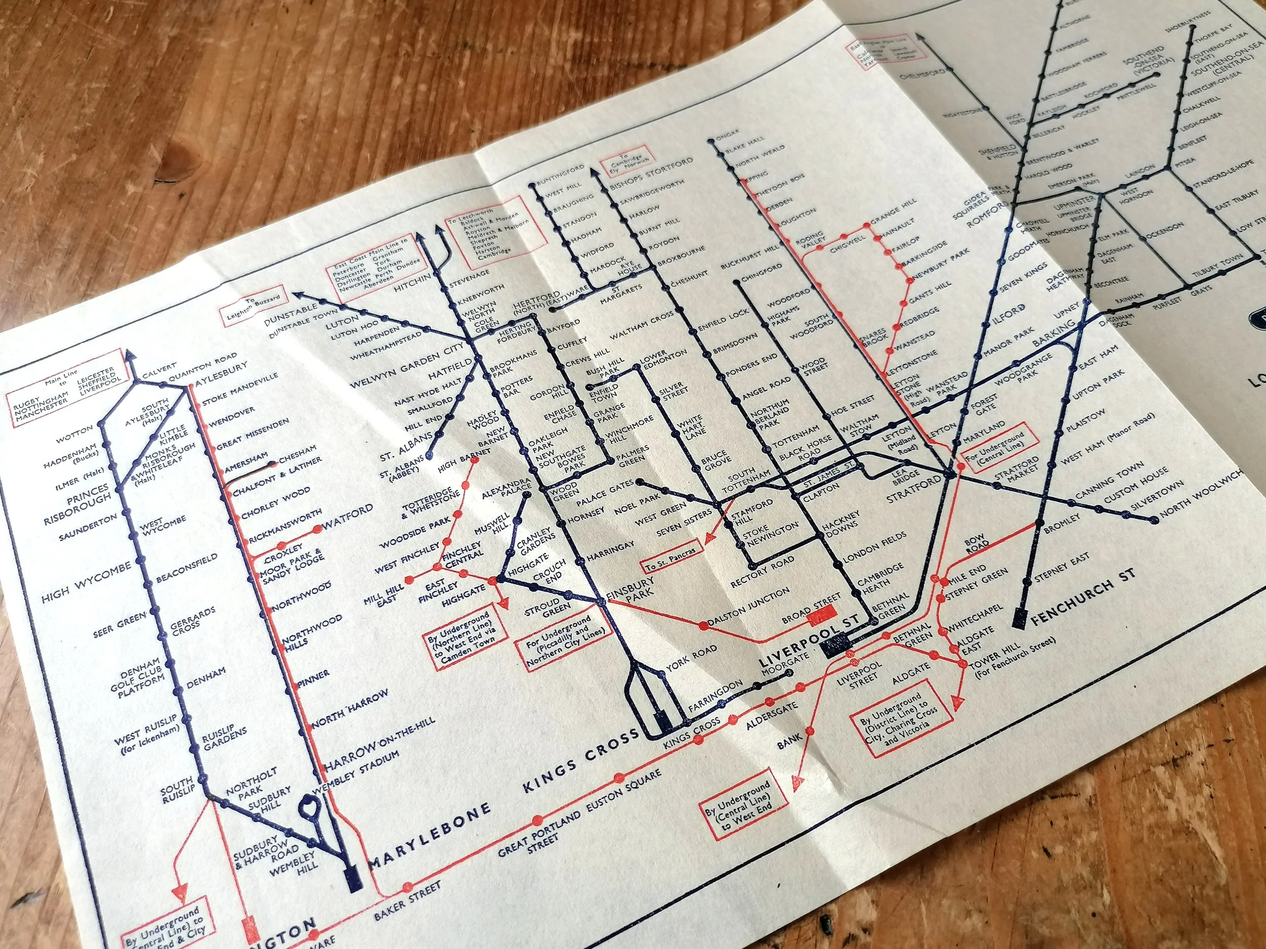 Image 6 of 7
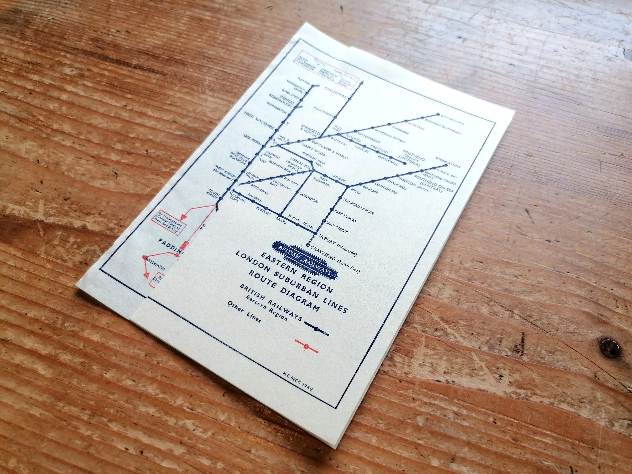 Image 7 of 7