CENTRAL LONDON RAILWAY
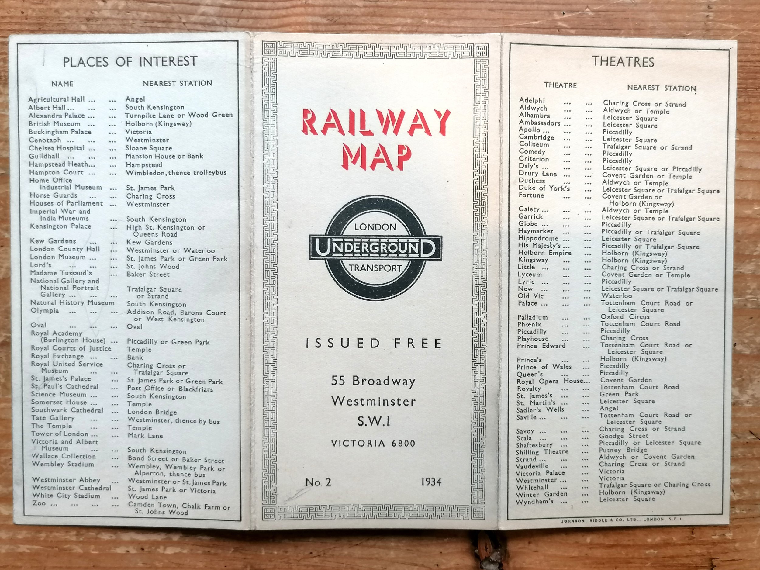
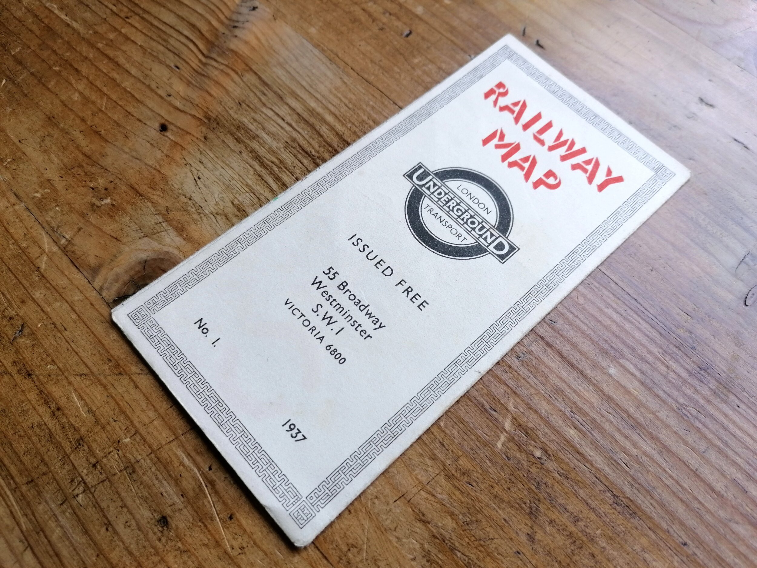
1894. Published by Central London Railway Company Limited. Printed by Waterlow & Sons. Colour lithograph on paper. Measures 73cm x 32cm. Condition: Found in a good but fragile condition. Cleaned, restored and backed onto linen, mounted and framed. An example of this map is held in the London Transport Museum Archives reference 2002/13953.
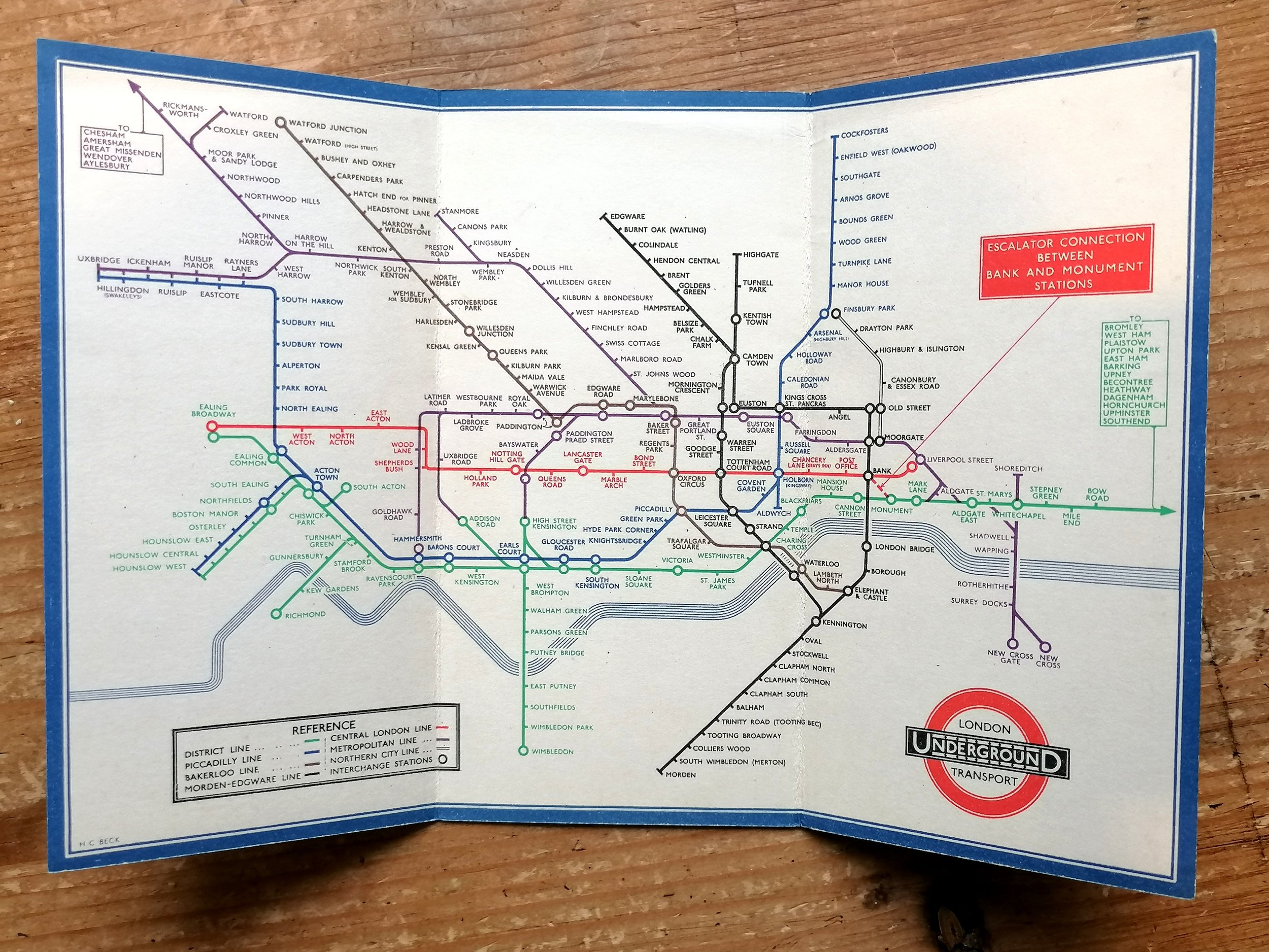
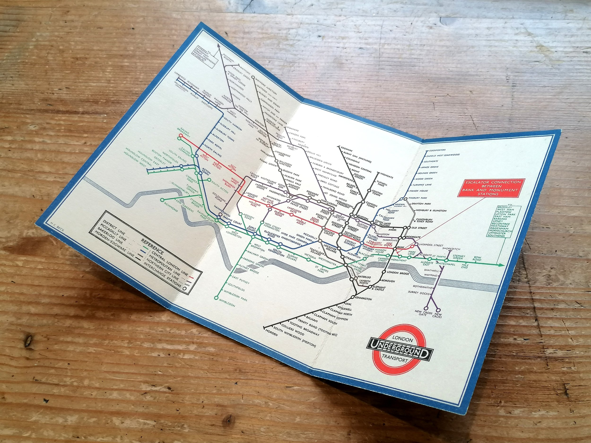
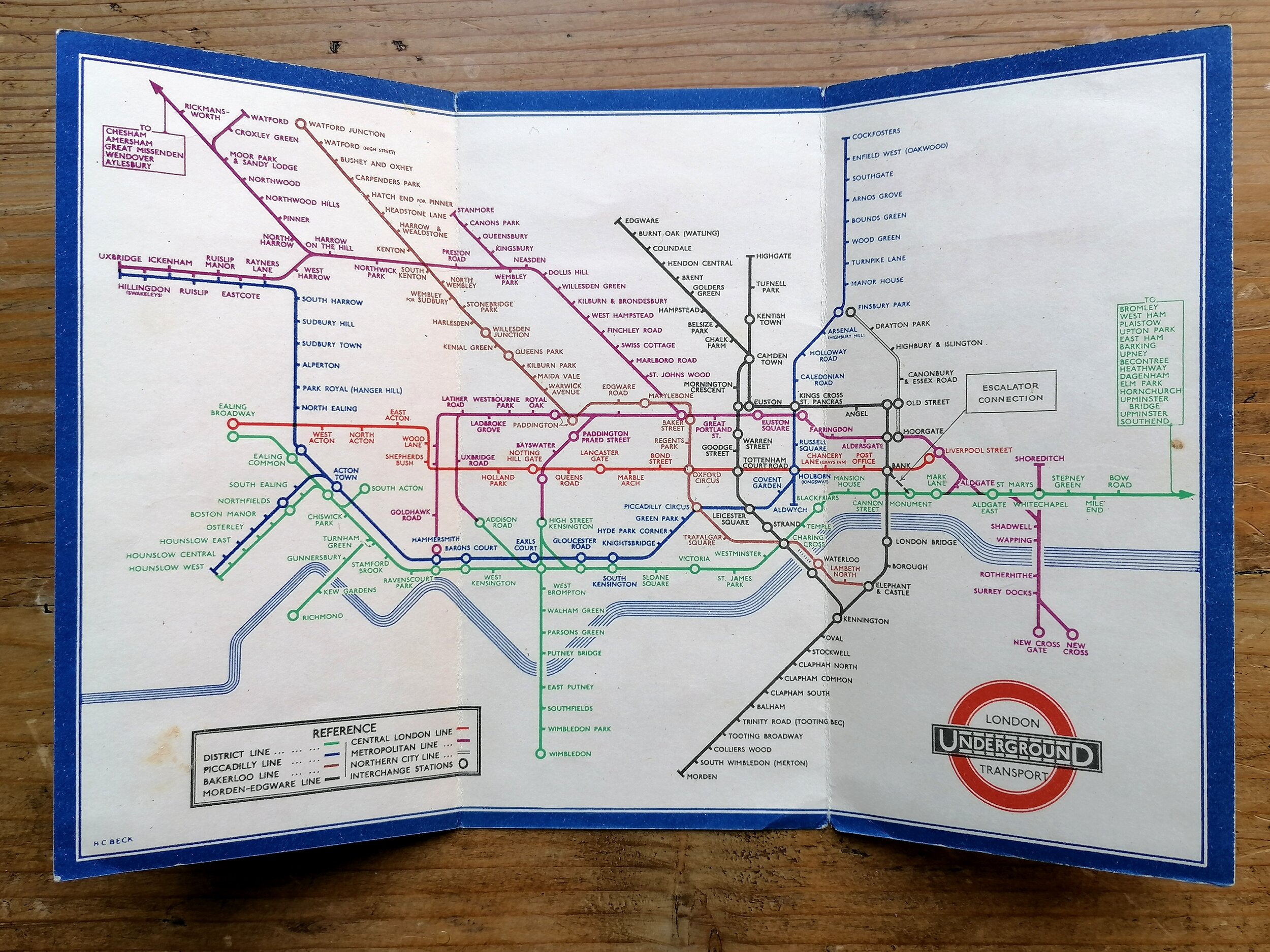
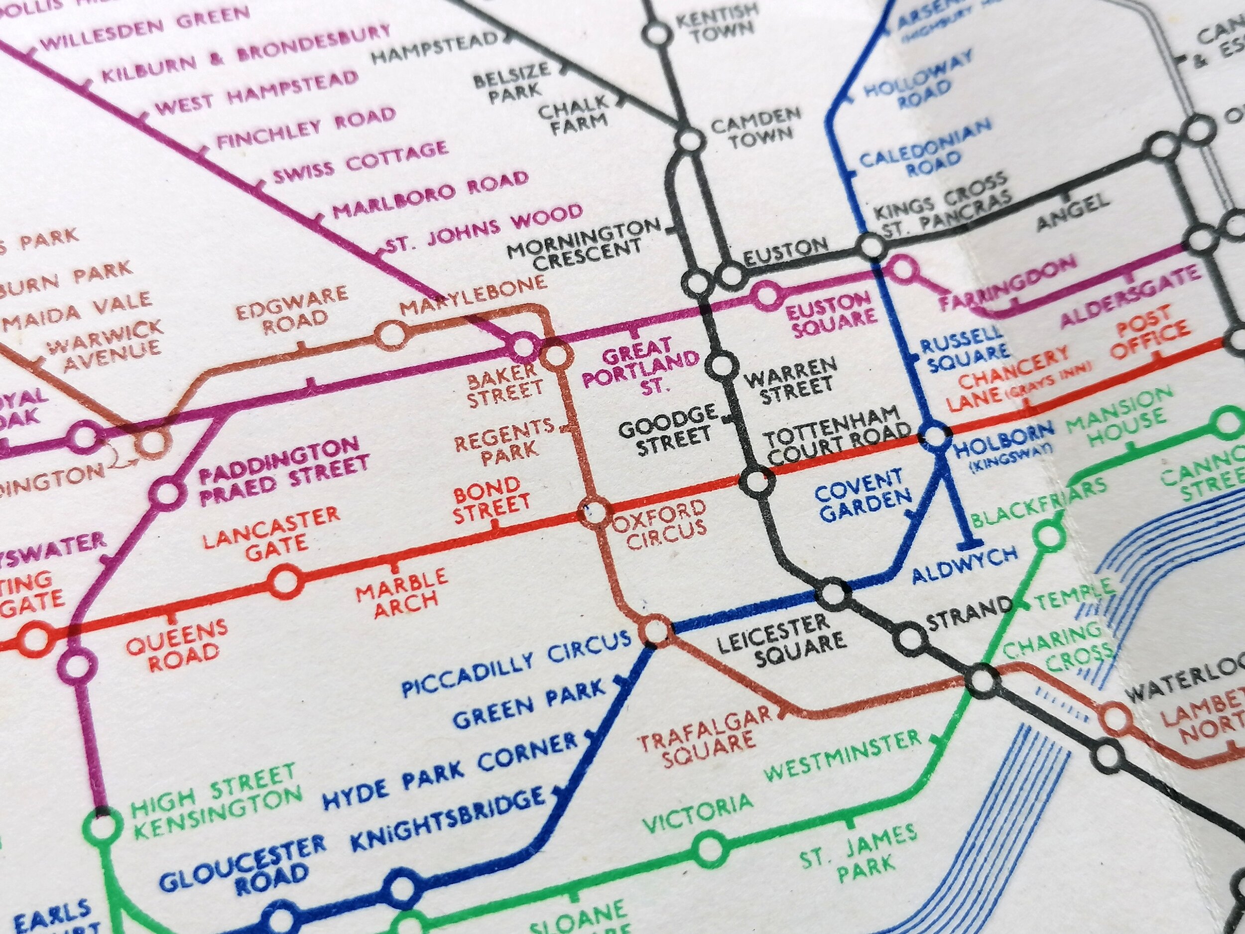
This unusual large map of the Central London Railway (now Central Line, London Underground) was issued for an investors prospectus and dates to 1894, 6 years before the lined opened in 1900. The CLR company was established in 1889, funding for construction was obtained in 1895 through a syndicate of financiers.
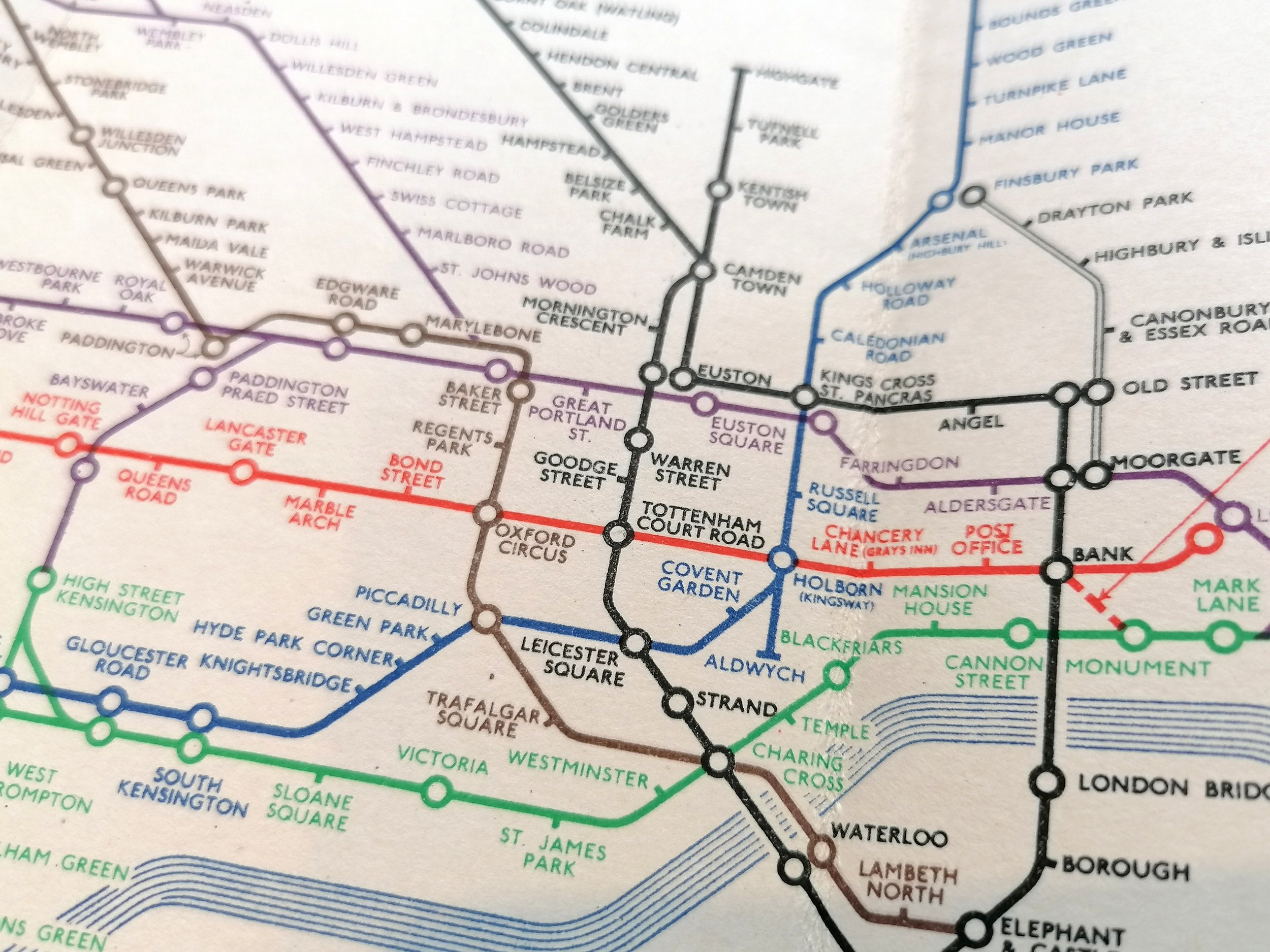
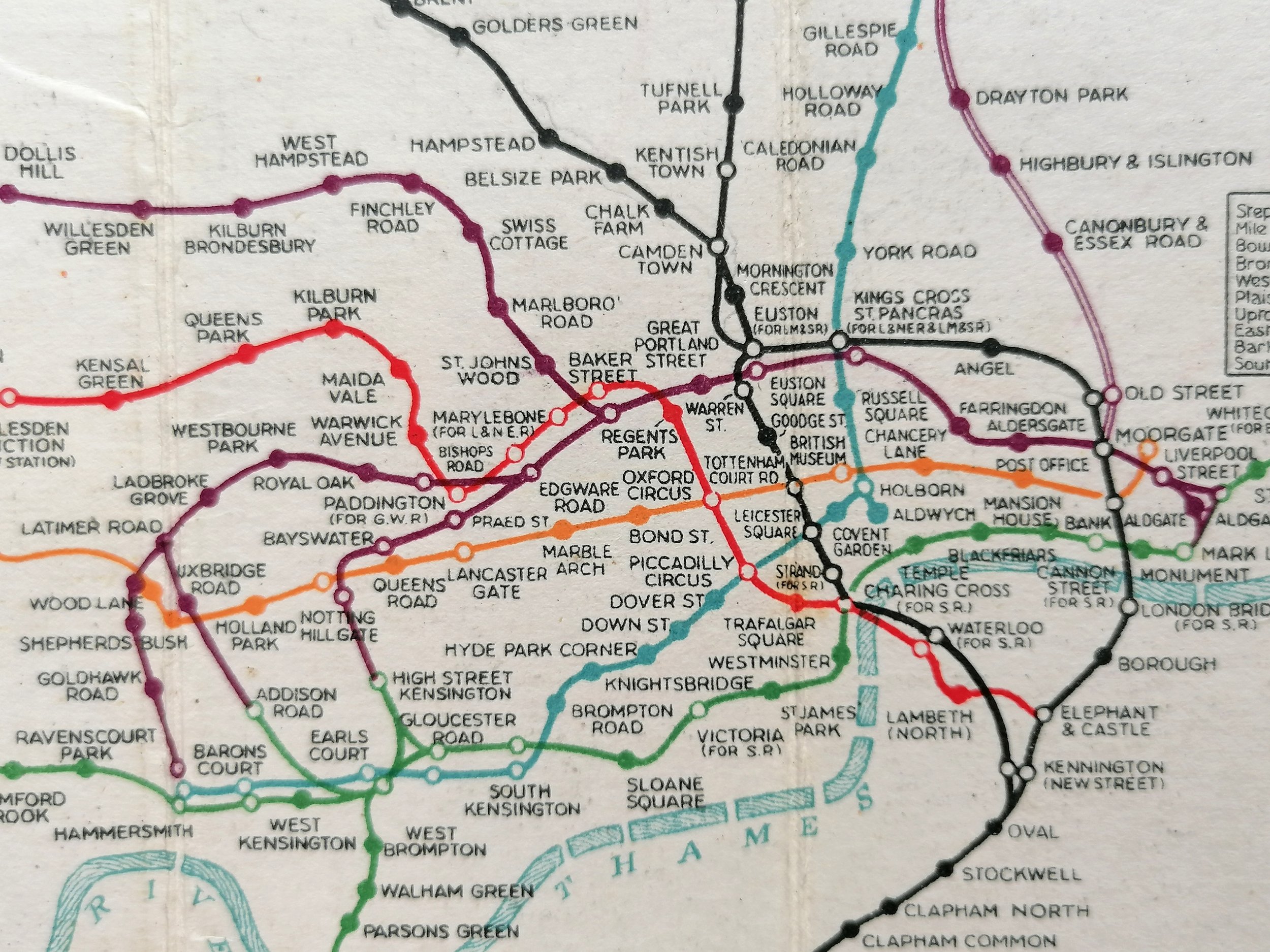
Whilst the eventual line deviated little from this 1894 proposal, some of the stations were subsequently renamed: Lancaster Gate (initially Westbourne); Bond Street (initially Davies Street) and Post Office (initially General Post Office). We also see in the proposal that the line was always intended to terminate at Liverpool Street yet it would take a further 12 years before the extension from Bank to be completed.
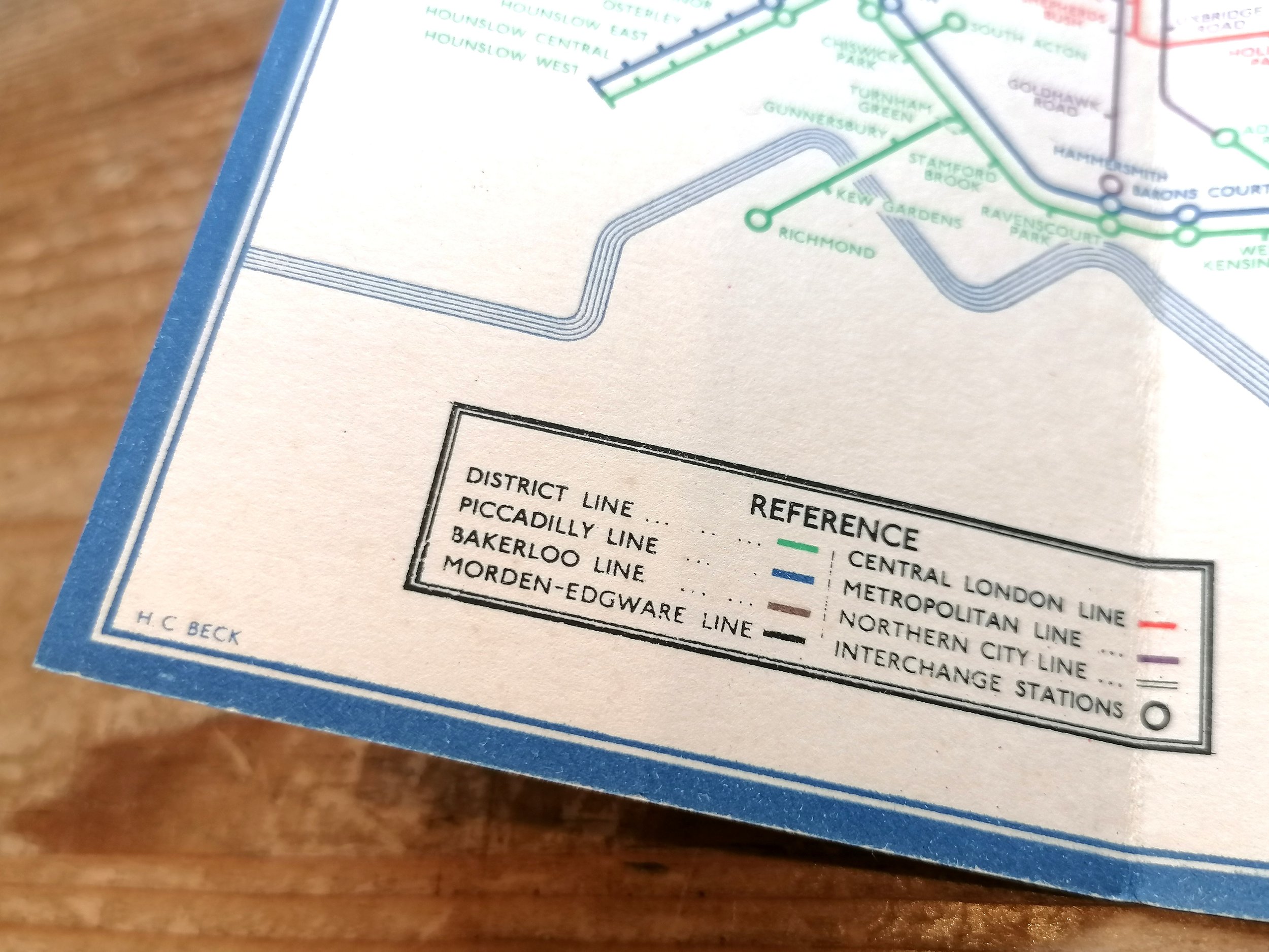
The map shows the steam railways - including the Metropolitan & District Railways - shown in red. The proposed CLR, along with the the newly opened City & South London Railway (the first deep-level tube to open, 1892) are shown in black. The Waterloo & City Railway is shown as a black dotted line; Having received Royal Assent in 1893, construction began in March 1894.
Free UK Delivery. For non-UK delivery please request a shipping quotation.
CENTRAL LONDON RAILWAY
1894. Published by Central London Railway Company Limited. Printed by Waterlow & Sons. Colour lithograph on paper. Measures 73cm x 32cm. Condition: Found in a good but fragile condition. Cleaned, restored and backed onto linen, mounted and framed. An example of this map is held in the London Transport Museum Archives reference 2002/13953.
This unusual large map of the Central London Railway (now Central Line, London Underground) was issued for an investors prospectus and dates to 1894, 6 years before the lined opened in 1900. The CLR company was established in 1889, funding for construction was obtained in 1895 through a syndicate of financiers.
Whilst the eventual line deviated little from this 1894 proposal, some of the stations were subsequently renamed: Lancaster Gate (initially Westbourne); Bond Street (initially Davies Street) and Post Office (initially General Post Office). We also see in the proposal that the line was always intended to terminate at Liverpool Street yet it would take a further 12 years before the extension from Bank to be completed.
The map shows the steam railways - including the Metropolitan & District Railways - shown in red. The proposed CLR, along with the the newly opened City & South London Railway (the first deep-level tube to open, 1892) are shown in black. The Waterloo & City Railway is shown as a black dotted line; Having received Royal Assent in 1893, construction began in March 1894.
Free UK Delivery. For non-UK delivery please request a shipping quotation.

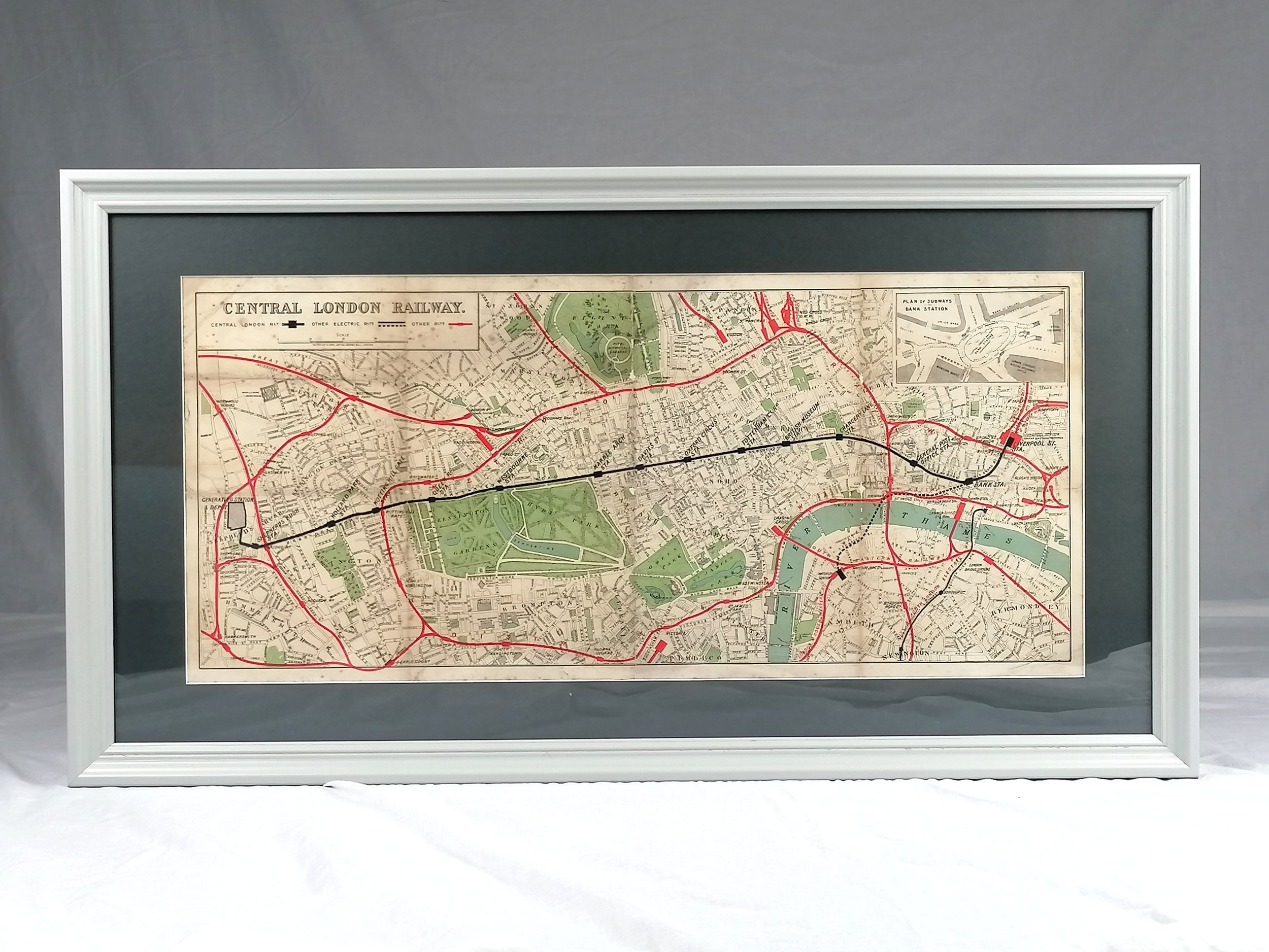 Image 1 of 10
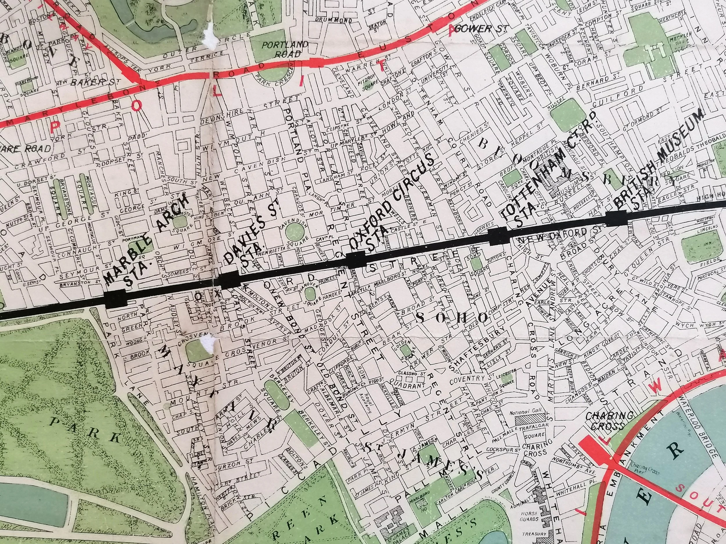 Image 2 of 10
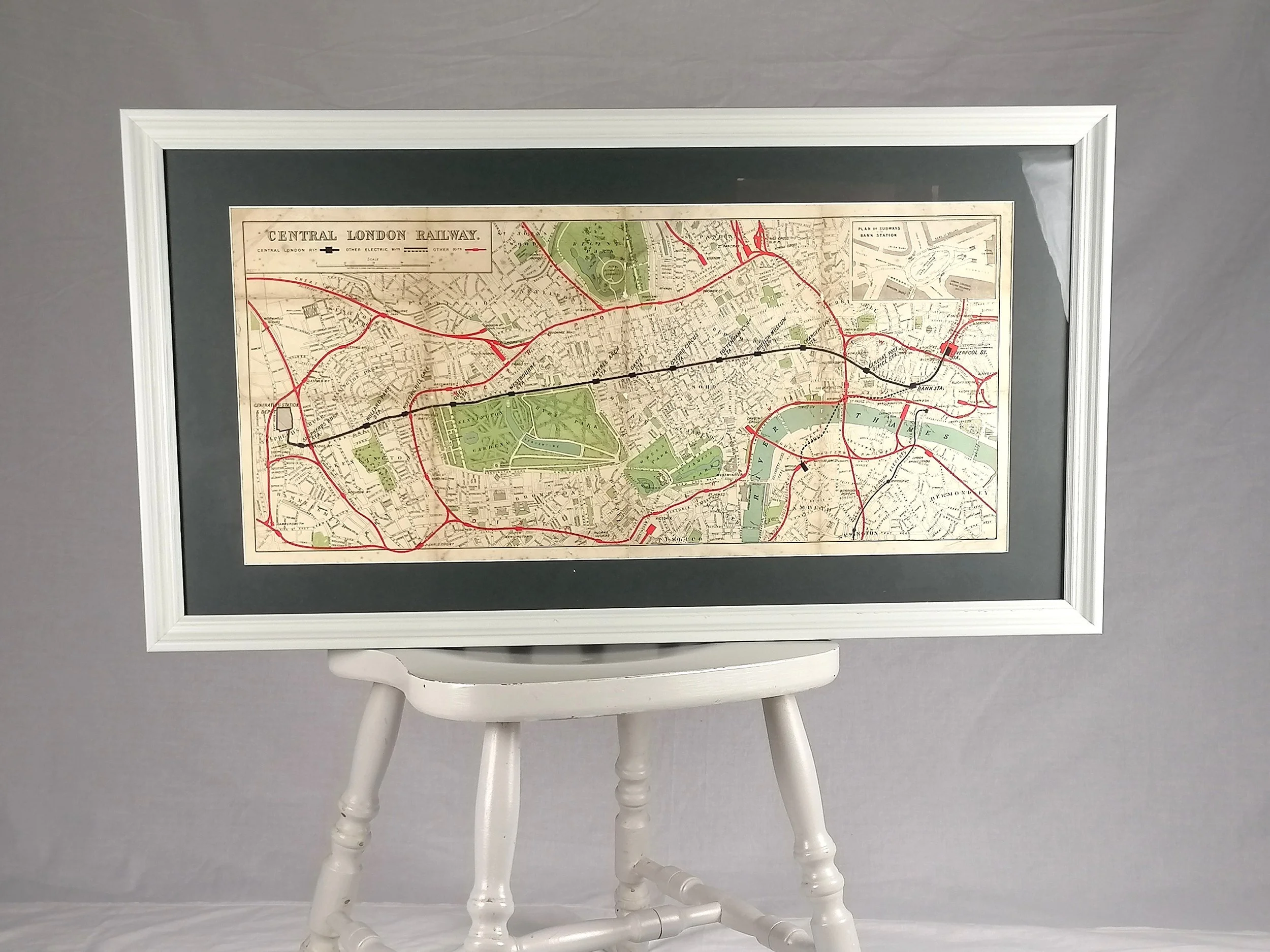 Image 3 of 10
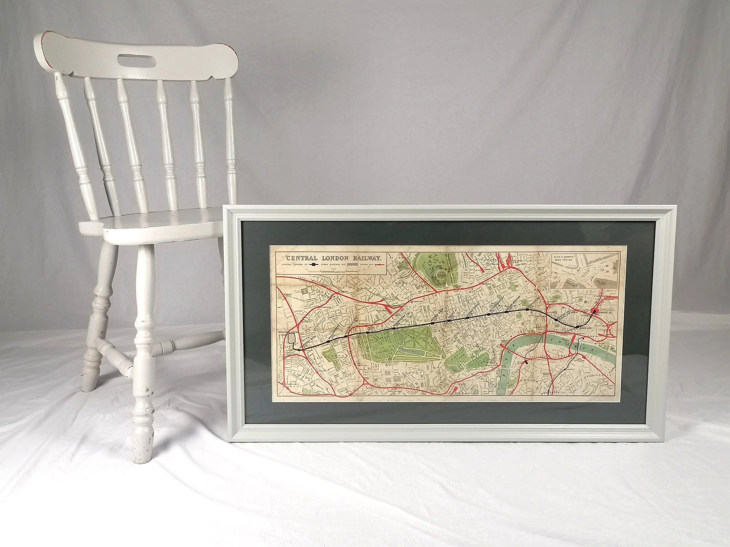 Image 4 of 10
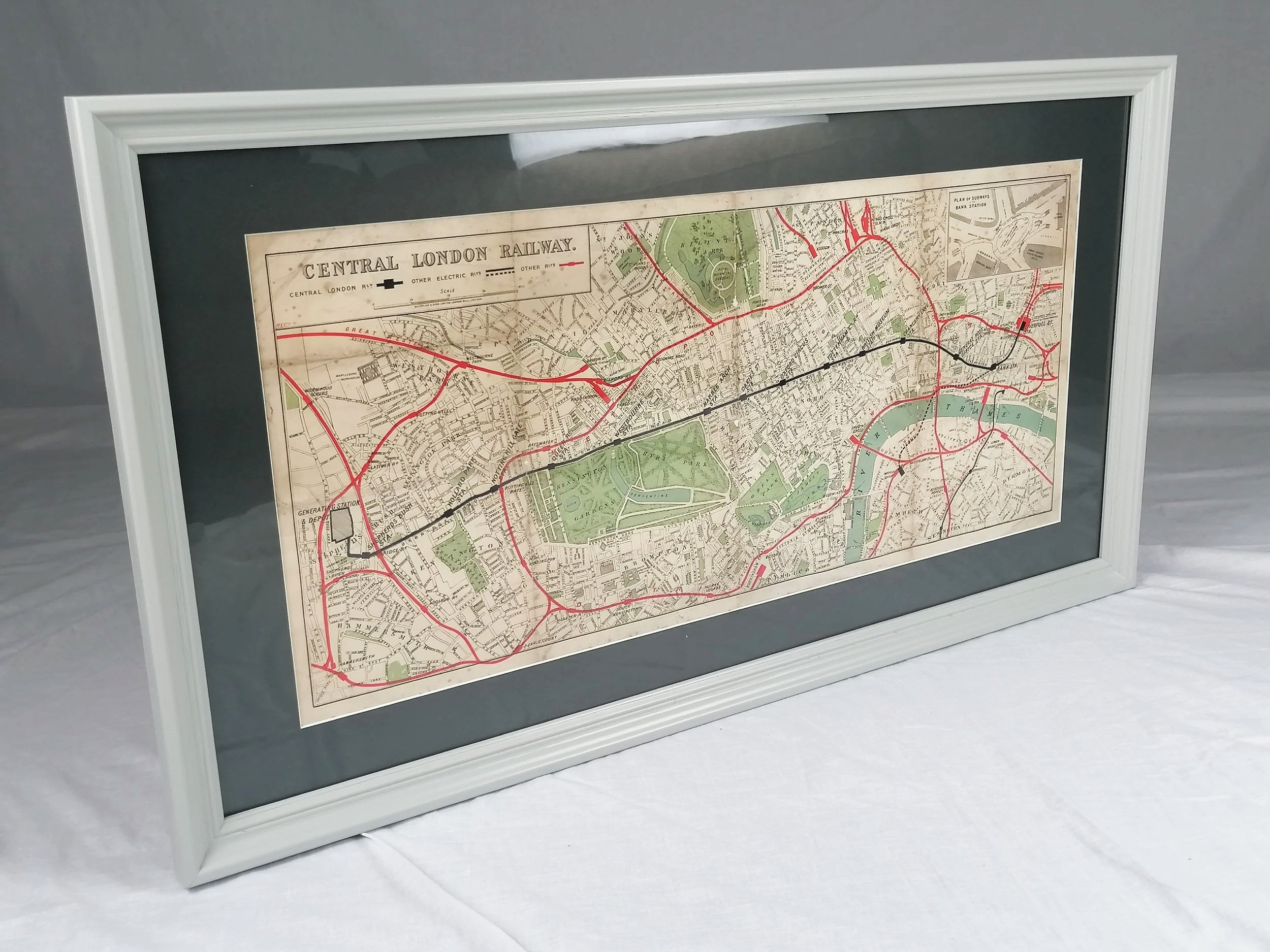 Image 5 of 10
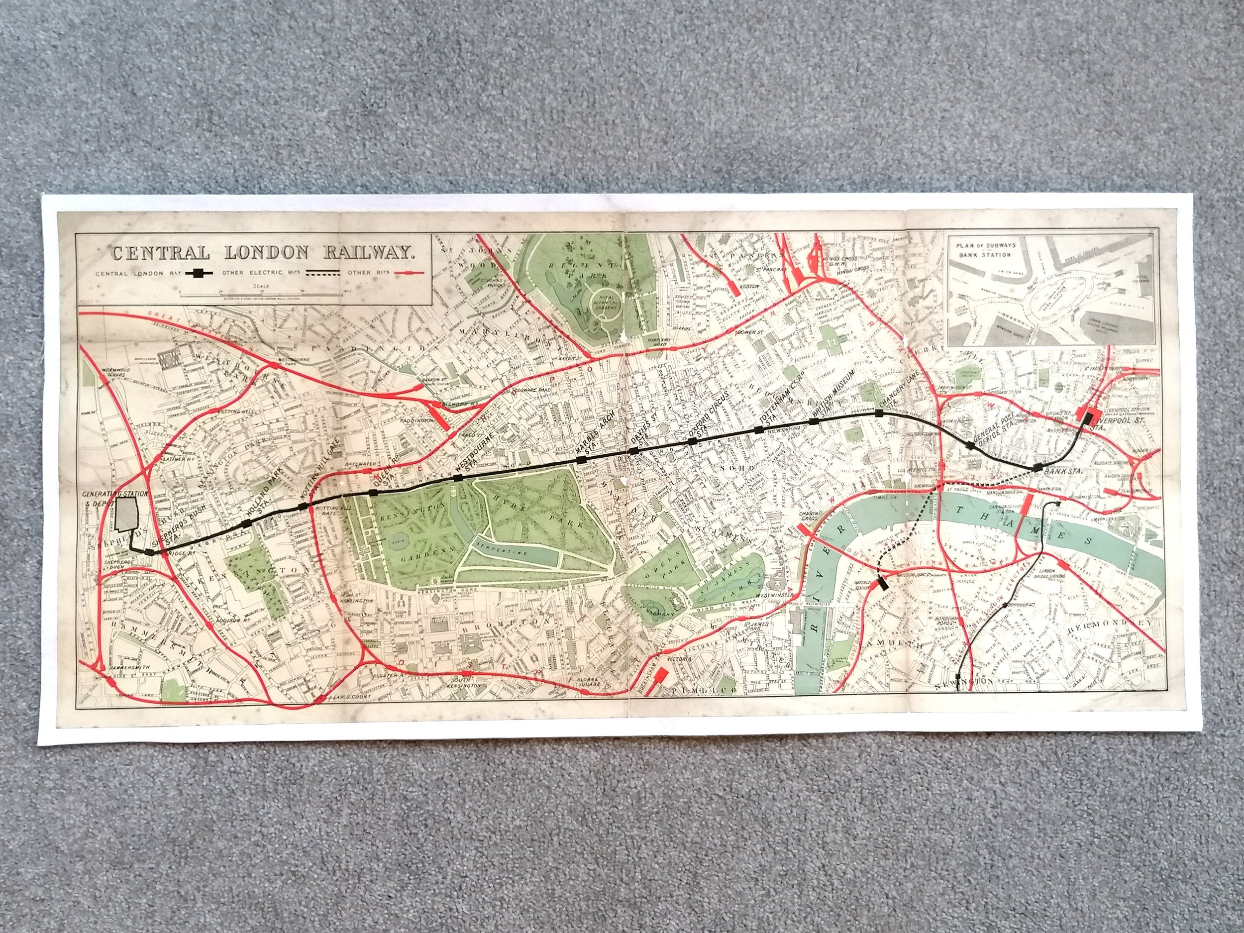 Image 6 of 10
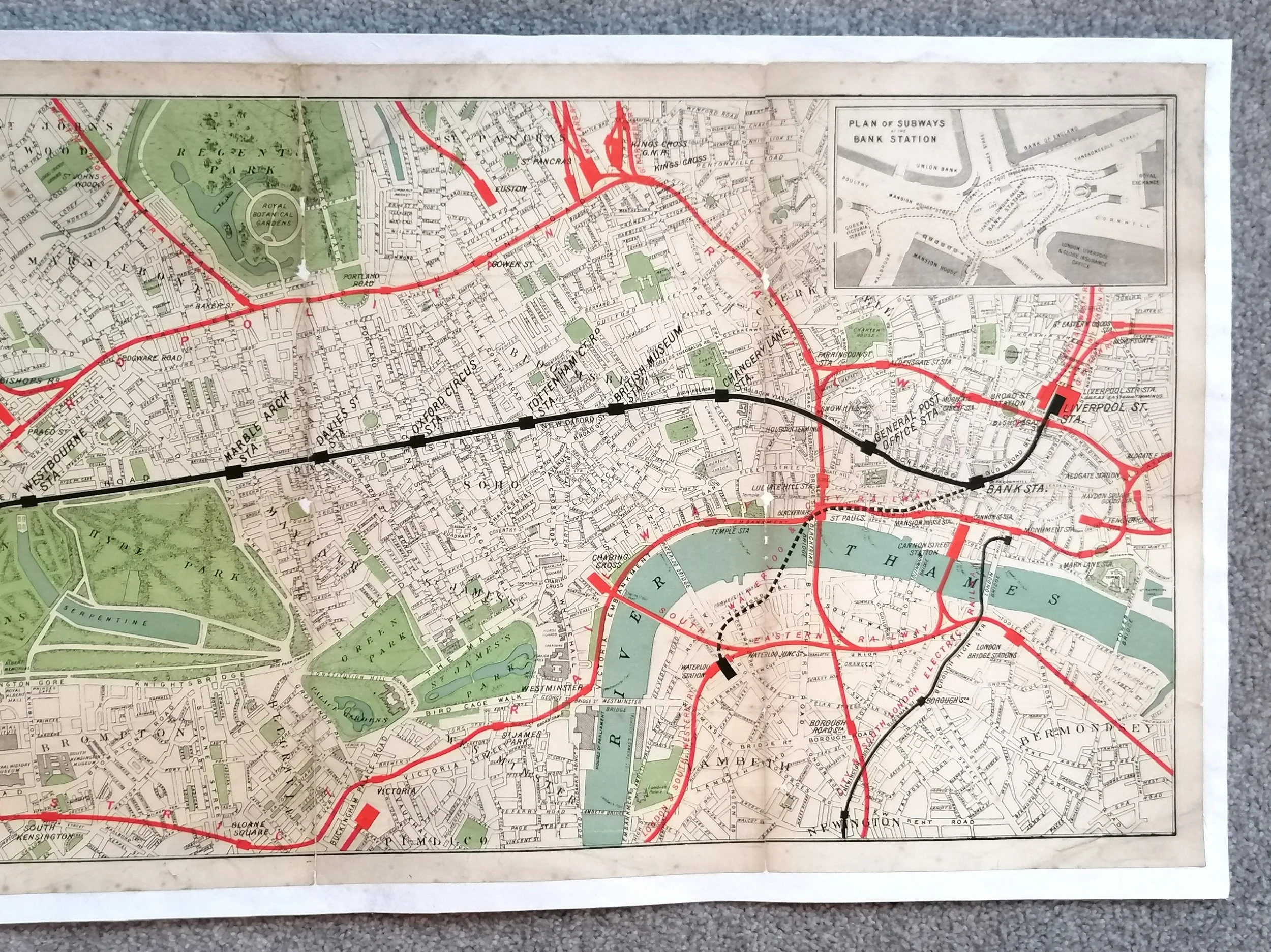 Image 7 of 10
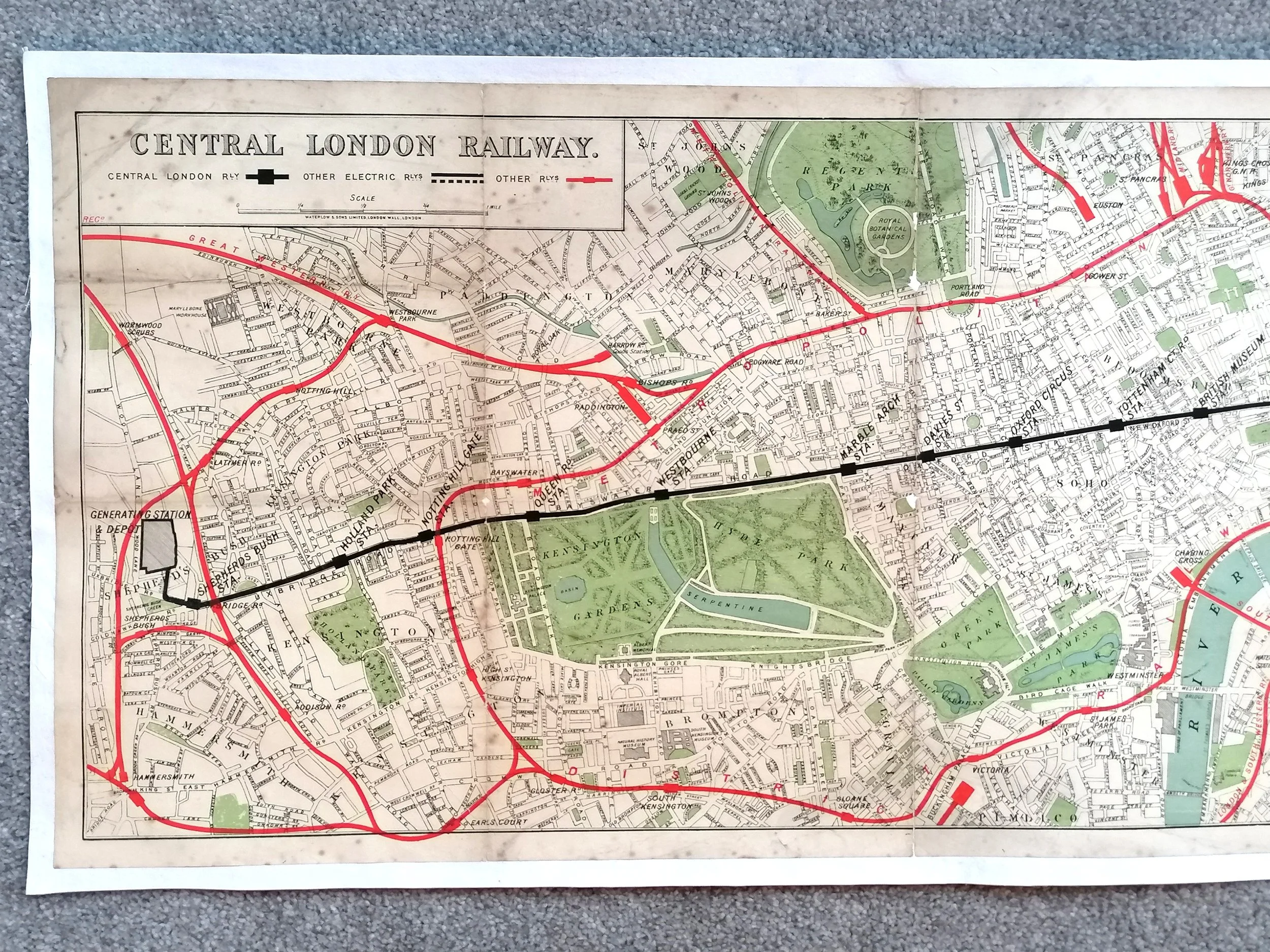 Image 8 of 10
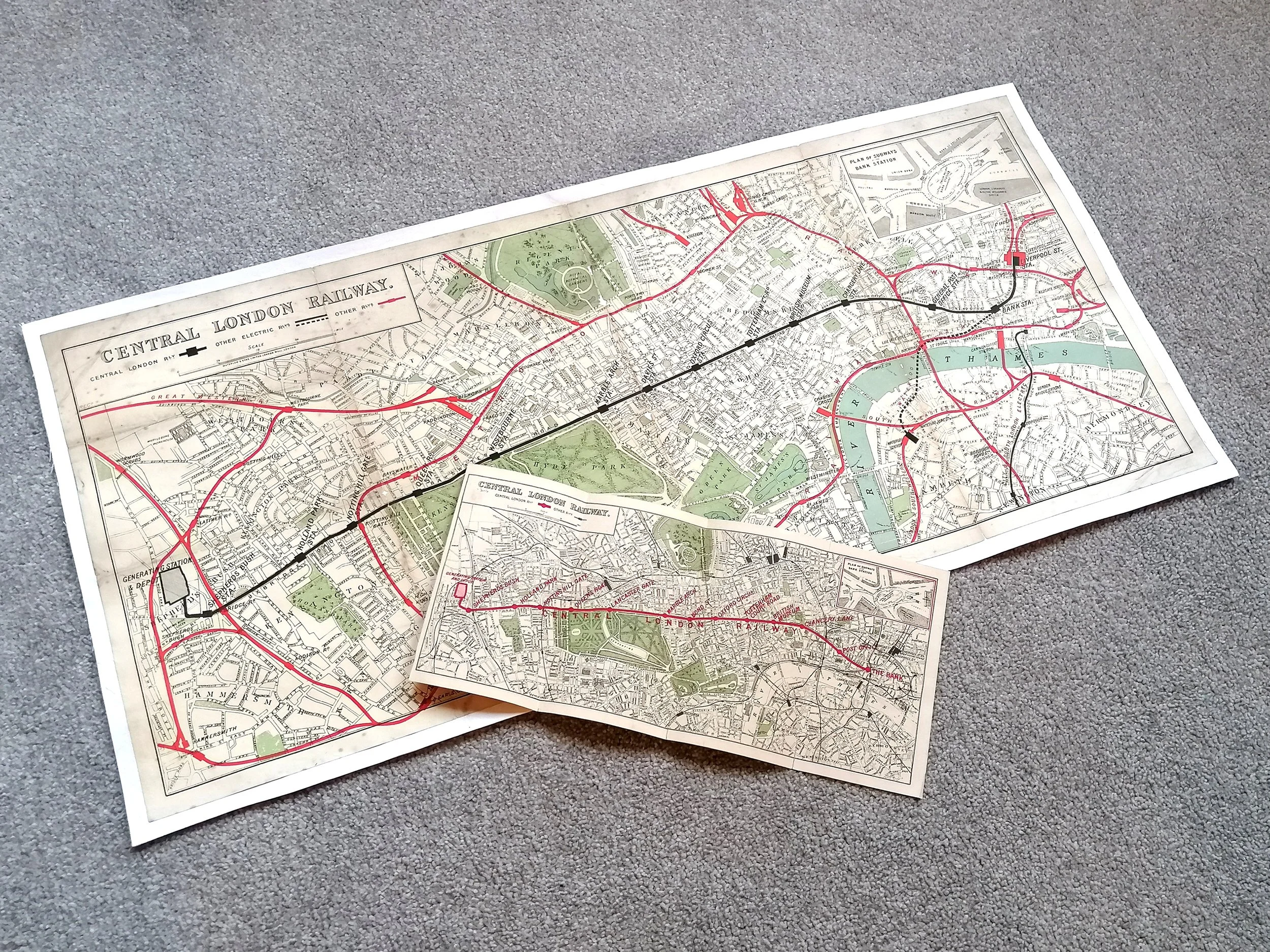 Image 9 of 10
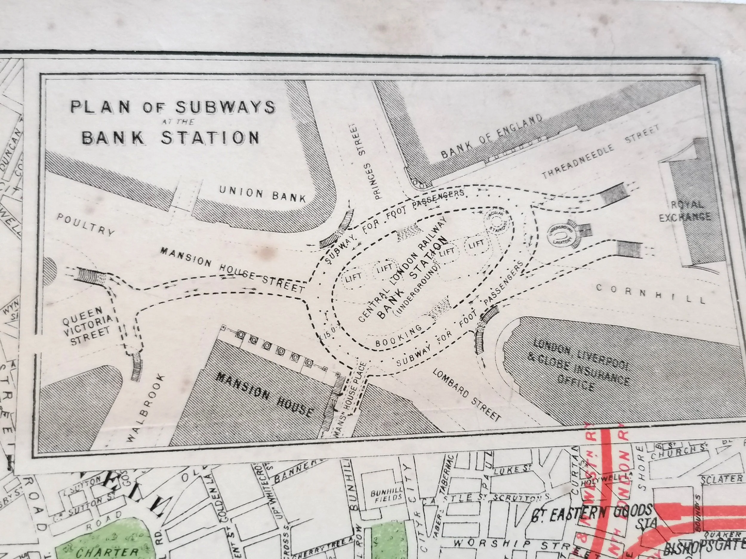 Image 10 of 10