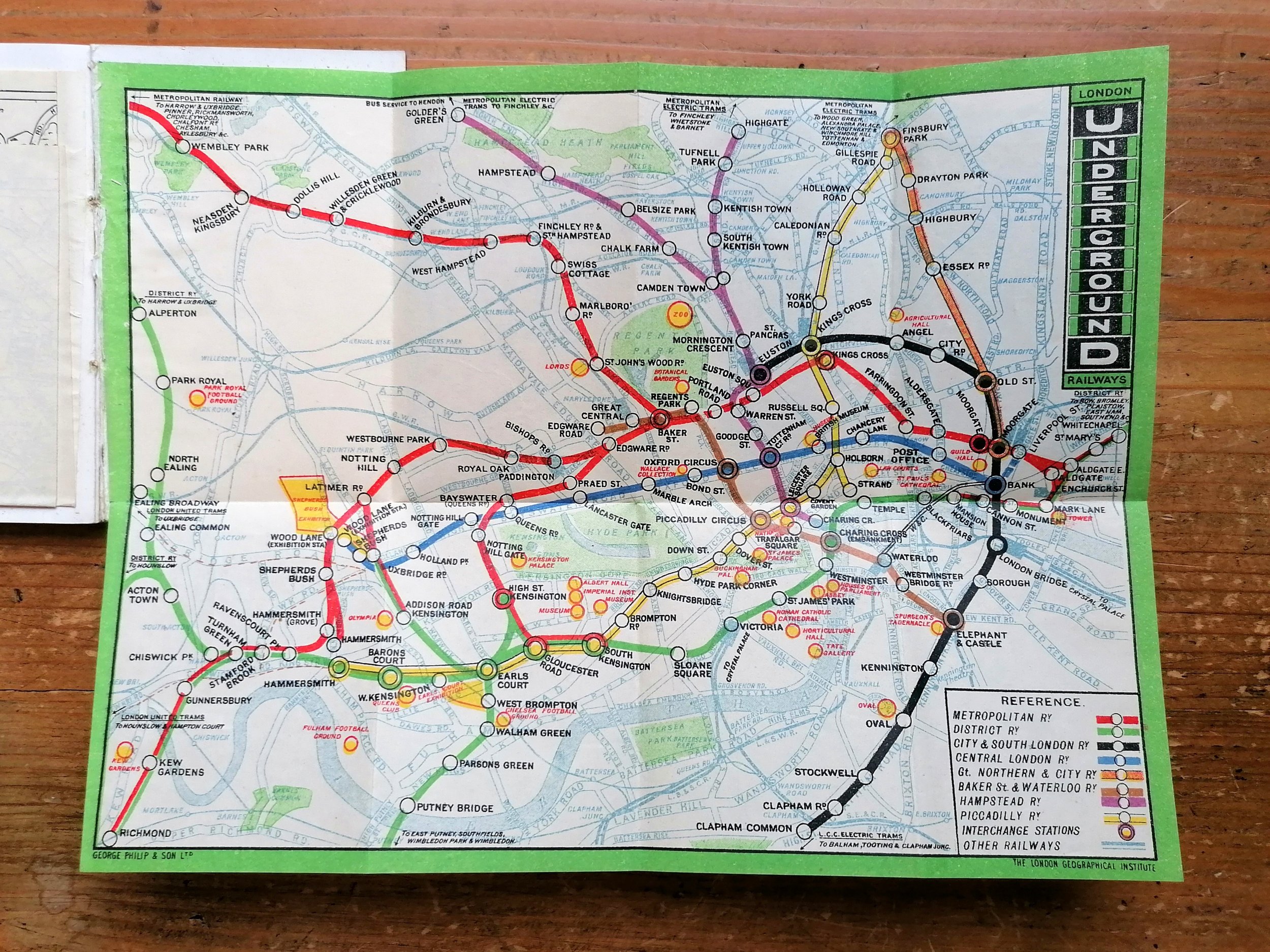
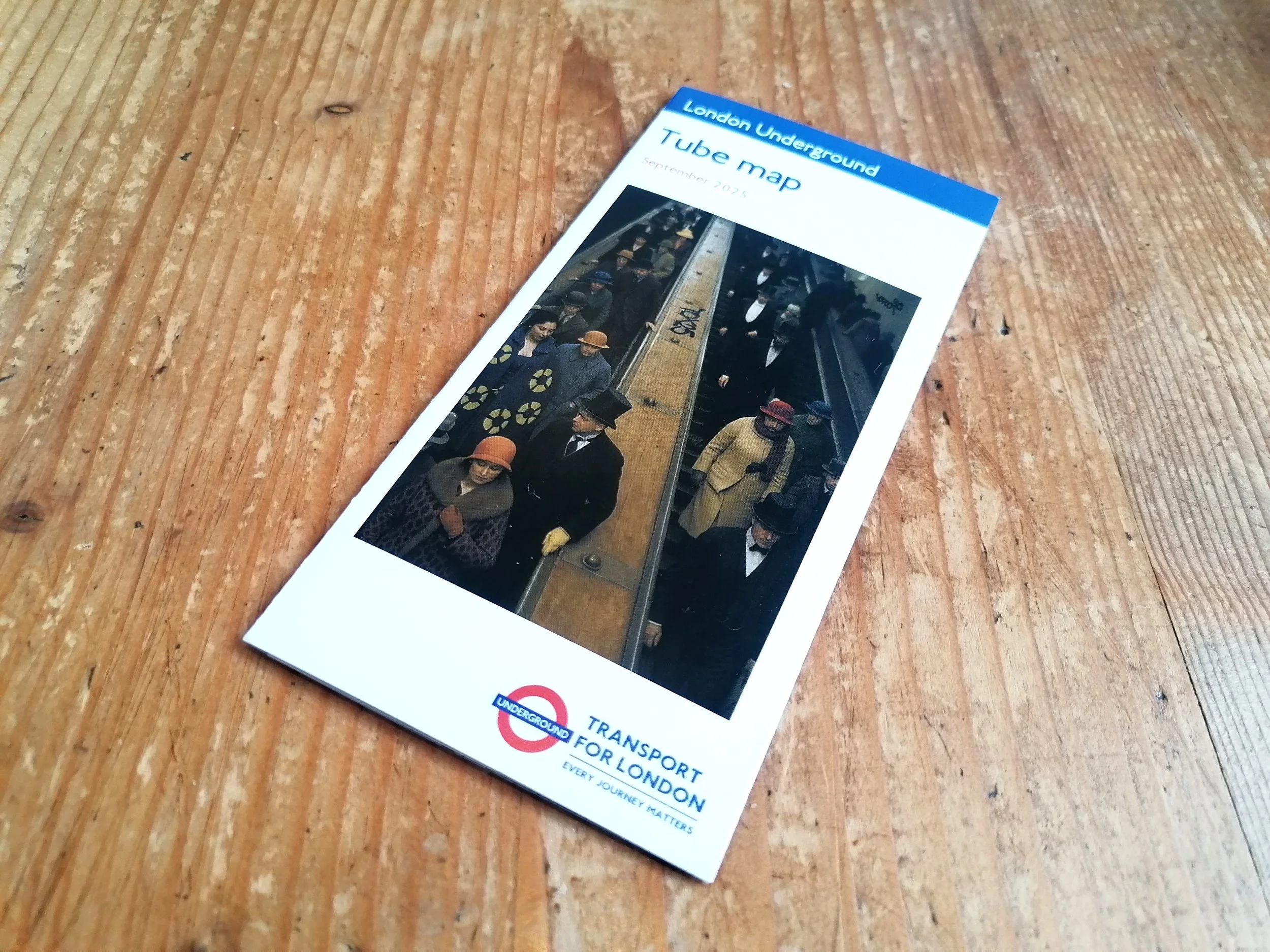
A Guide To The New Underground Through Service - Sth Harrow and The West End
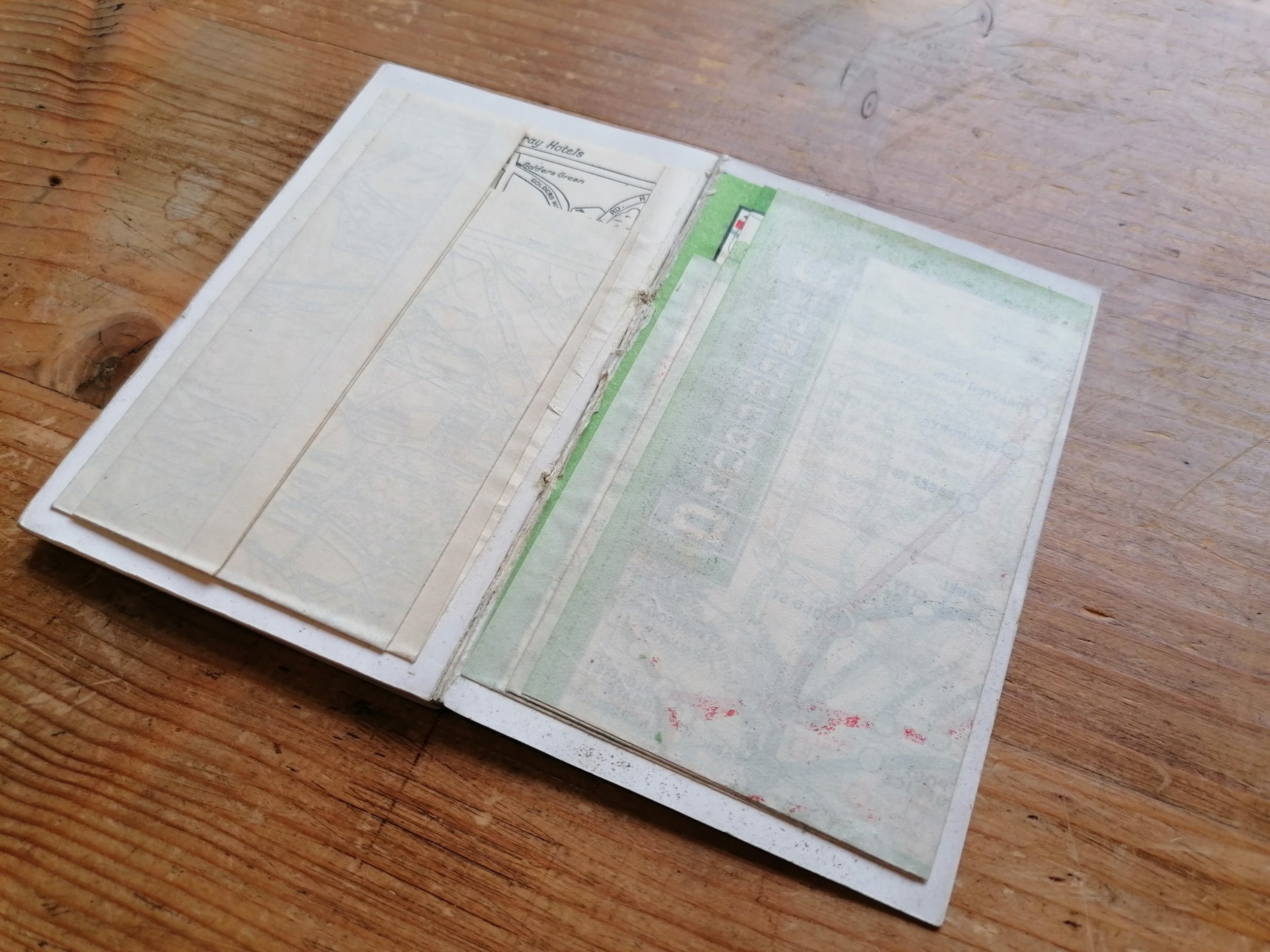
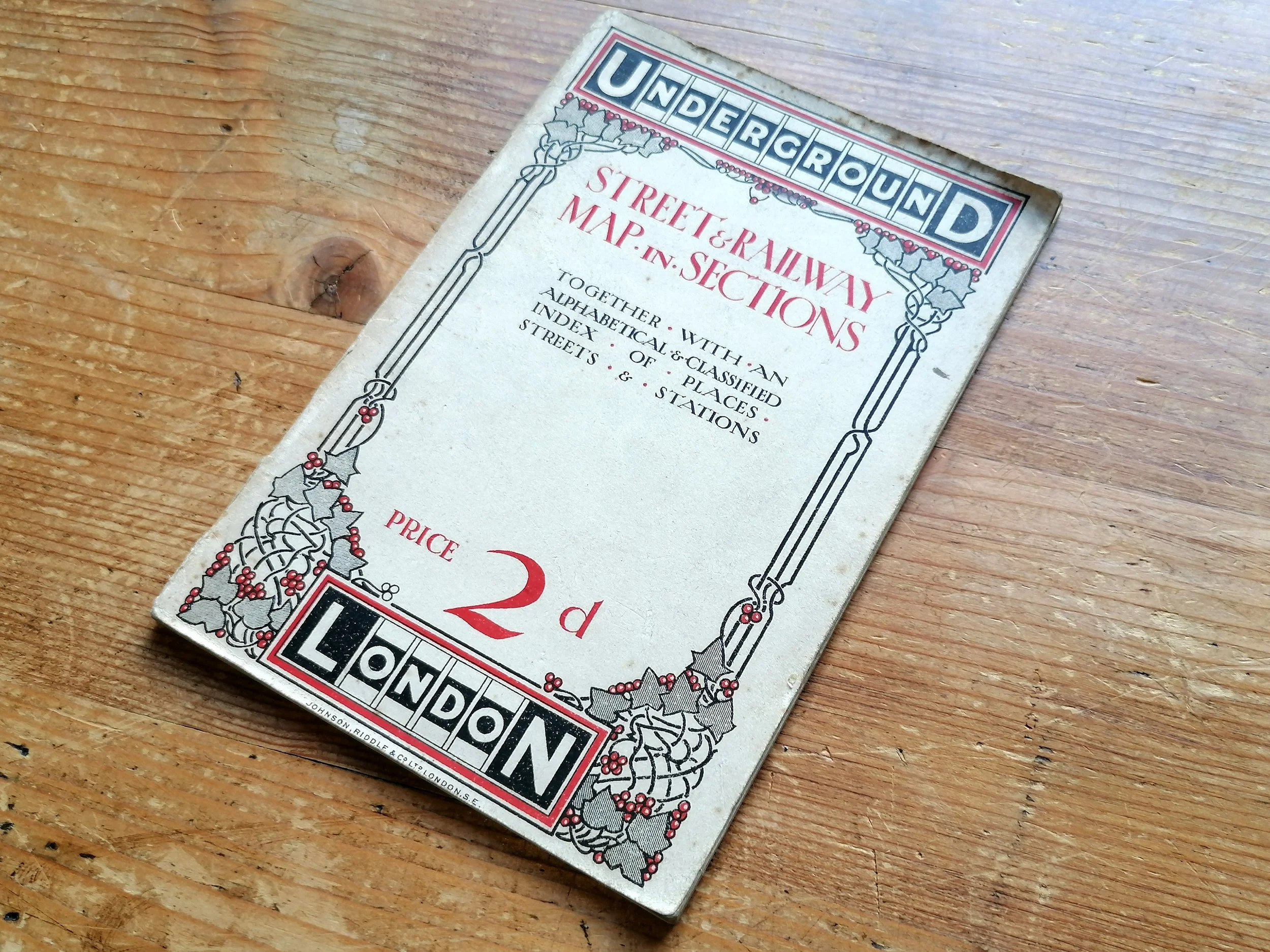
Designed by Fred Stingemore. Printed by Waterlow & Sons for London Underground. Colour lithograph. Map and information on verso. Folded and presented in card covers. Dated July 1932. Print Code 1058 15,000 19-5-32. Condition: Excellent. Lightly used condition.
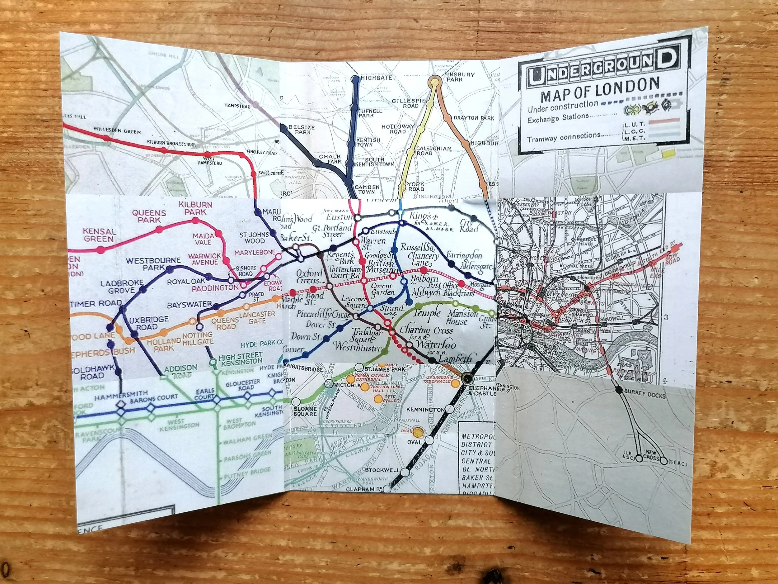
This special issue shows an overprint highlighting the new entrance to Hyde Park Corner with Down Street crossed out following its closure.
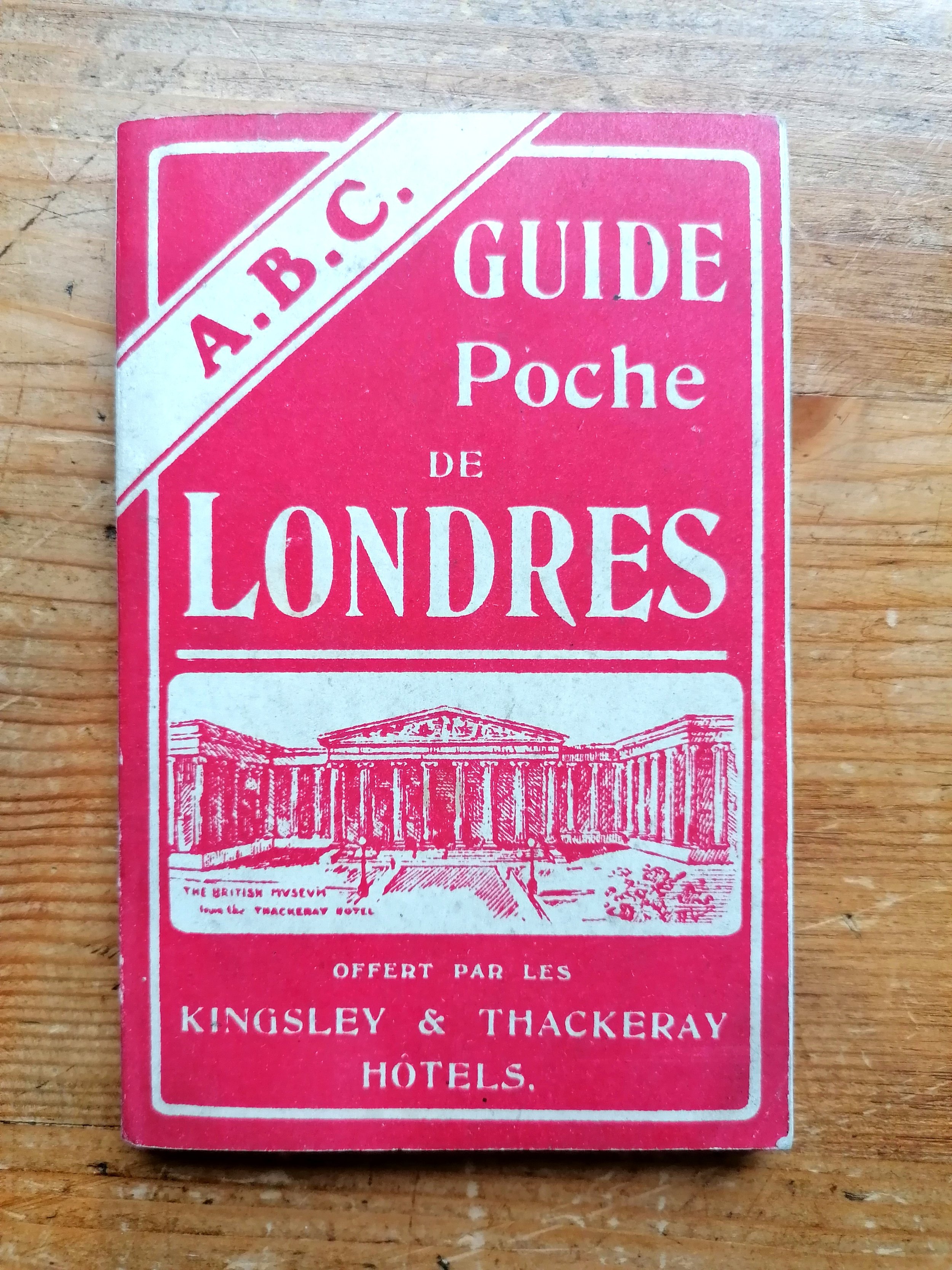
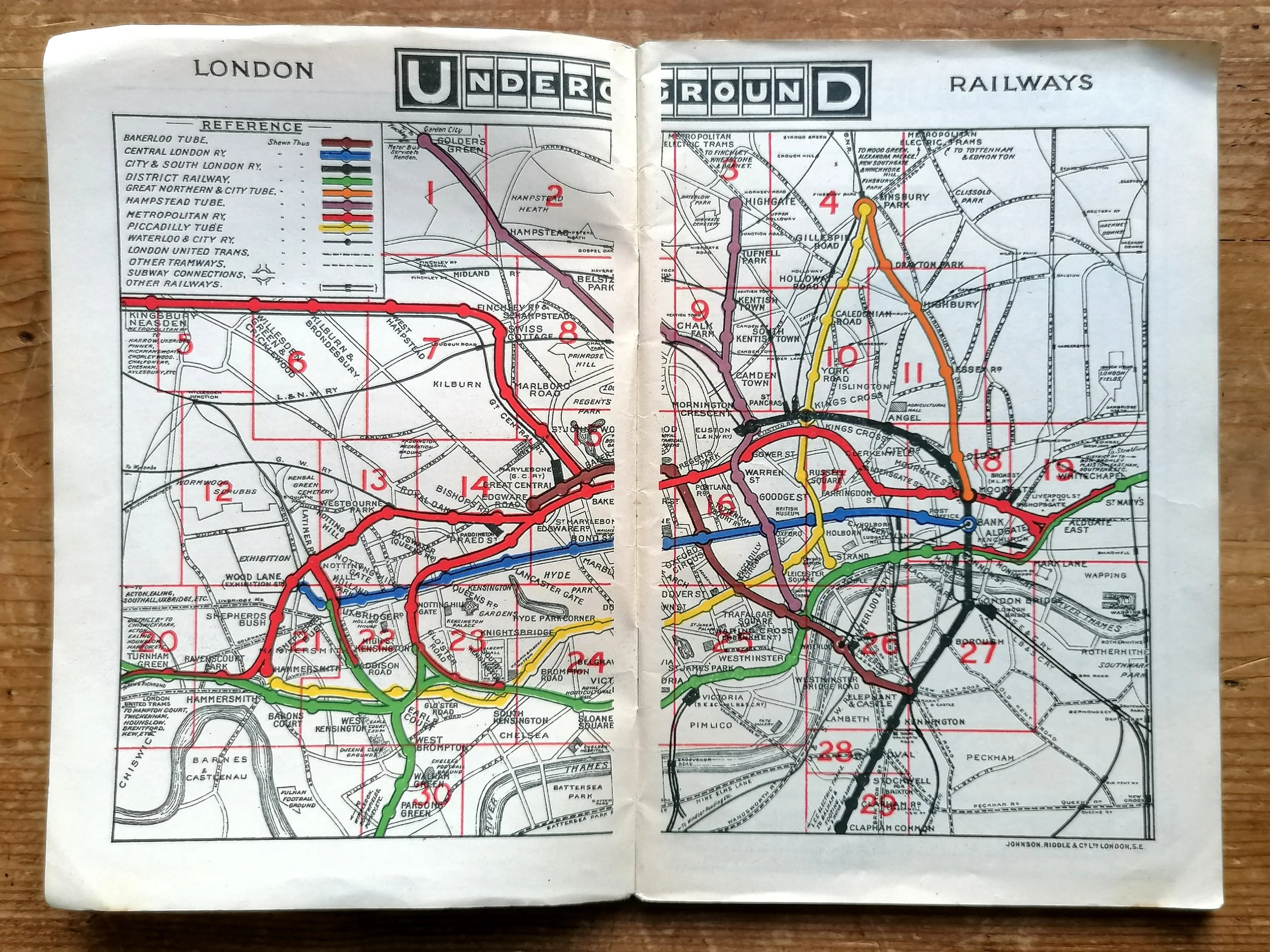
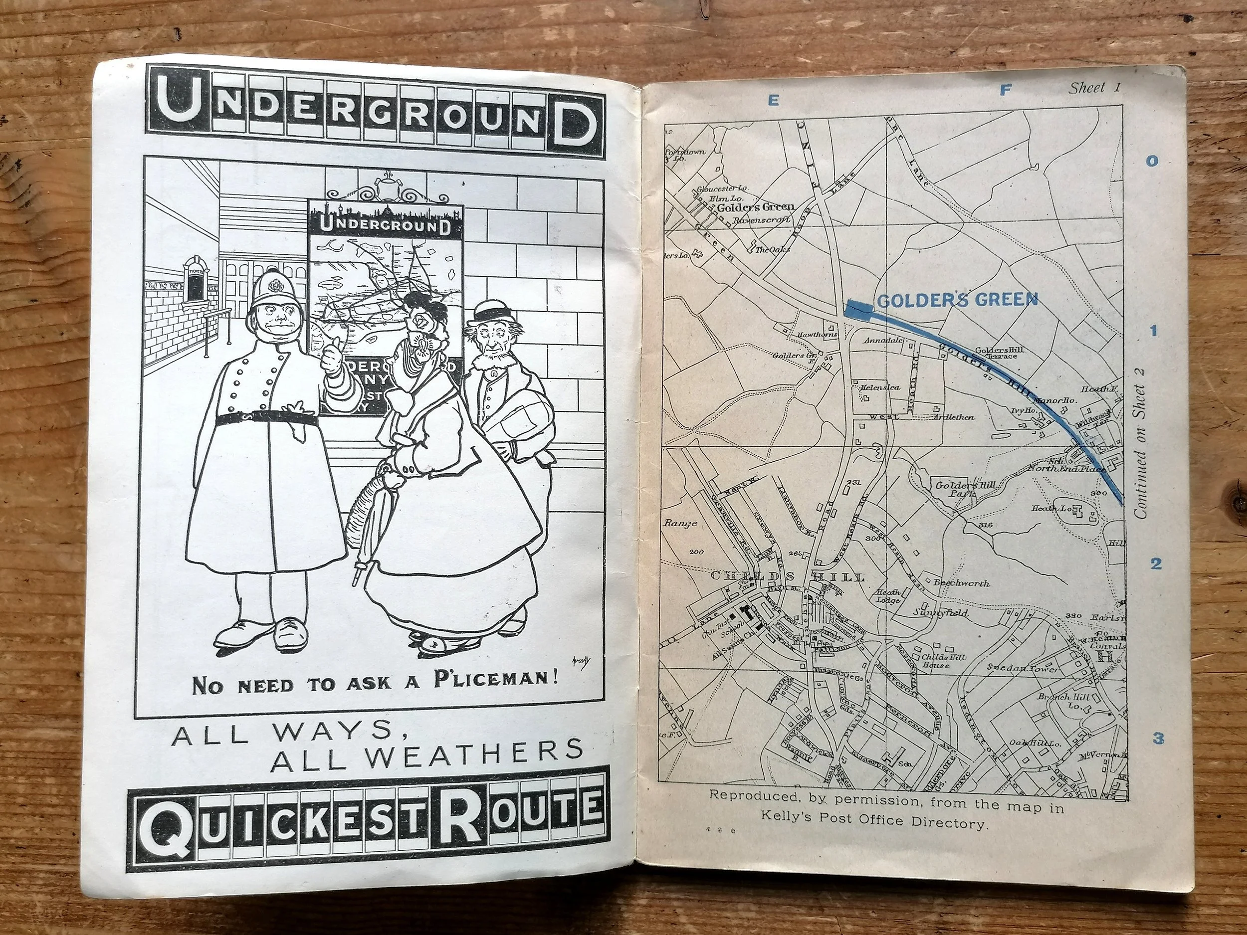
This map design and format was issued for numerous purposes between 1928-1932 and designed by Fred Stingemore (his initials can be seen bottom right on the map). Whilst the map itself changed very little between issues, the rear information changed depending on the purpose - in this instance the guide promotes the newly opened eastern extension of the Piccadilly Line, connecting Harrow to the West End.
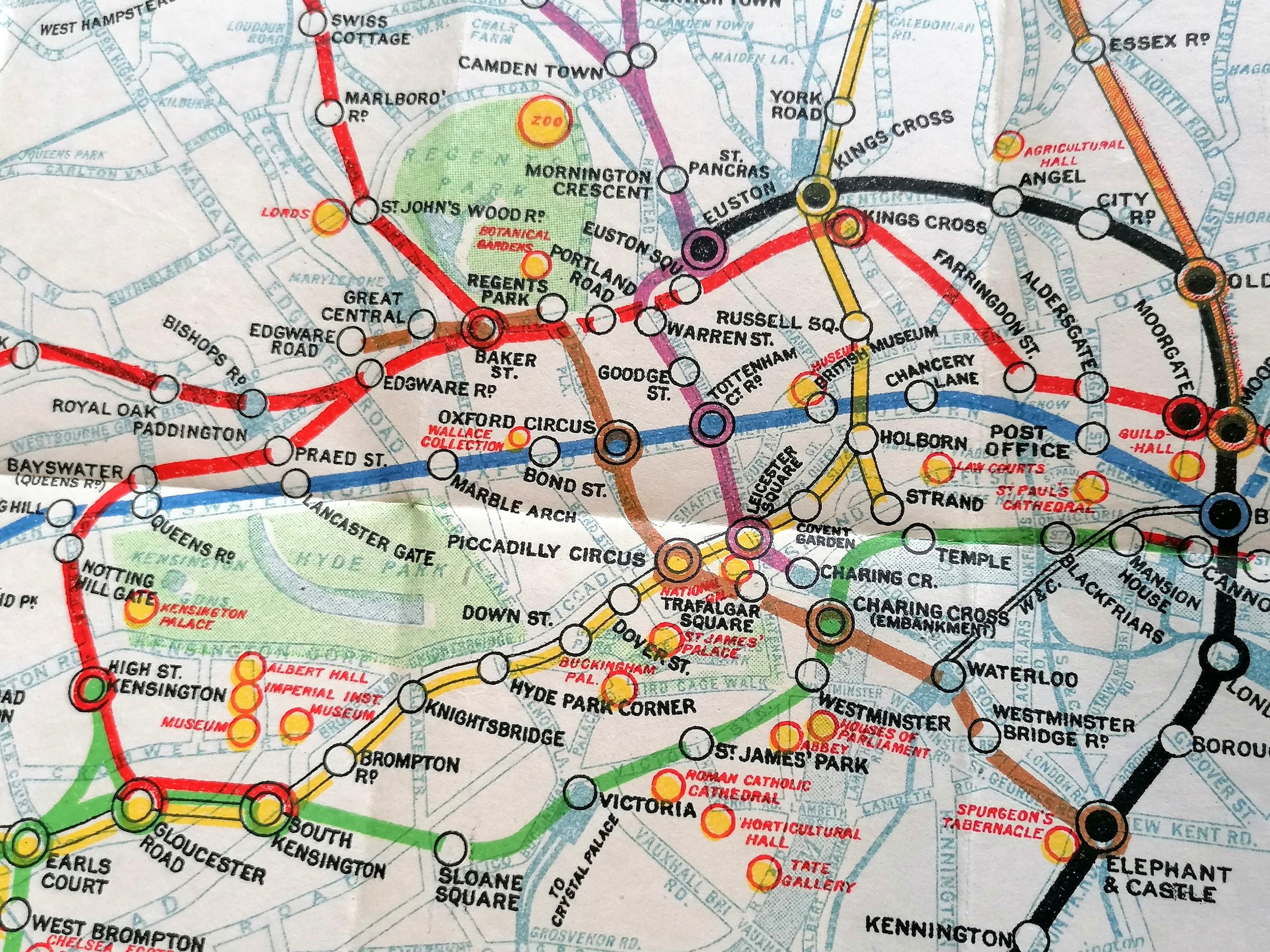
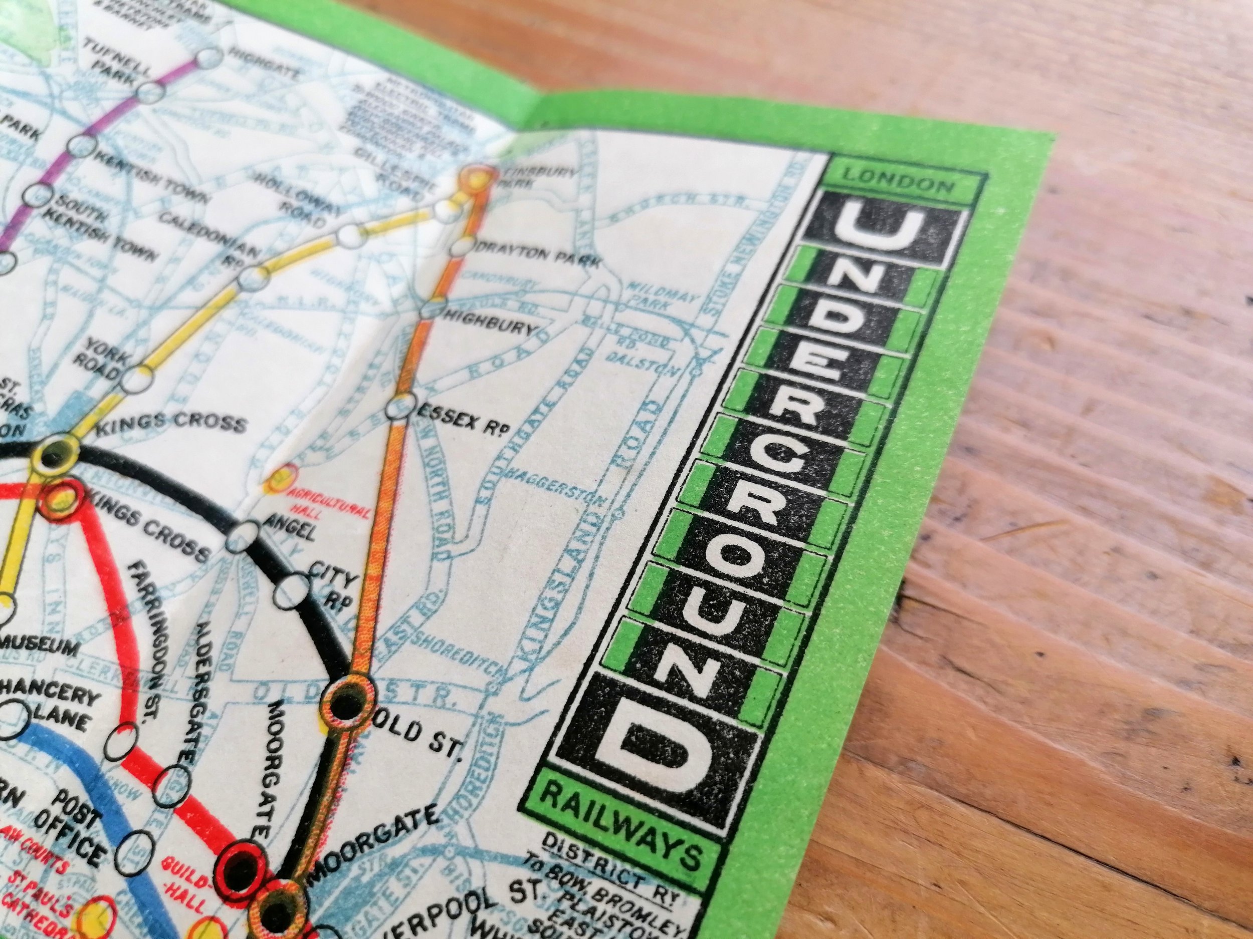
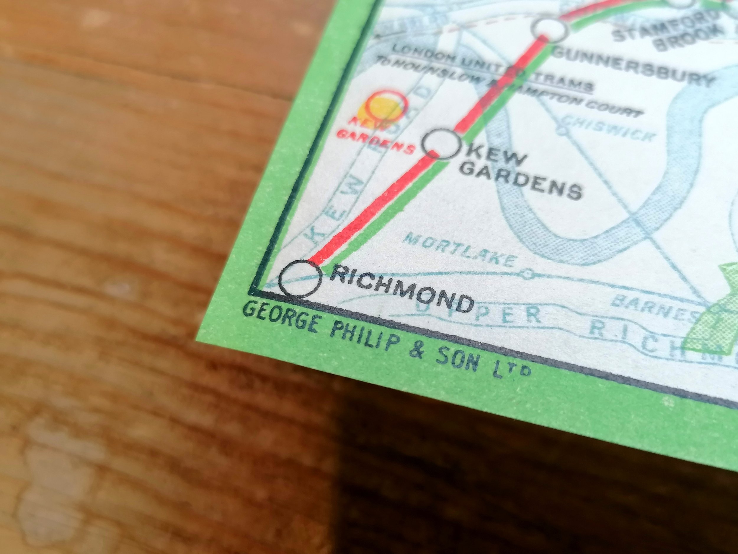
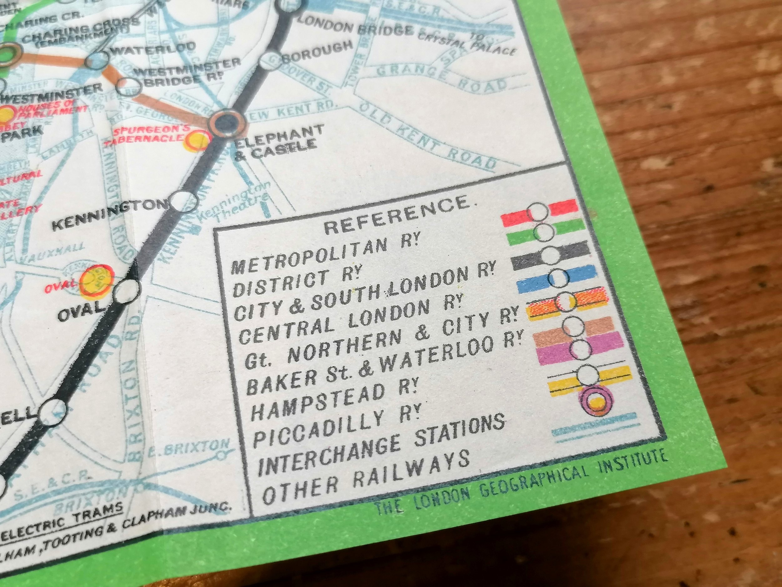
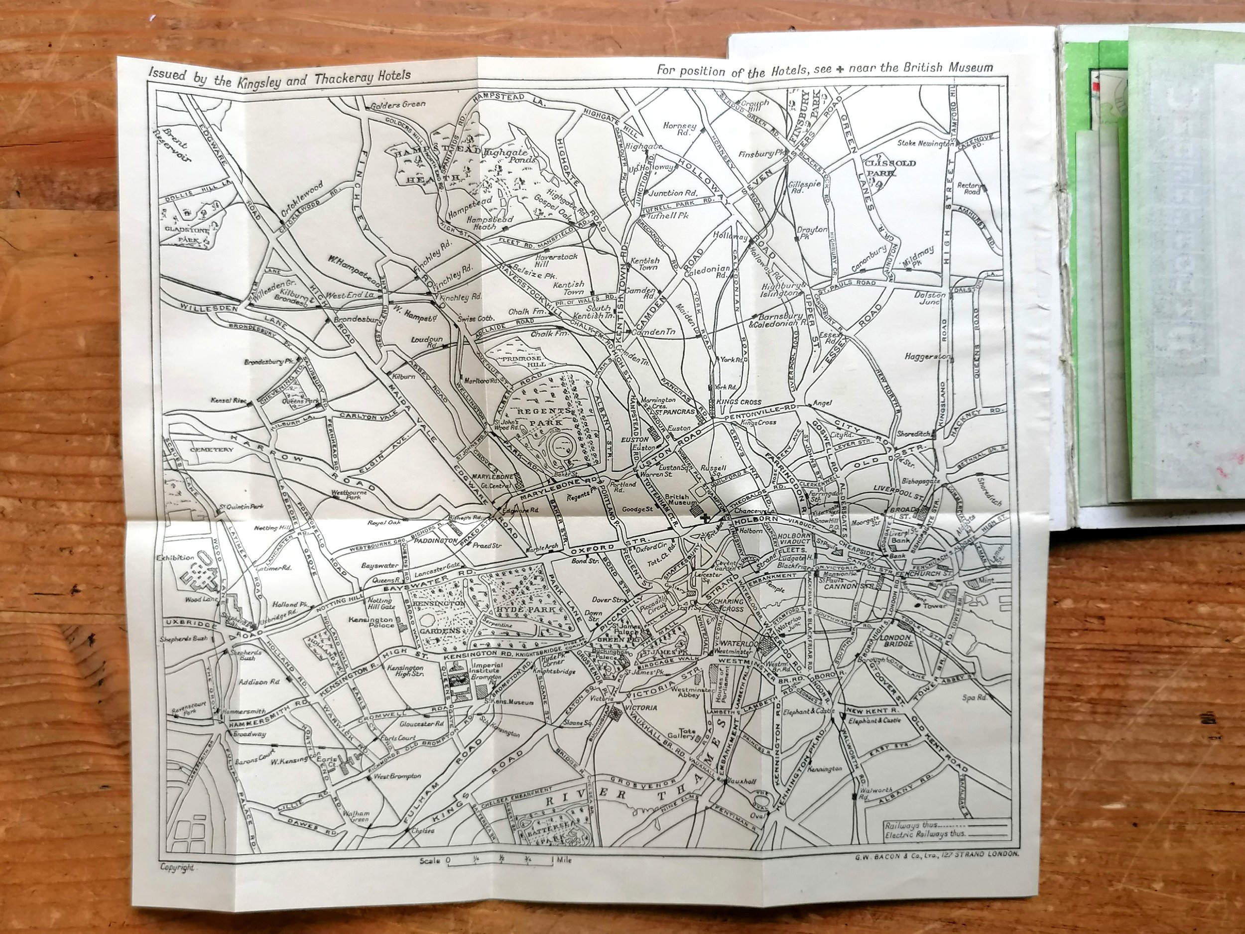
Underground lines are shown with red lines and printed upon a detailed street map of central London. The decorative border is reminiscent of those by Charles ‘Shep’ Shepherd used for pocket and station maps 1946-1947. Places of Interests are numbered on the map and listed on the back cover.
Free UK delivery. For non-UK delivery please request quotation.
A Guide To The New Underground Through Service - Sth Harrow and The West End
Designed by Fred Stingemore. Printed by Waterlow & Sons for London Underground. Colour lithograph. Map and information on verso. Folded and presented in card covers. Dated July 1932. Print Code 1058 15,000 19-5-32. Condition: Excellent. Lightly used condition.
This special issue shows an overprint highlighting the new entrance to Hyde Park Corner with Down Street crossed out following its closure.
This map design and format was issued for numerous purposes between 1928-1932 and designed by Fred Stingemore (his initials can be seen bottom right on the map). Whilst the map itself changed very little between issues, the rear information changed depending on the purpose - in this instance the guide promotes the newly opened eastern extension of the Piccadilly Line, connecting Harrow to the West End.
Underground lines are shown with red lines and printed upon a detailed street map of central London. The decorative border is reminiscent of those by Charles ‘Shep’ Shepherd used for pocket and station maps 1946-1947. Places of Interests are numbered on the map and listed on the back cover.
Free UK delivery. For non-UK delivery please request quotation.

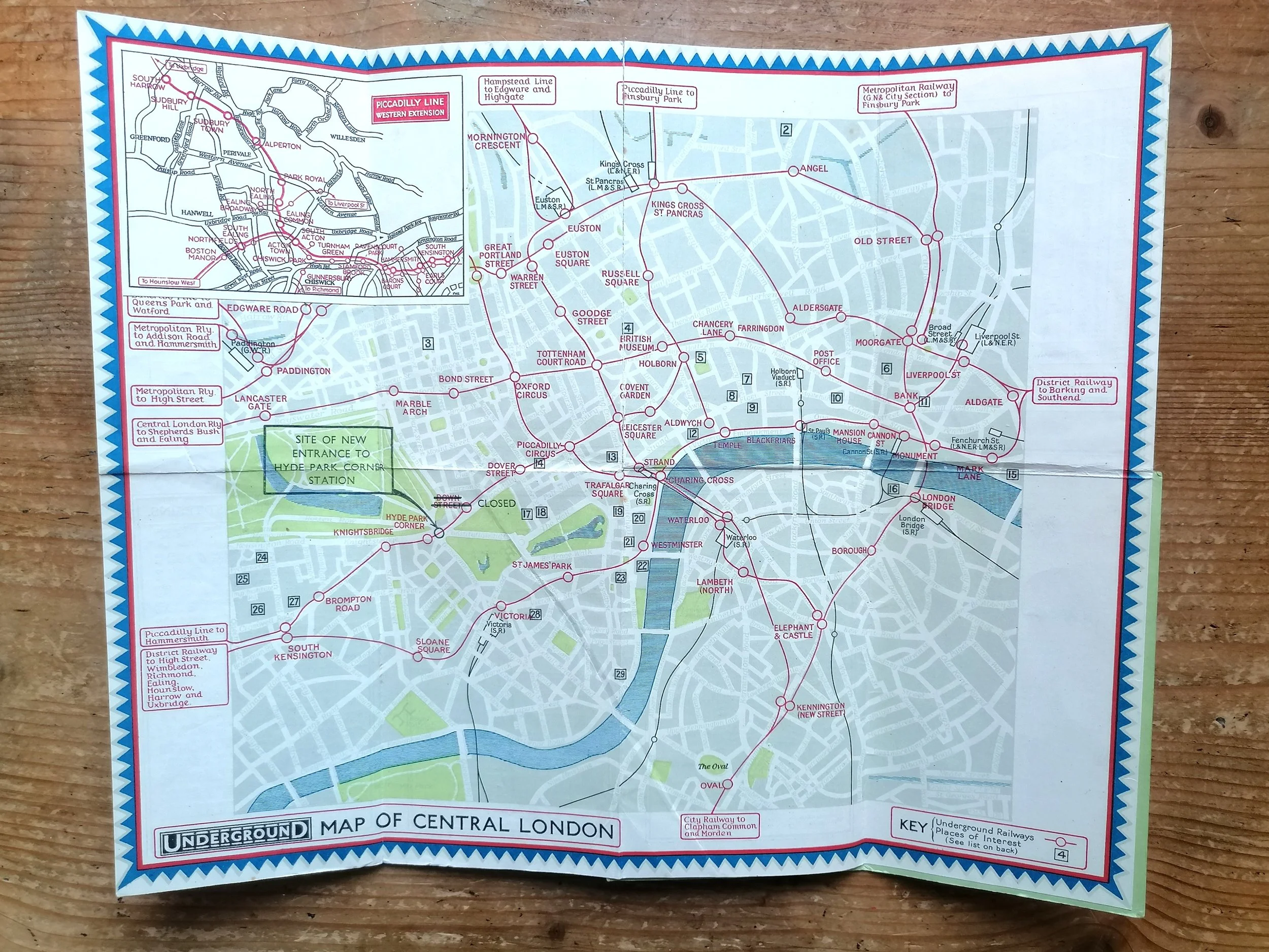 Image 1 of 11
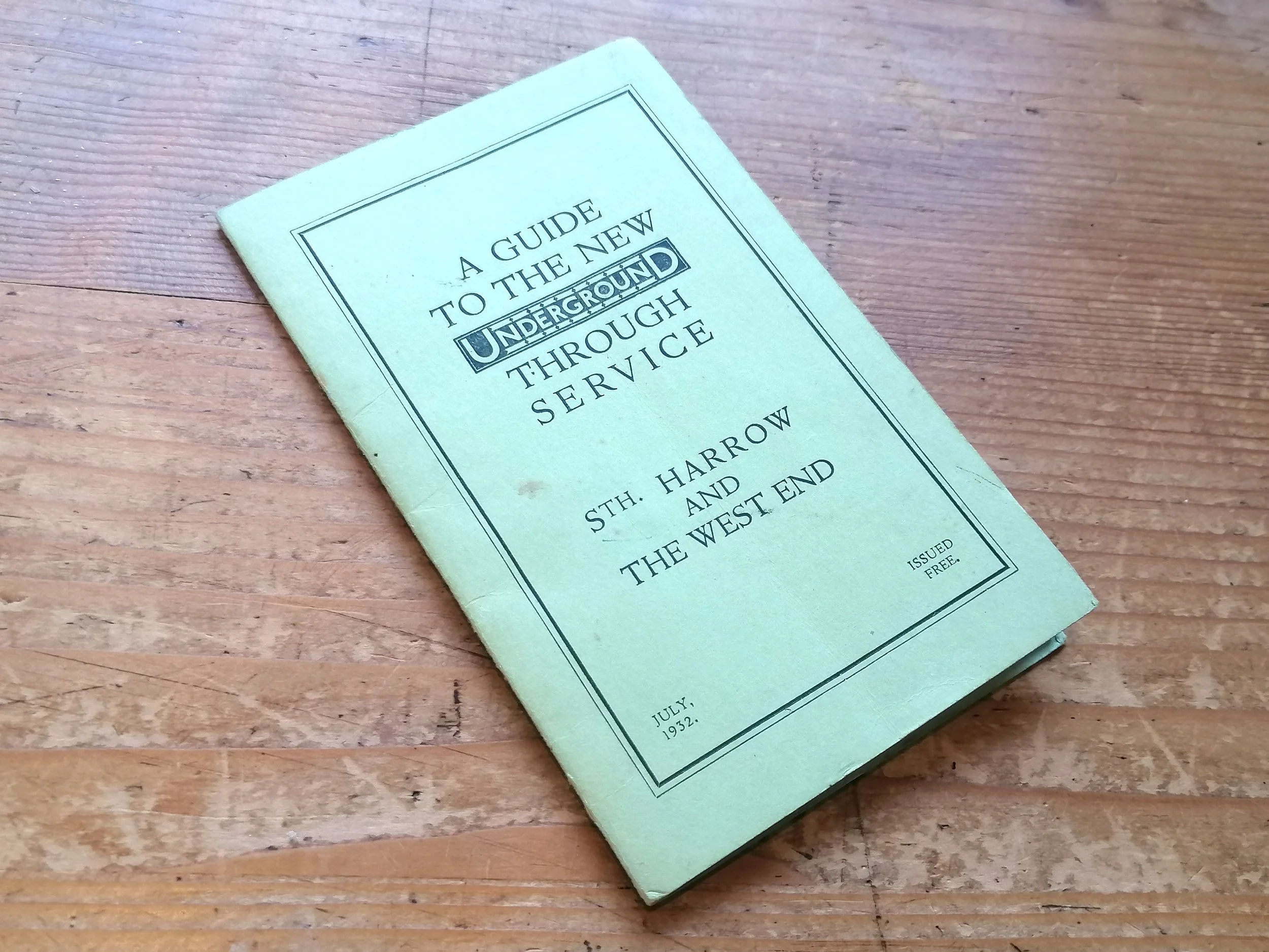 Image 2 of 11
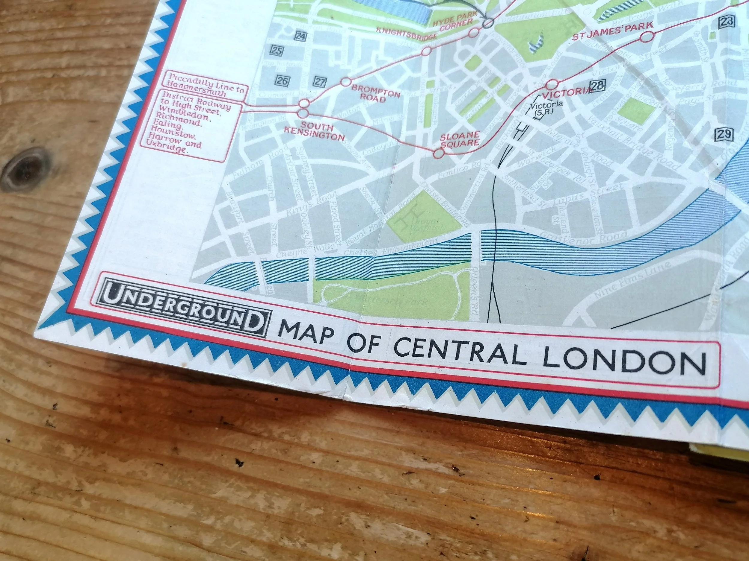 Image 3 of 11
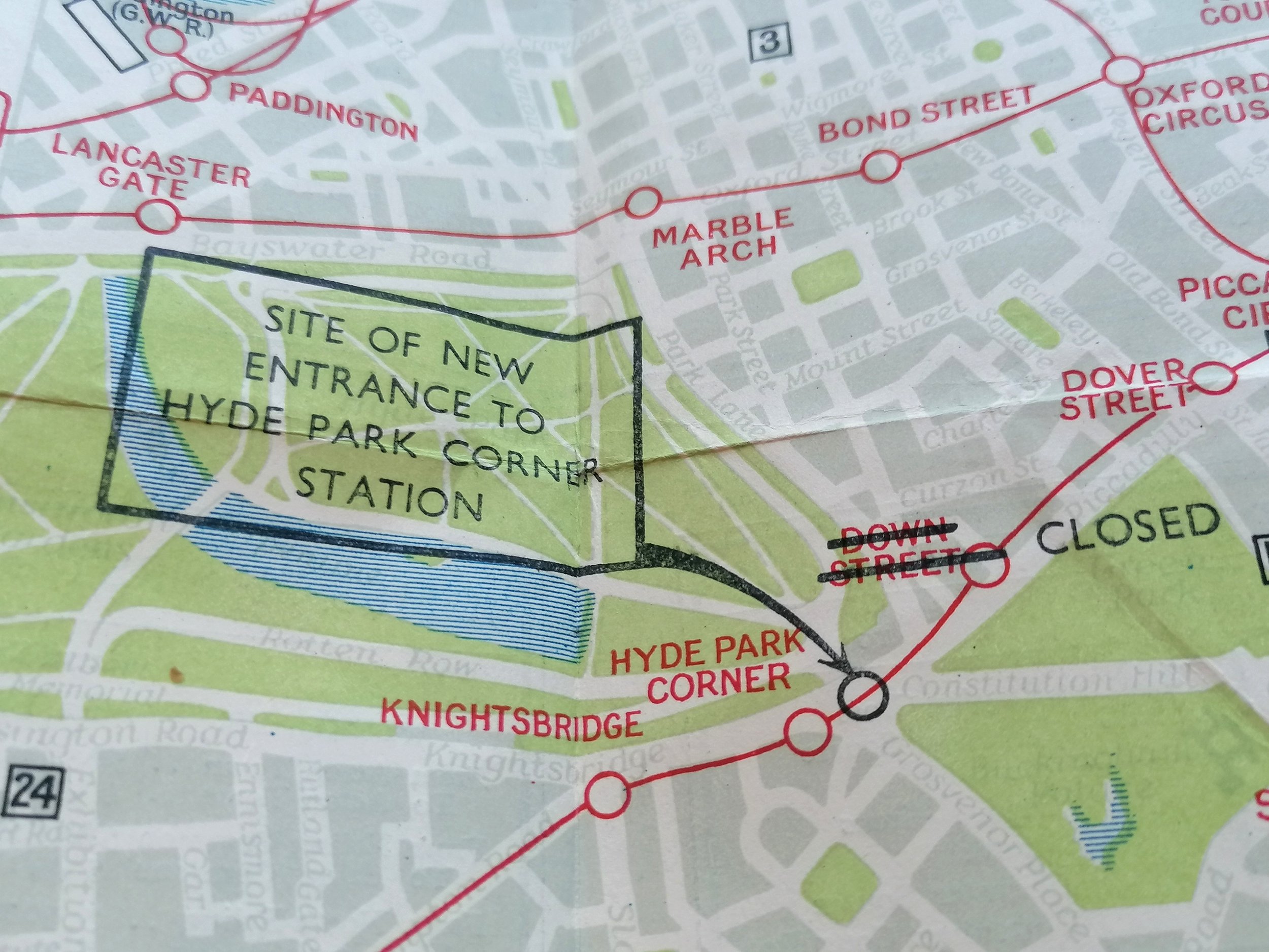 Image 4 of 11
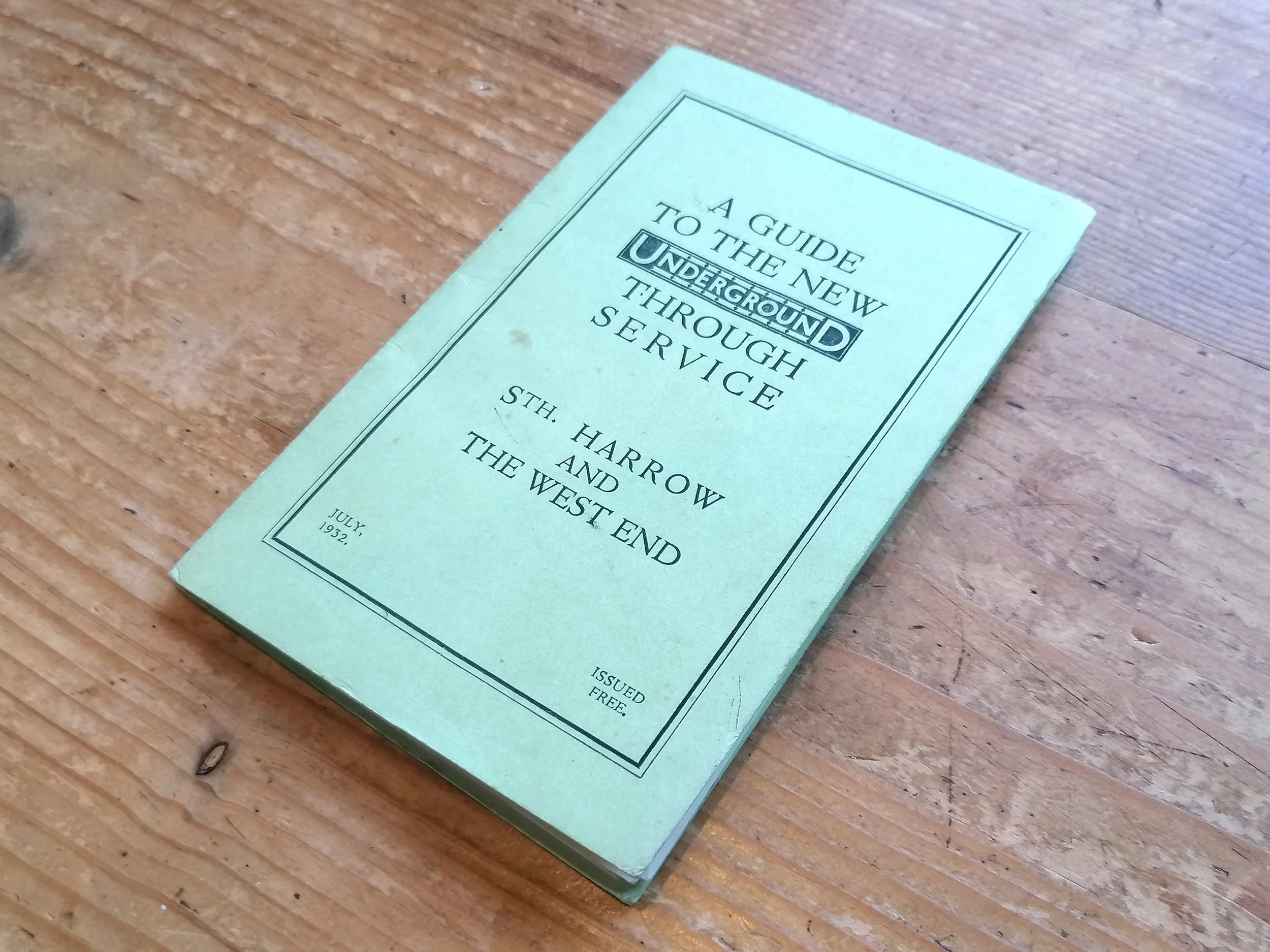 Image 5 of 11
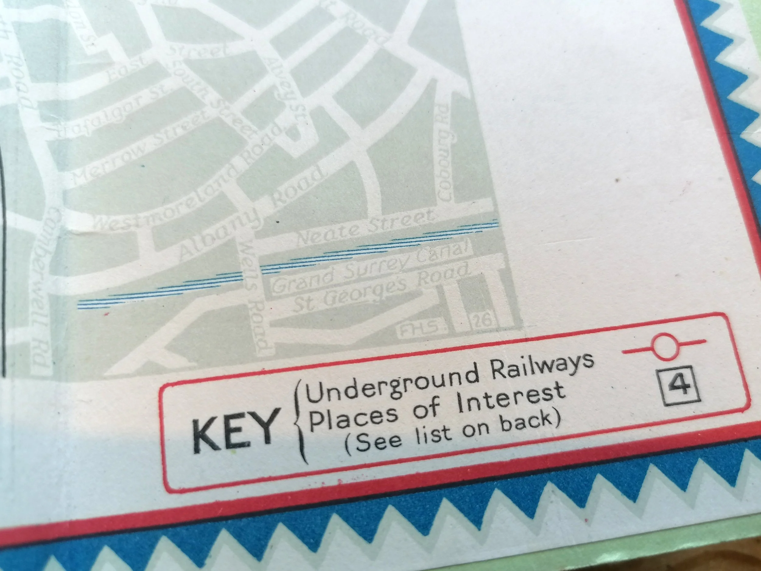 Image 6 of 11
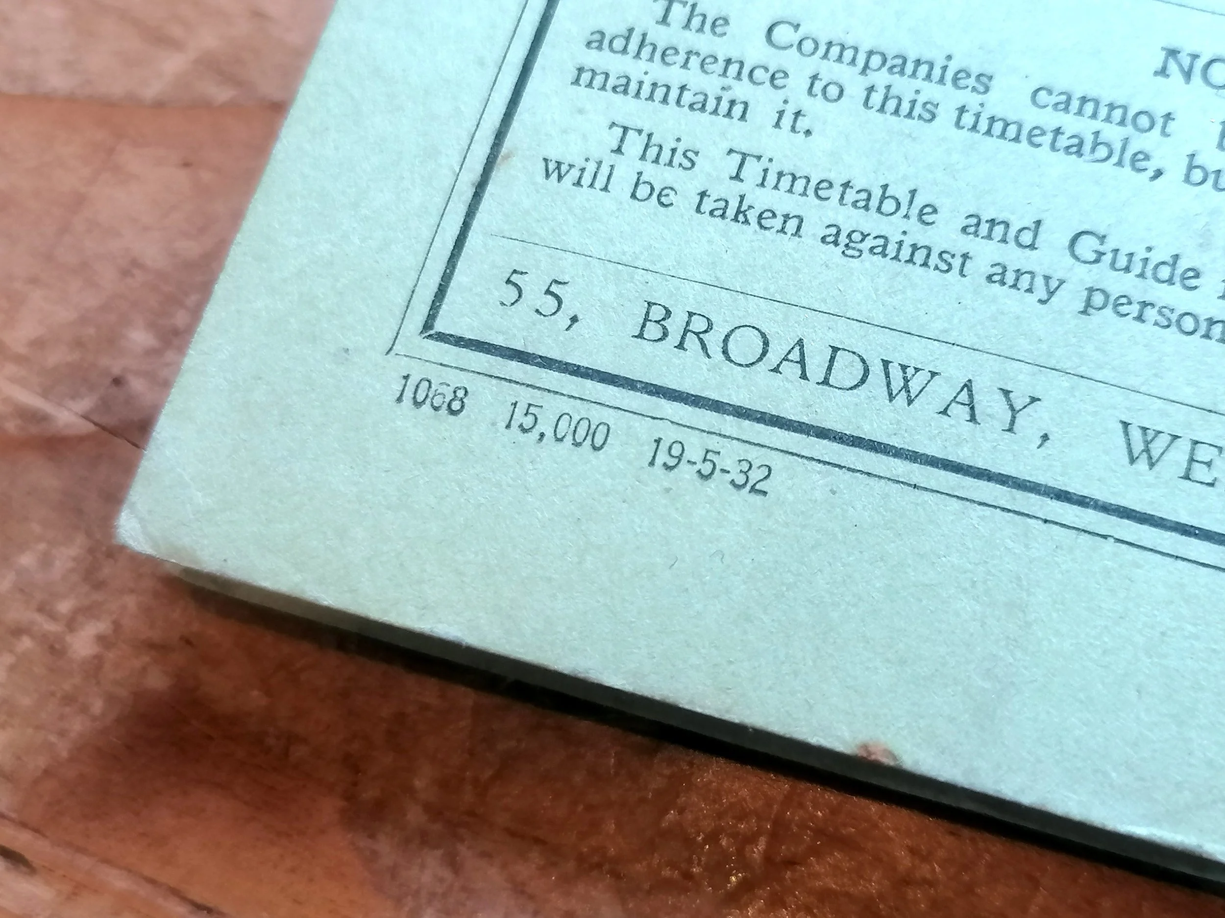 Image 7 of 11
 Image 8 of 11
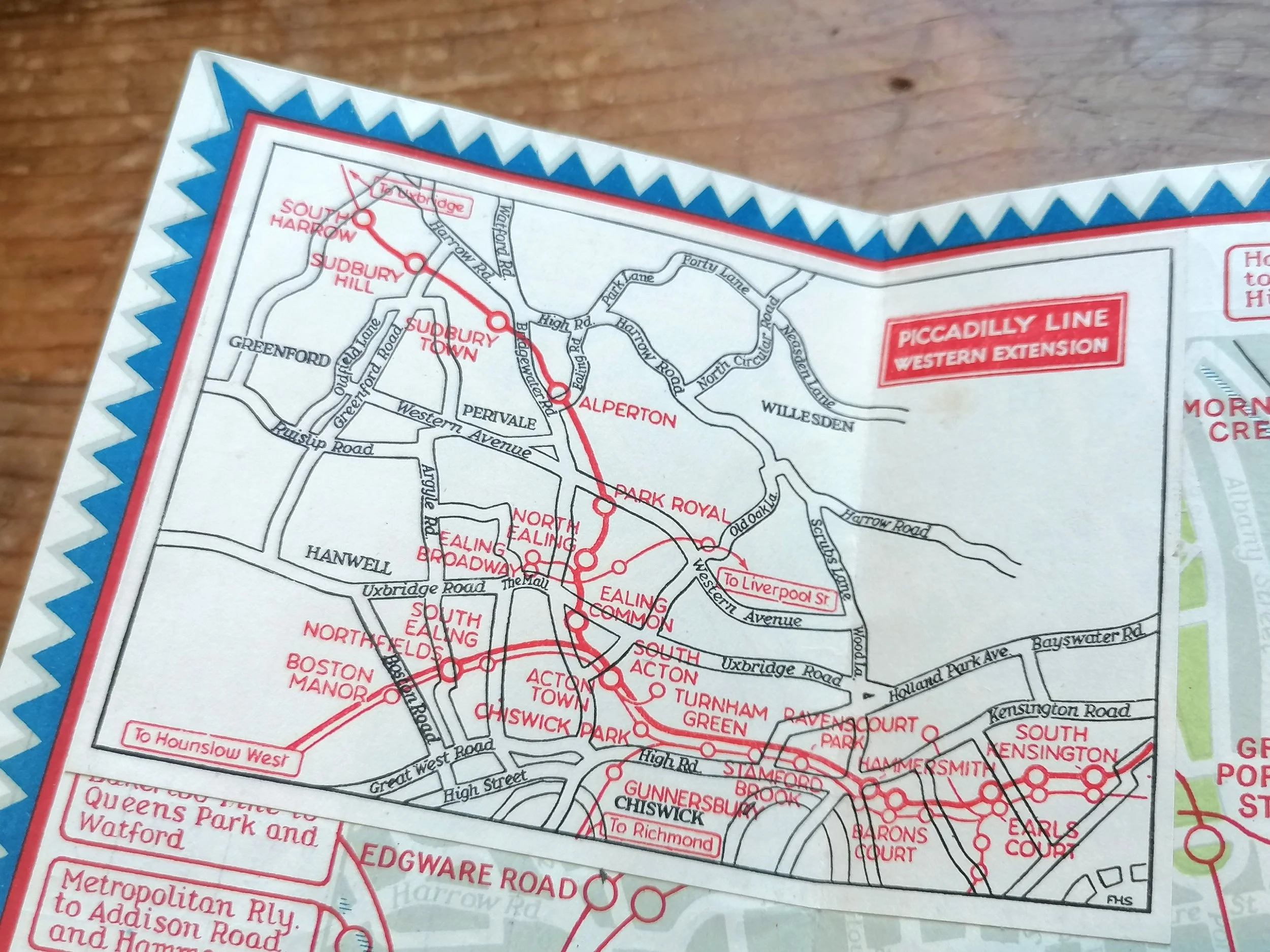 Image 10 of 11