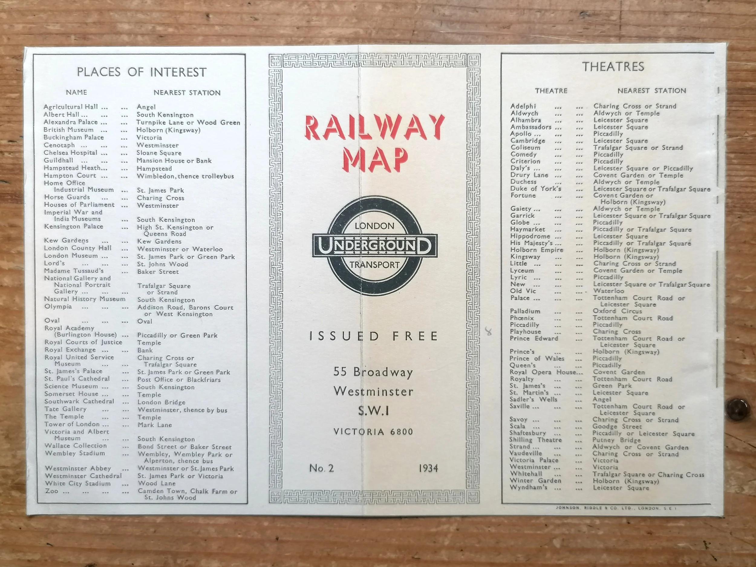
Map of the Electric Railways of London - What to See & How to See It. 1919.
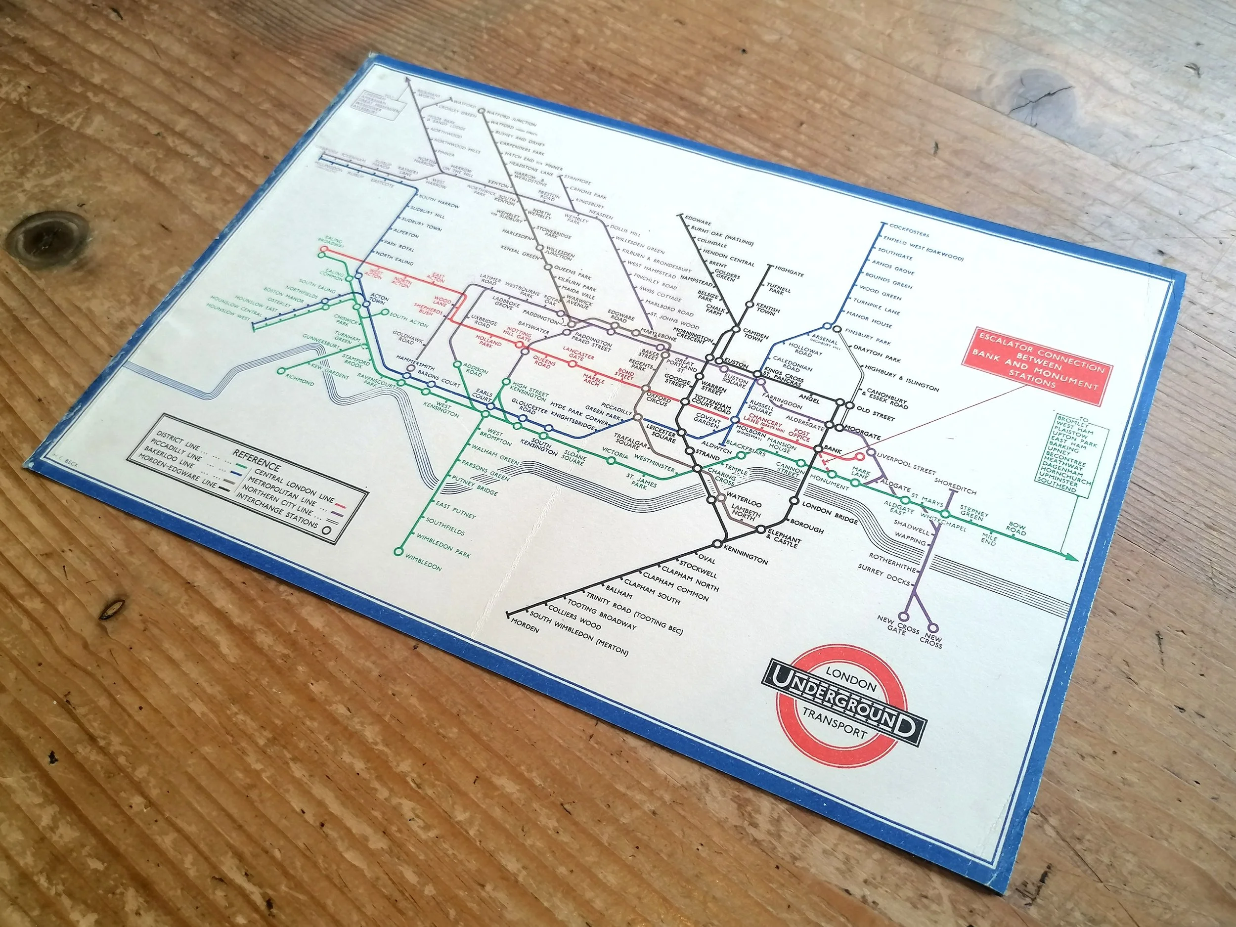
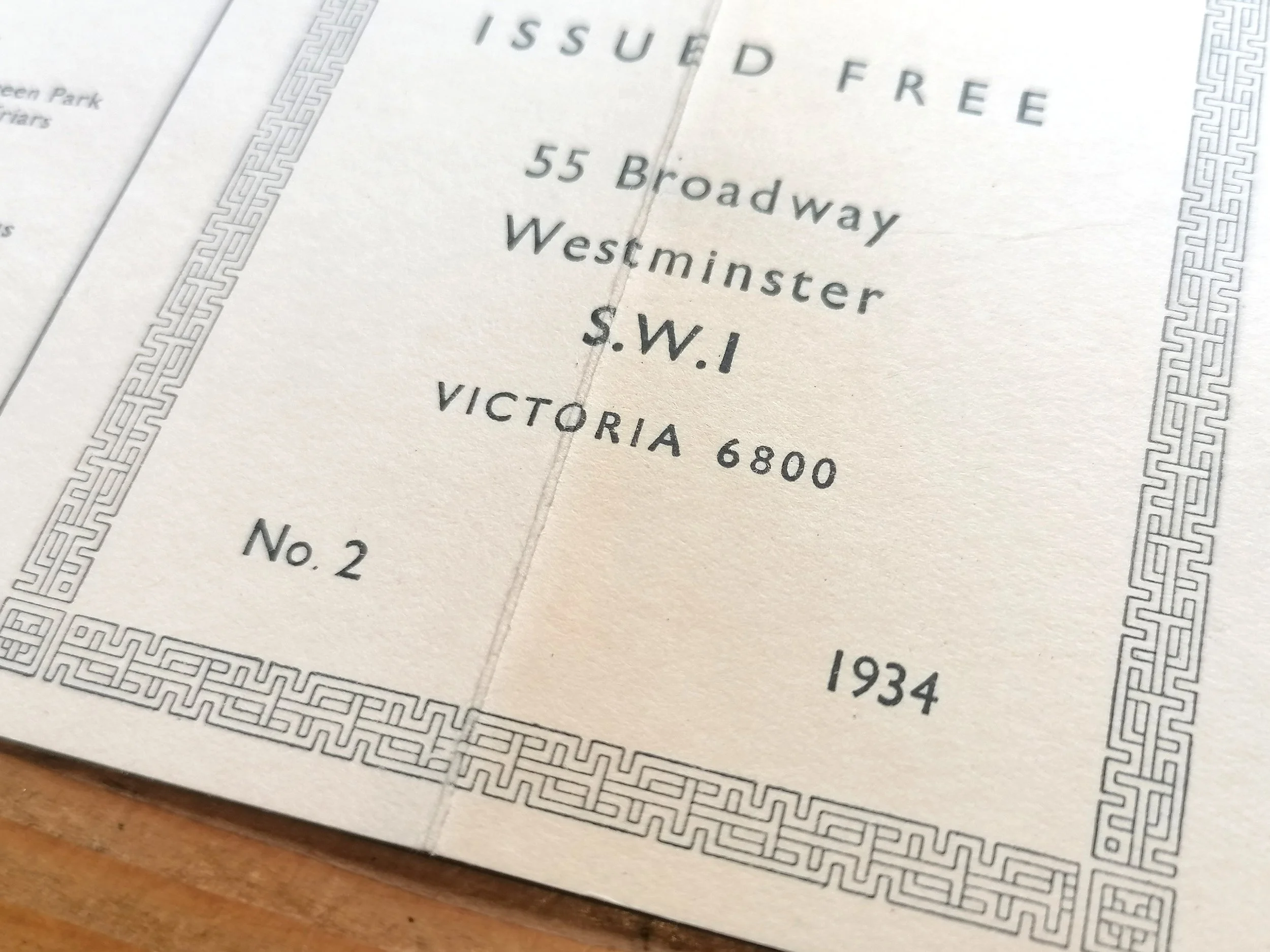
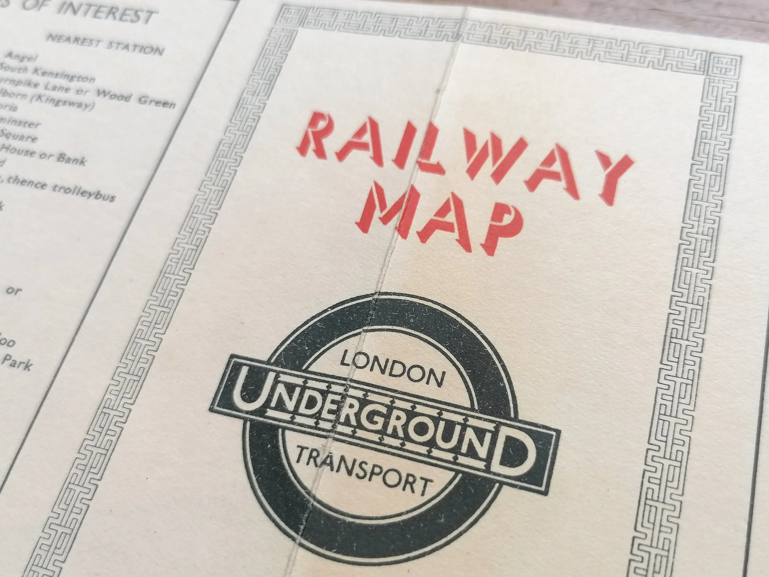
Printed by Dangerfield Printed Company for London Underground Electric Railway Company. Print Code 209-500M-18-6-19. Folding paper map; 35cm x 27cm. Condition: Excellent. Some browning typical with this edition. One small separation at a fold intersection.
The significance of this map lies on the cover rather than the map itself.
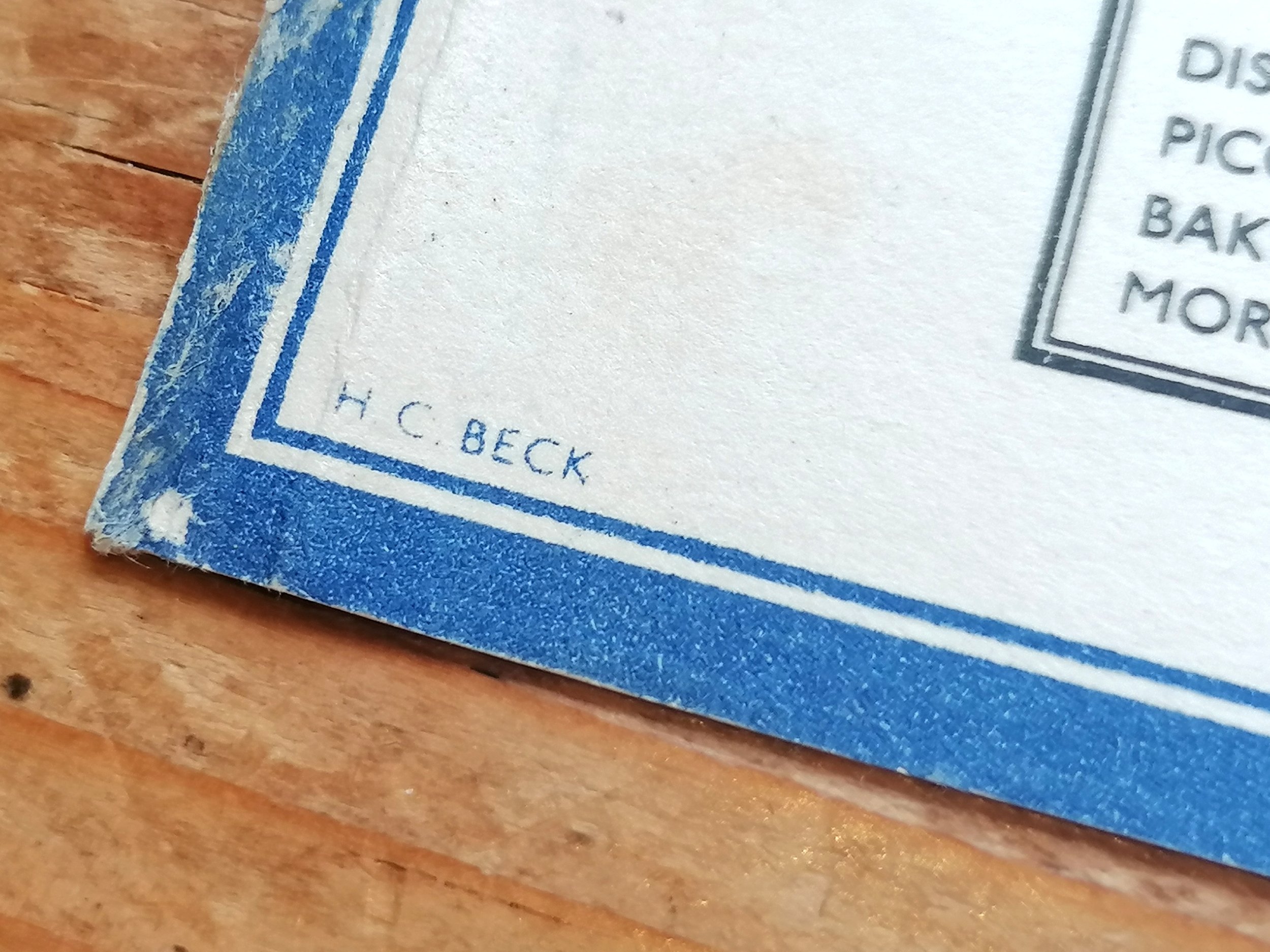
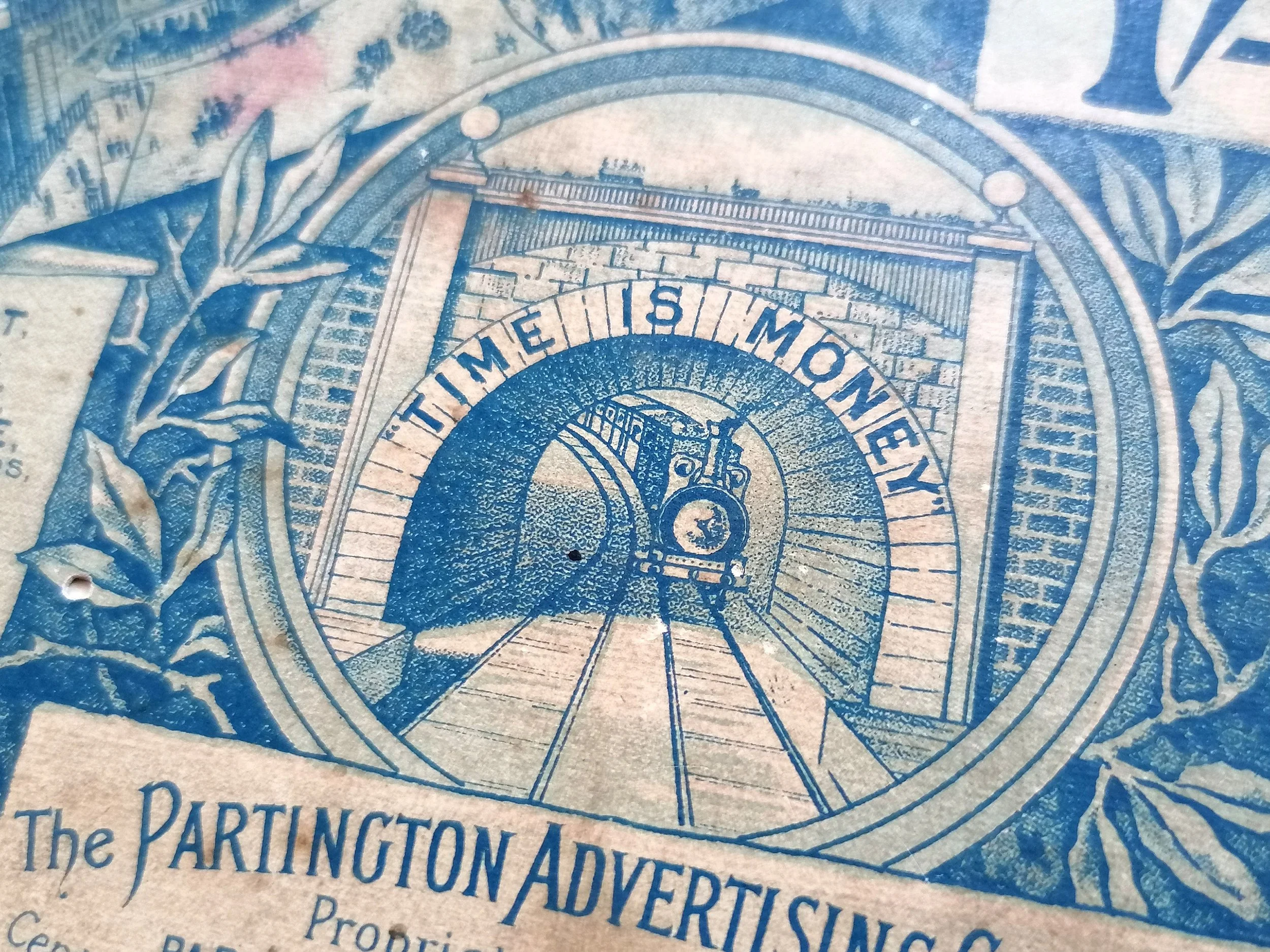
Among the many masterstrokes attributed to Frank Pick, Publicity Office of the London Underground, one could say that introducing the 'Johnston-ring' logo was the most enduring of them all. This map issued in 1919, is the first London Underground map to feature the ‘Johnston Ring'.
The Johnston typeface was introduced as the official London Underground brand font by Frank Pick in 1917 and remains so to this day. The striking but rather cumbersome Bar and disc logo that evolved from 1908 had served the purpose of in giving a graphic identity to the Underground. But Frank Pick, keen to create a fresher brand device, commissioned Edward Johnson to create a newly designed ring to marry with his typeface. The 'roundel' (as it was collectively known) was trademarked in 1917.
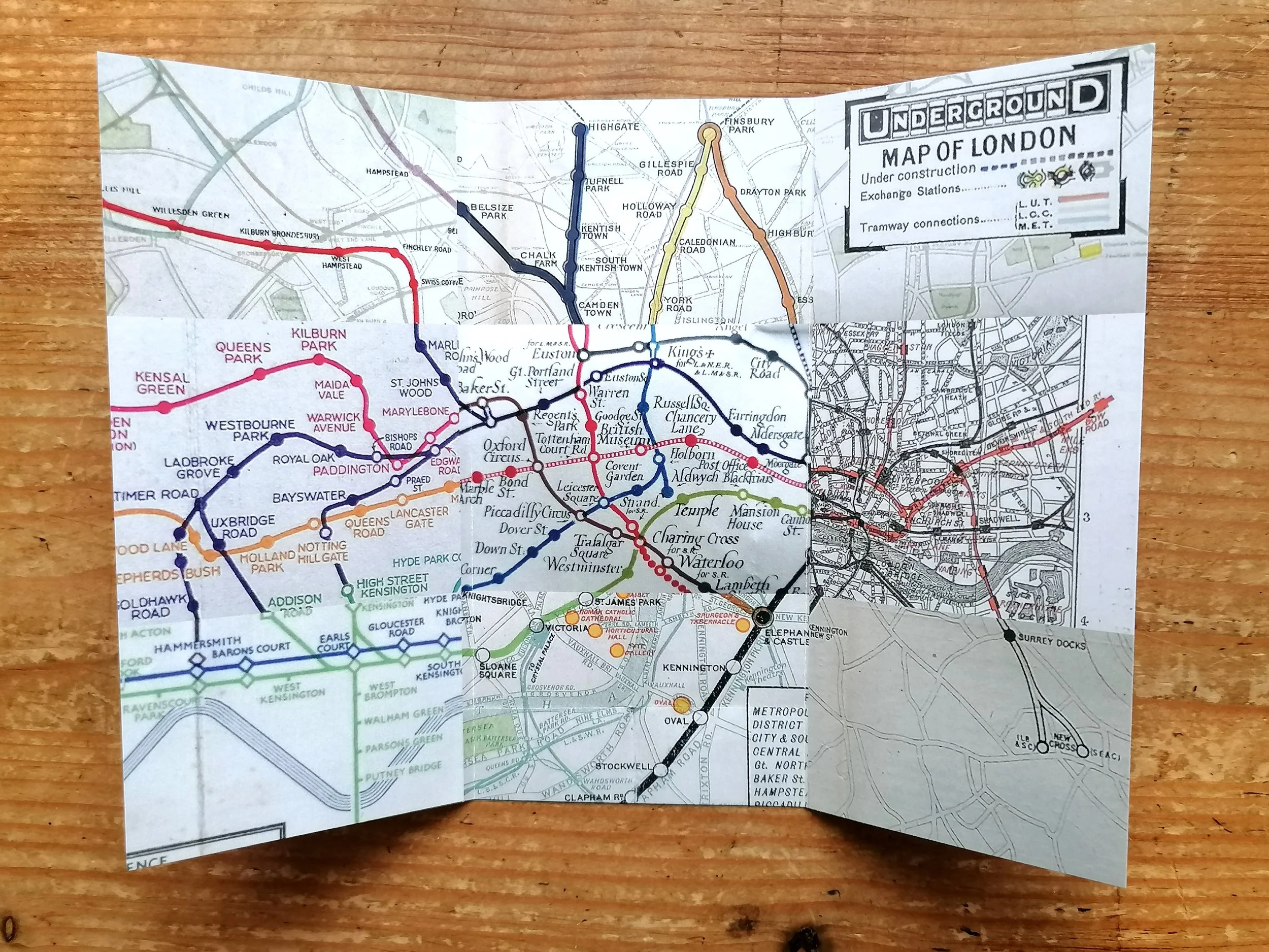
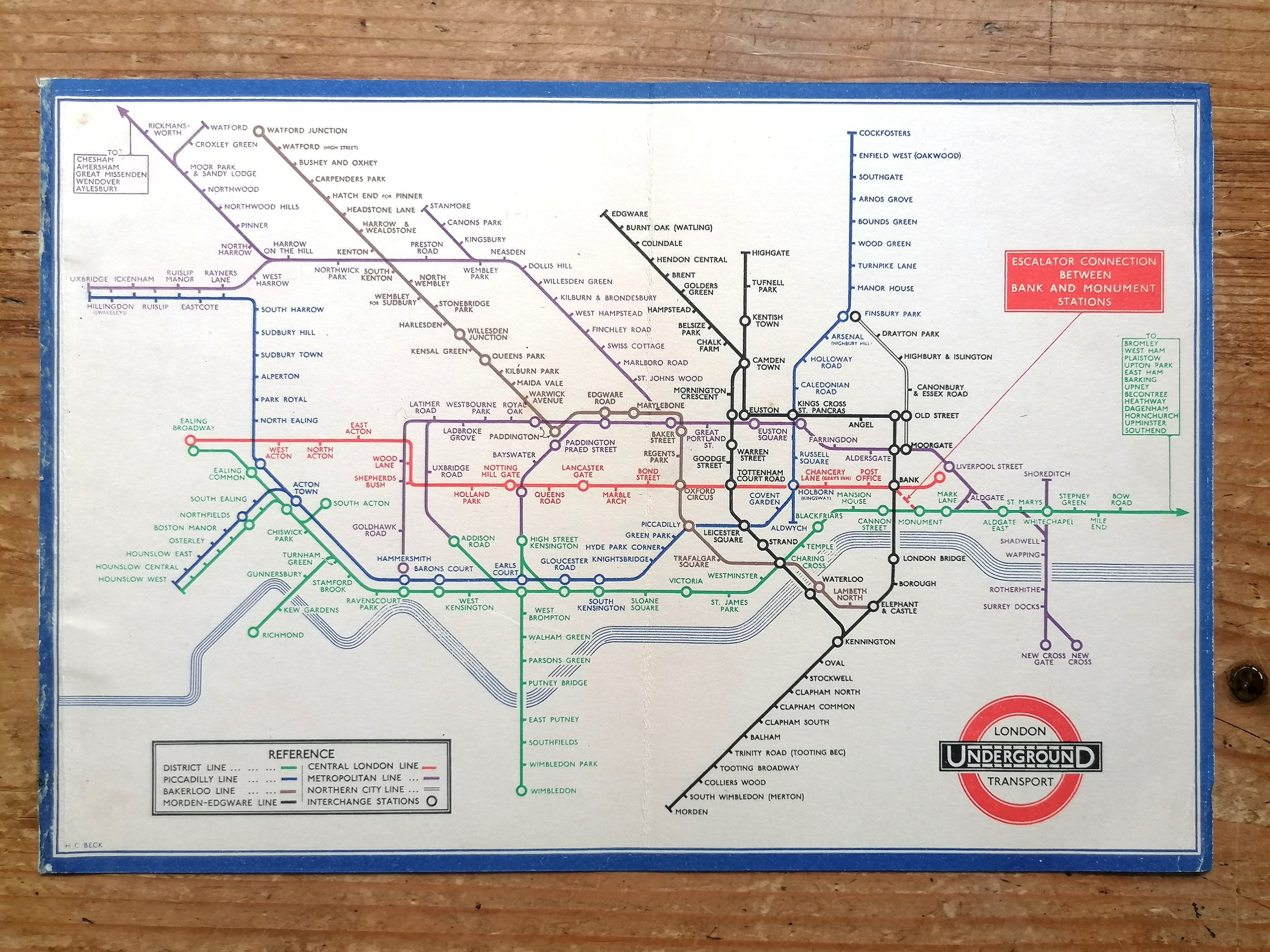
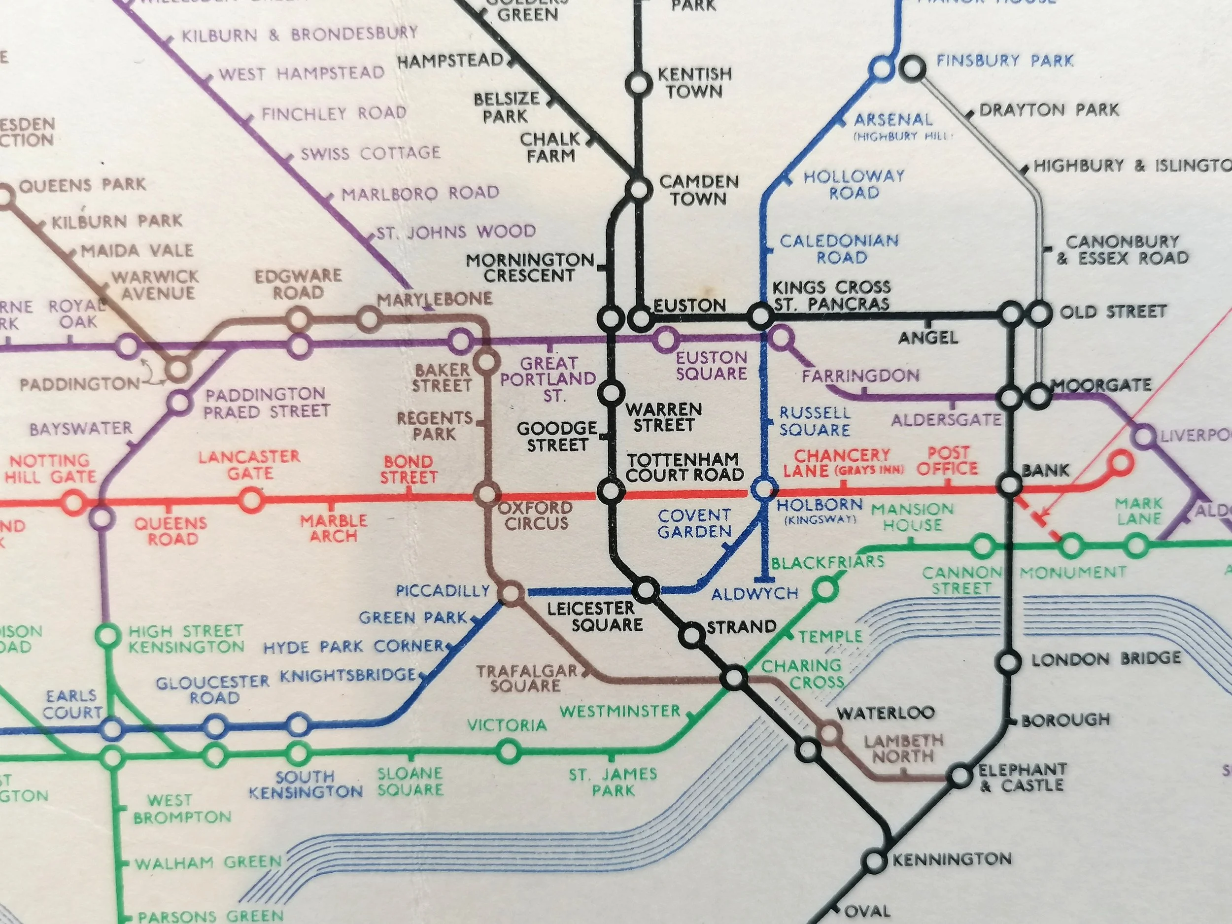
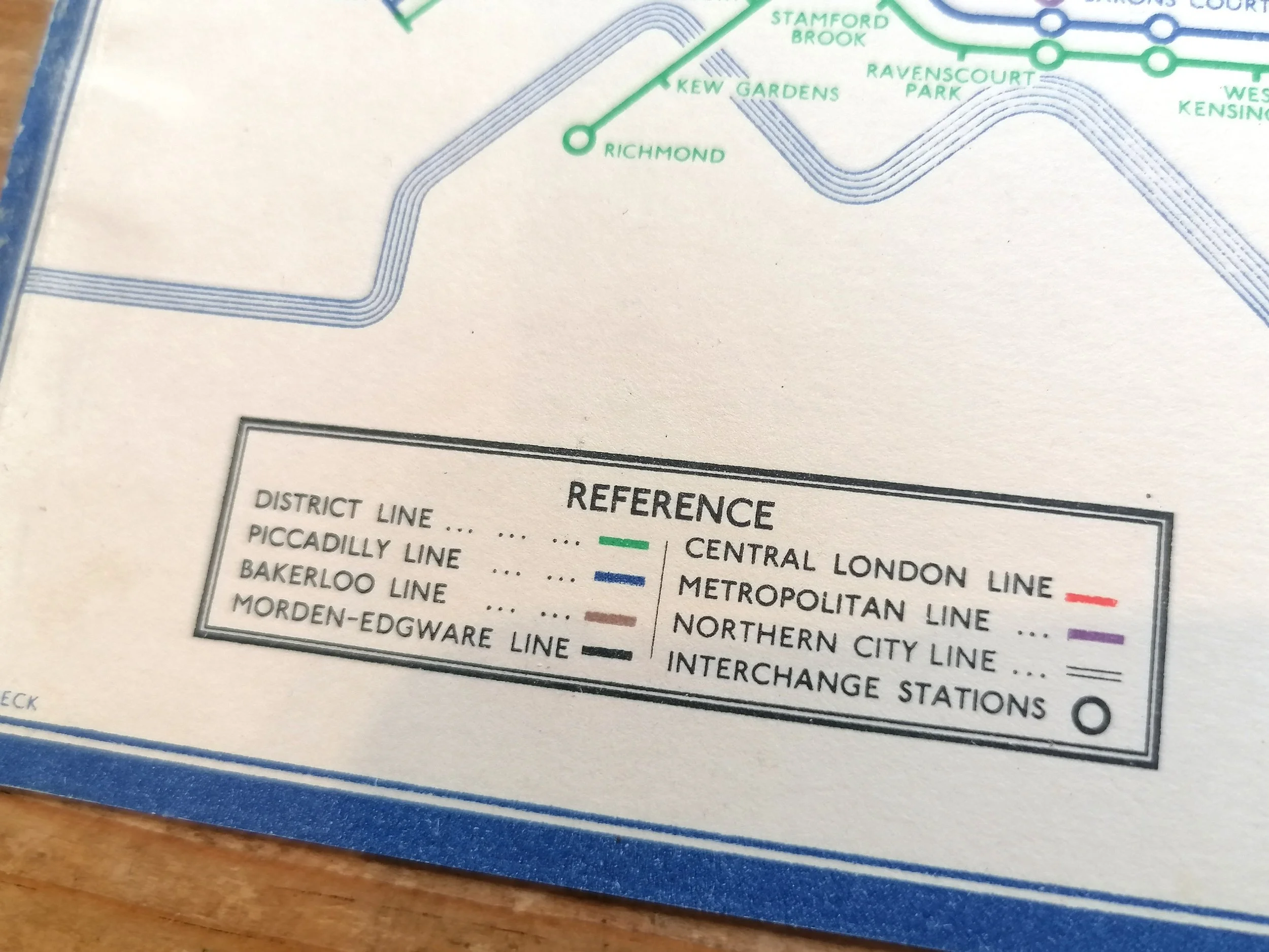
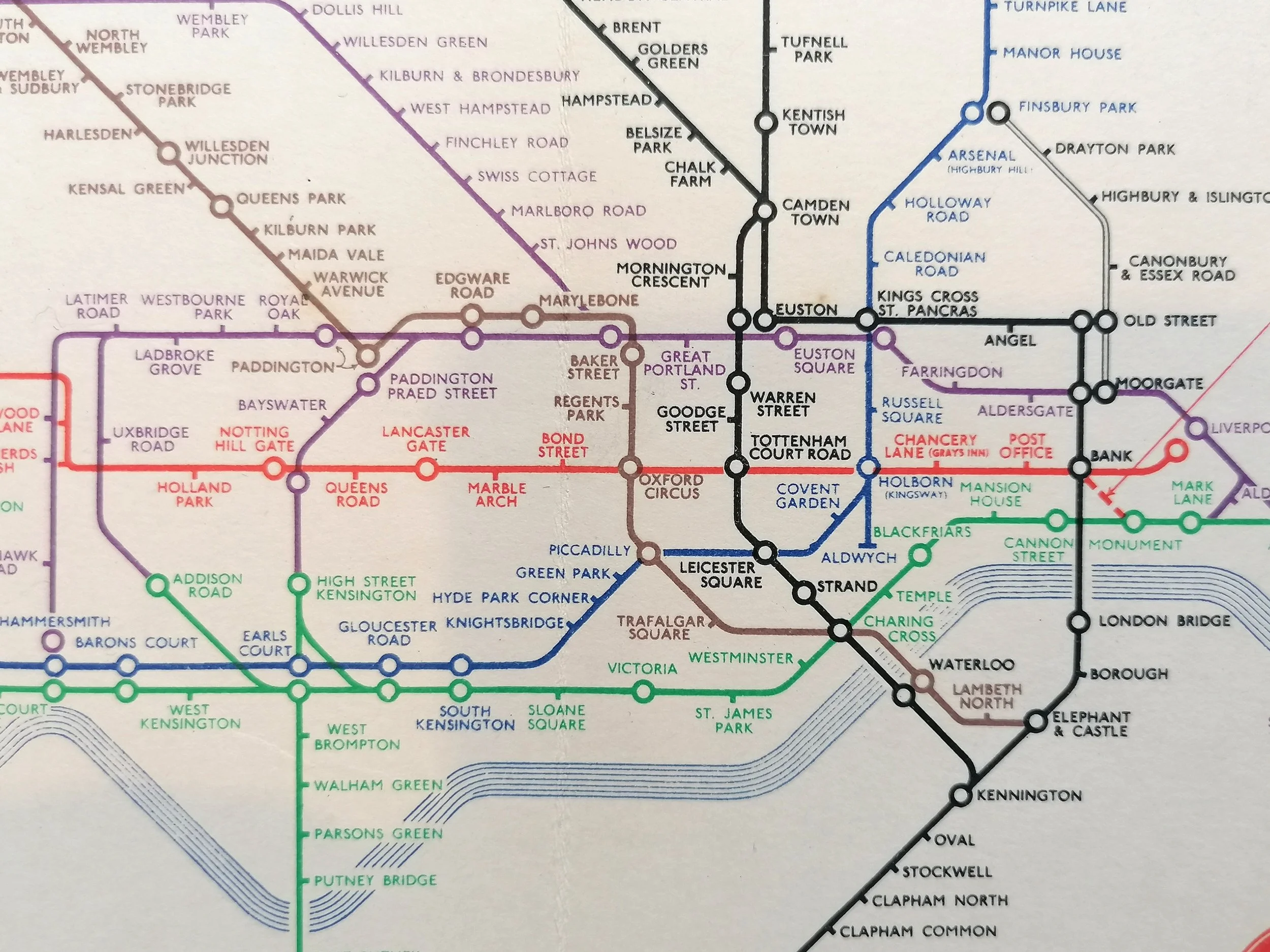
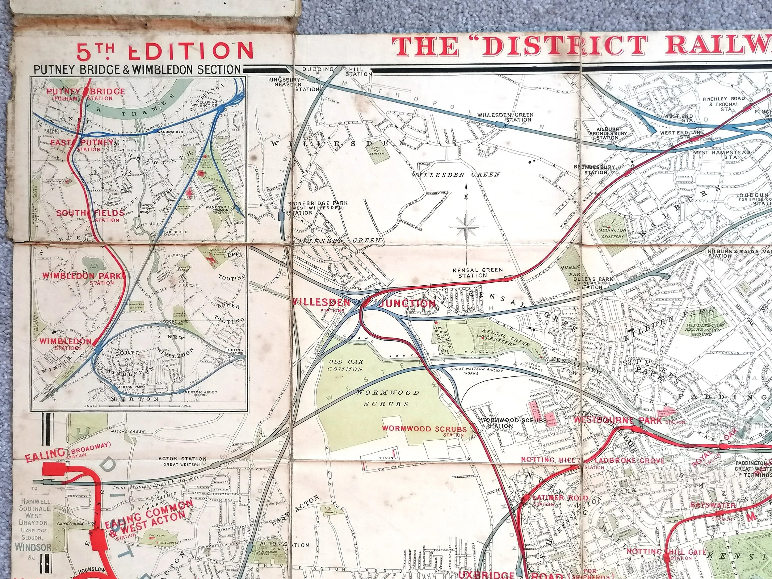
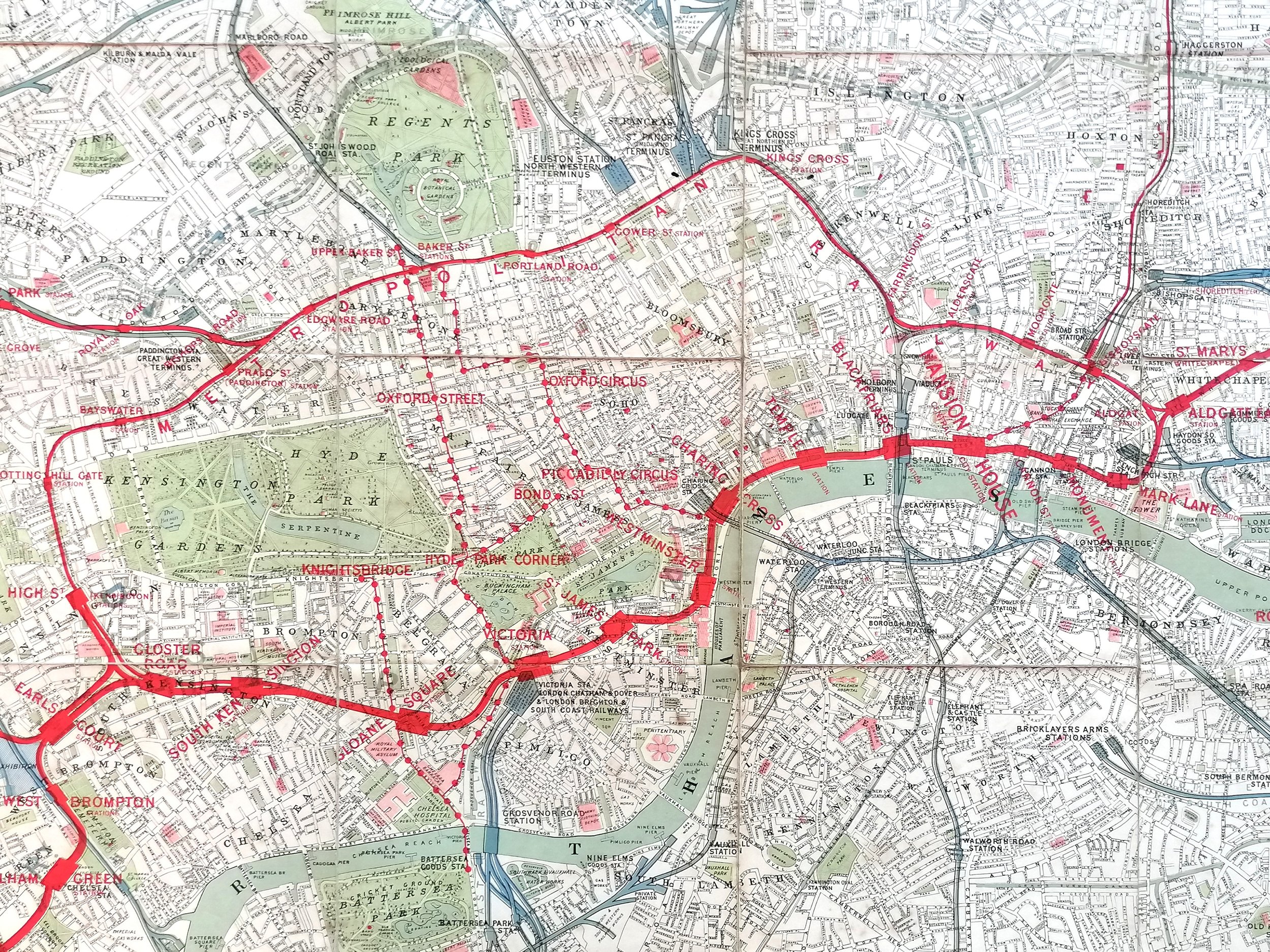
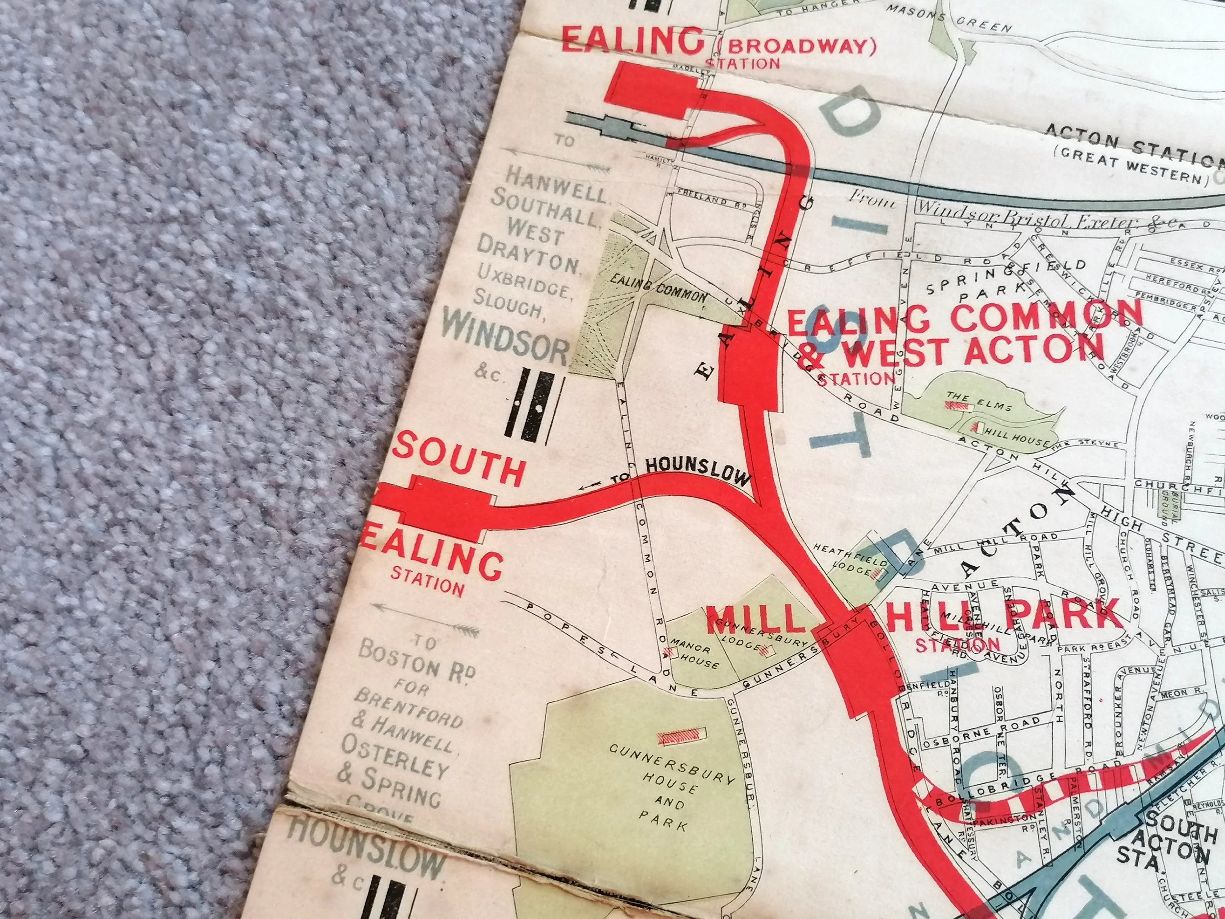
The map itself is the first full colour map since 1913 and the Johnston typeface also appears on the map face for the first time. The thin paper and limited use of colour reflect the war time austerity measures that were still in place in mid-1919.
FREE UK DELIVERY. Non-UK Delivery available, please request a quotation
Map of the Electric Railways of London - What to See & How to See It. 1919.
Printed by Dangerfield Printed Company for London Underground Electric Railway Company. Print Code 209-500M-18-6-19. Folding paper map; 35cm x 27cm. Condition: Excellent. Some browning typical with this edition. One small separation at a fold intersection.
The significance of this map lies on the cover rather than the map itself.
Among the many masterstrokes attributed to Frank Pick, Publicity Office of the London Underground, one could say that introducing the 'Johnston-ring' logo was the most enduring of them all. This map issued in 1919, is the first London Underground map to feature the ‘Johnston Ring'.
The Johnston typeface was introduced as the official London Underground brand font by Frank Pick in 1917 and remains so to this day. The striking but rather cumbersome Bar and disc logo that evolved from 1908 had served the purpose of in giving a graphic identity to the Underground. But Frank Pick, keen to create a fresher brand device, commissioned Edward Johnson to create a newly designed ring to marry with his typeface. The 'roundel' (as it was collectively known) was trademarked in 1917.
The map itself is the first full colour map since 1913 and the Johnston typeface also appears on the map face for the first time. The thin paper and limited use of colour reflect the war time austerity measures that were still in place in mid-1919.
FREE UK DELIVERY. Non-UK Delivery available, please request a quotation

 Image 1 of 10
 Image 2 of 10
 Image 3 of 10
 Image 4 of 10
 Image 5 of 10
 Image 6 of 10
 Image 7 of 10
 Image 8 of 10
 Image 9 of 10
 Image 10 of 10