UndergrounD Map of London - 1910
Printed by David Allen & Sons for Central London Railway. Early 1910. Undated but shows the renamed stations Euston Square (formerly Gower Street) & Liverpool Street (formerly Bishopsgate) both renamed in November 1909 Size: 15cm x 11cm open. Colour lithograph on linen-backed card, Folded twice in gatefold format as issued. Condition: Outstanding unused example. The finest copy we have ever seen. Two very small foxing spots.
This tiny waistcoat pocket map of the London Underground is widely considered the true ancestor of the modern day Tube map. As the first map of its kind, this ‘gatefold’ format was an experimental scaled-down version of the common folded paper map of the day.
On this map, Mark Ovenden writes “Emerging at the end of 1908 and distributed in early 1909 the first of these was miniscule compared with earlier maps and therefore the first truly ‘pocket’ map”. .. This shrunk the network down so much that enhanced legibility was crucial hence most geographic details were omitted (just the river and parks left on for orientation)”
It was common in the short period after unification (1908) for the various Underground railway companies to continue promoting their respective lines and this map has been issued by the Central London Railway, showing their line and information relating to the CLR on the back cover. That said, the map design and the vertical “UndergrounD” logo on the cover were the approved devices for which to jointly promote the now-unified network. The vertical logo was mainly used as station signage from 1909, rarely used in print. One can see on such a narrow map why this vertical format was favoured for the cover whilst the more common horizontal workmark is used for the map-side title.
After a couple of iterations, this tiny map wasn’t continued beyond 1911 and it was 1921 before another gatefold London Underground map was issued (another novelty side show to the main paper map). However, the pocket size gatefold format was fully adopted from 1925 as the primary format for maps issued at stations. (Fred Stingemore’s series of maps 1925-1932).
Free UK delivery. For non-UK delivery please request quotation.

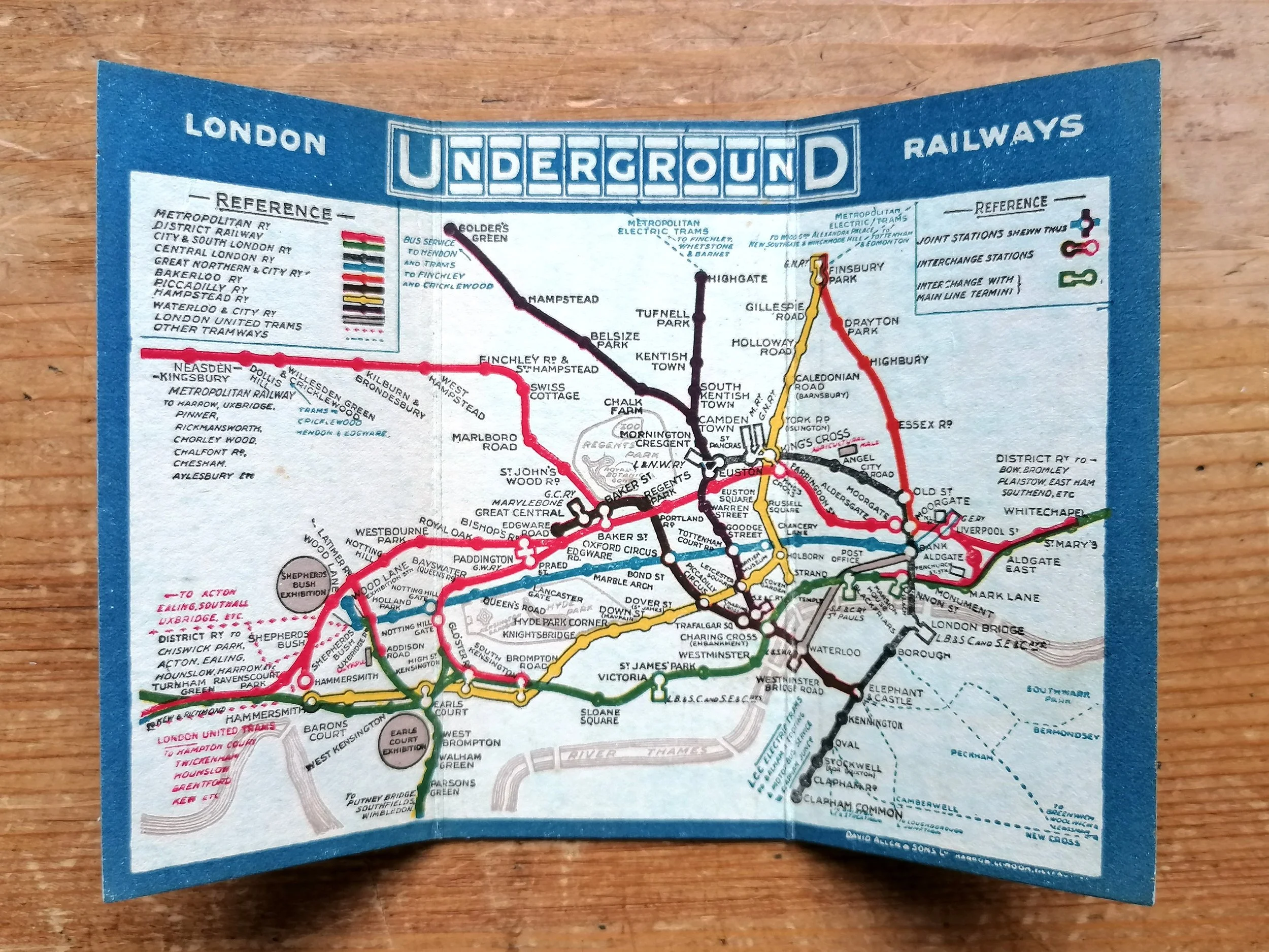 Image 1 of 13
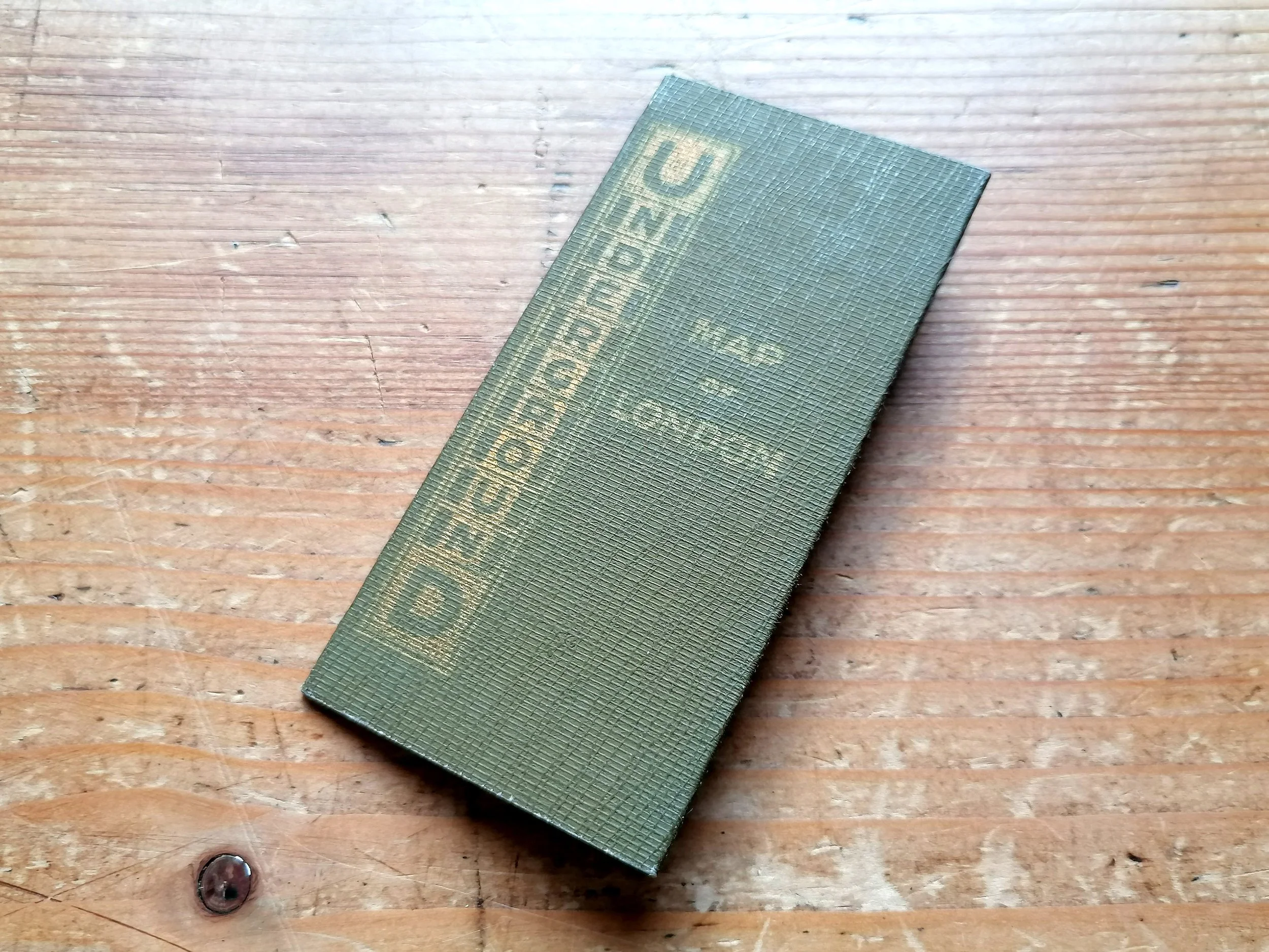 Image 2 of 13
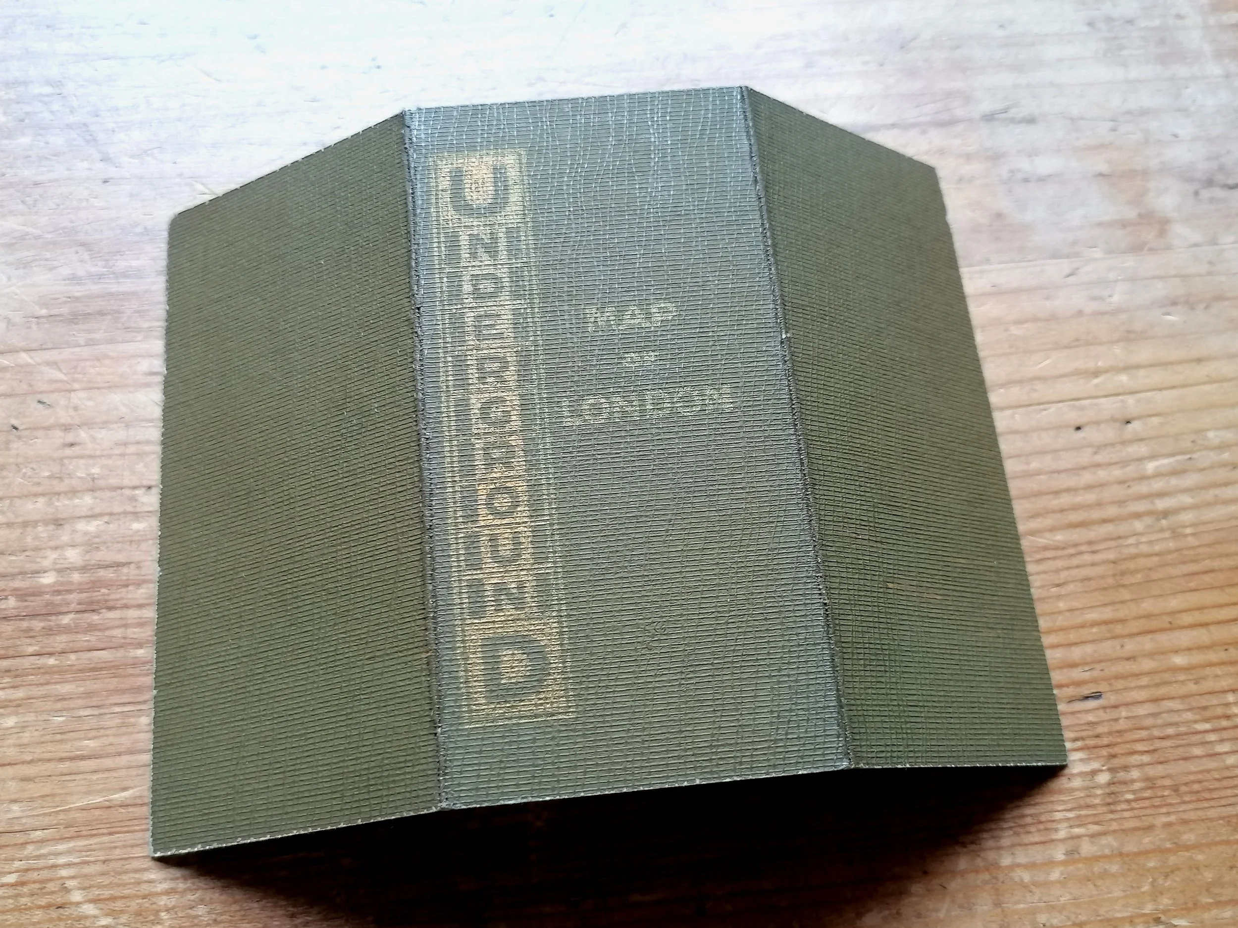 Image 3 of 13
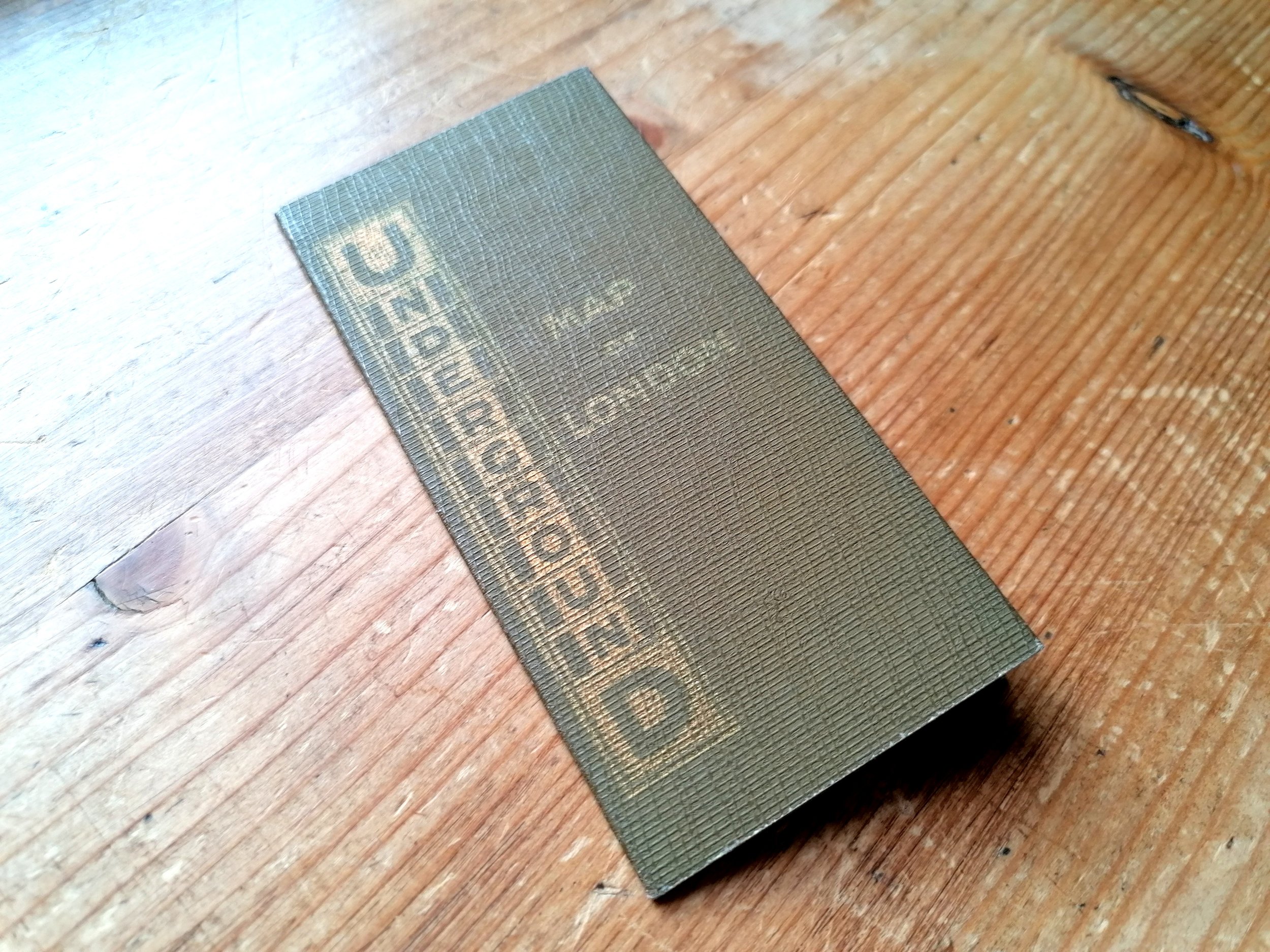 Image 4 of 13
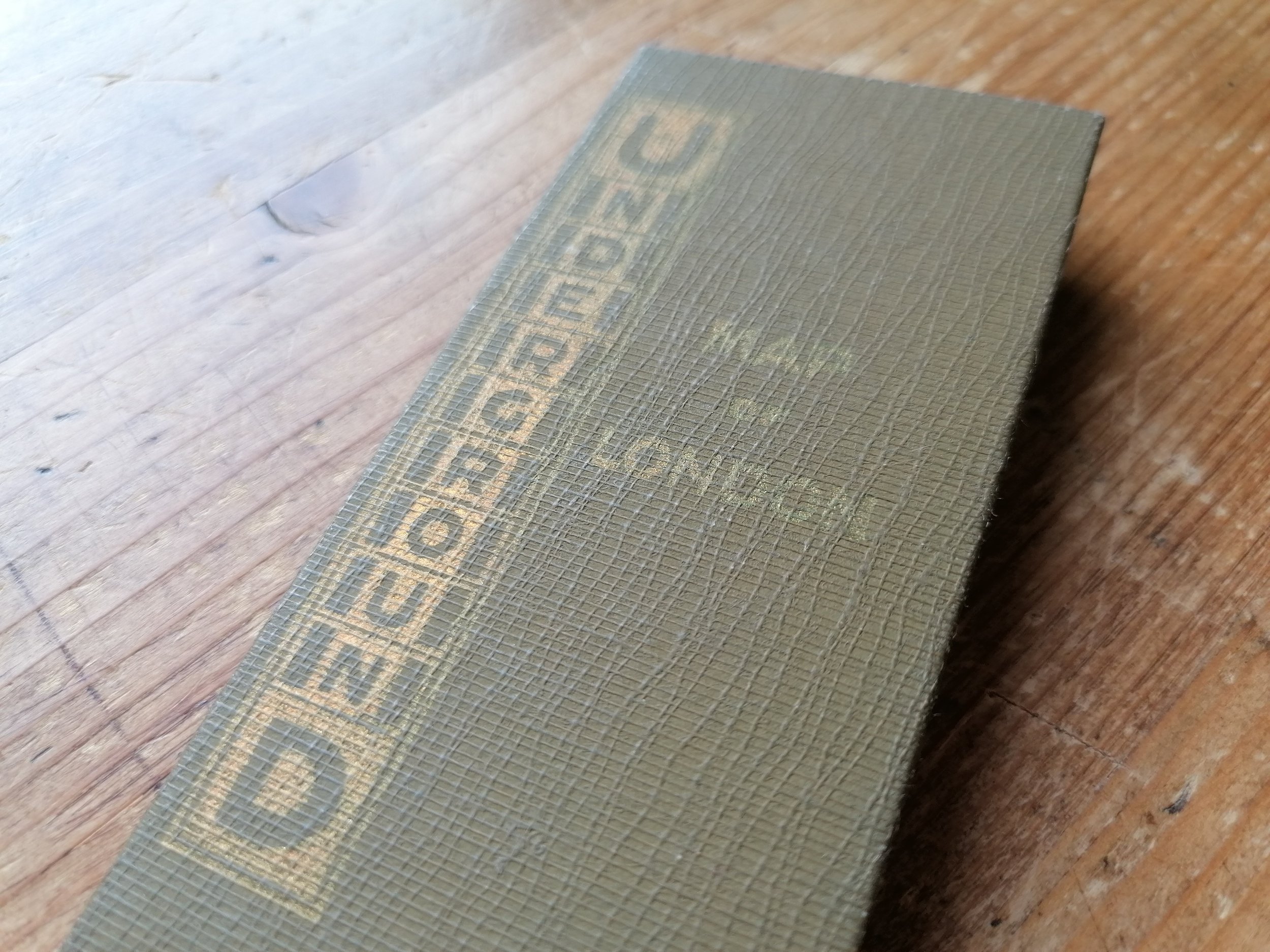 Image 5 of 13
 Image 7 of 13
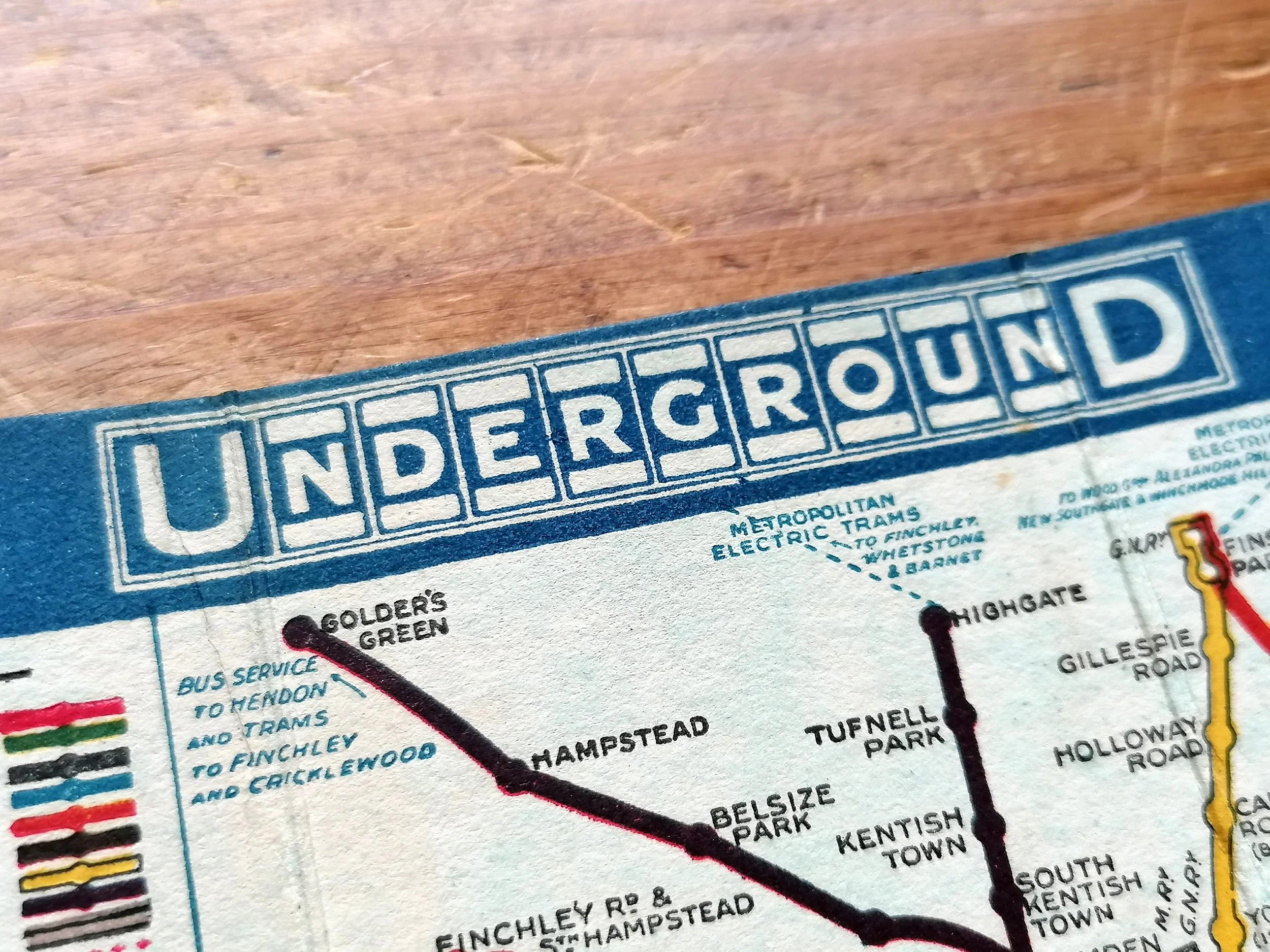 Image 8 of 13
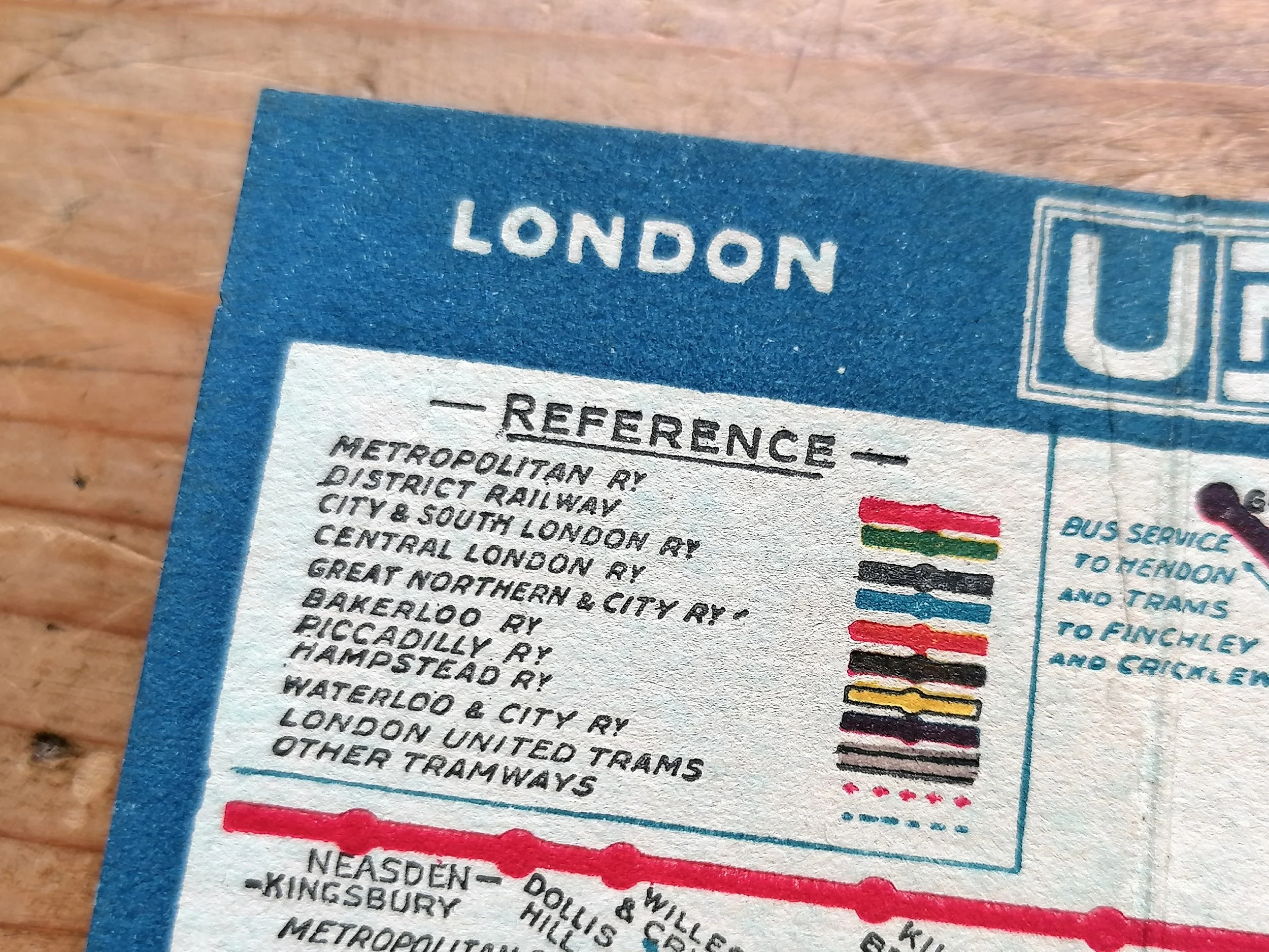 Image 9 of 13
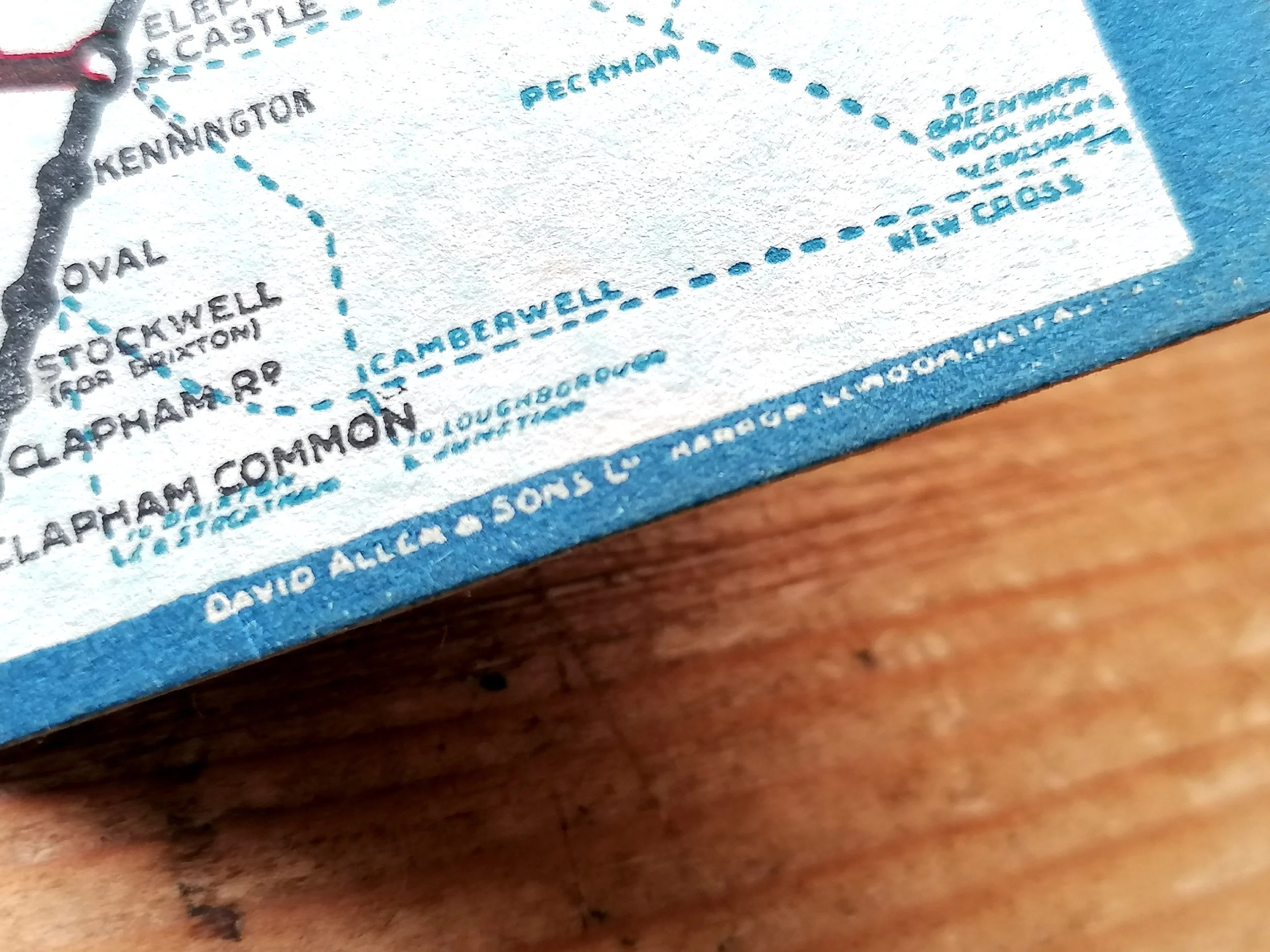 Image 10 of 13
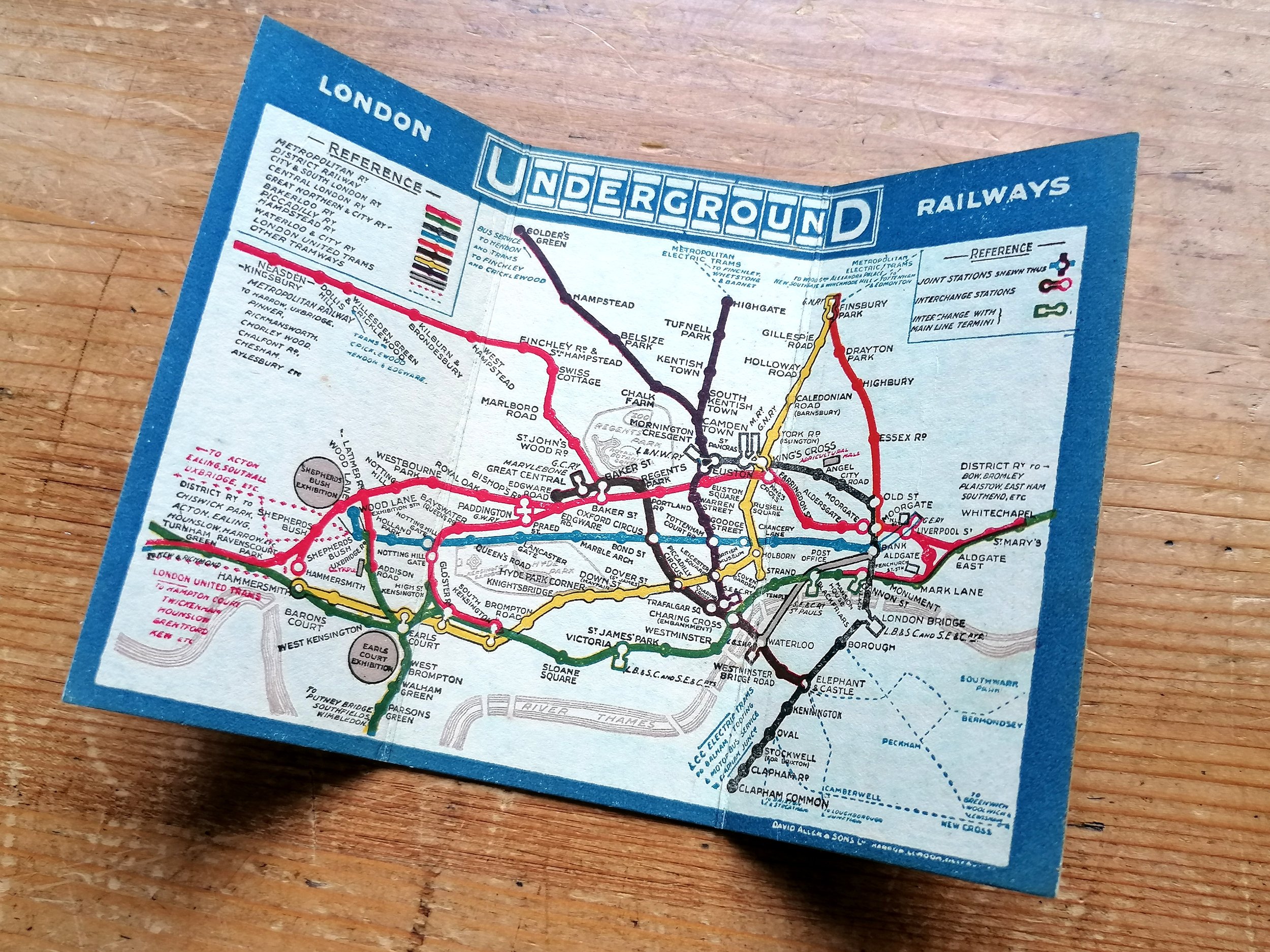 Image 11 of 13
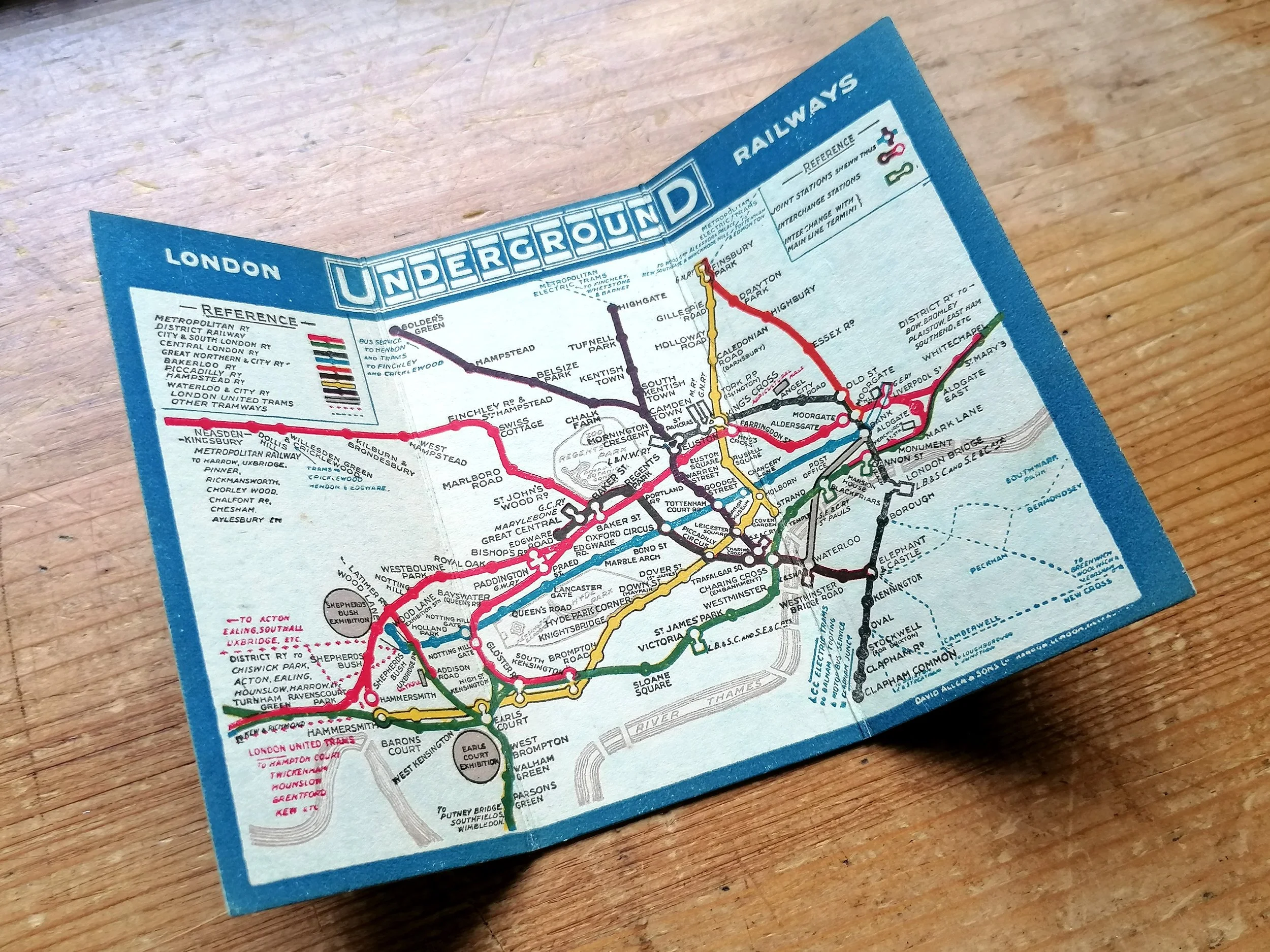 Image 12 of 13
 Image 13 of 13