The District Railway Map of London - Second Edition (1876)
Printed by Waterlow & Sons and Published by Edward Stanford for the Metropolitan District Railway Company. Colour lithograph. Blank verso. Folded as issue. Dated 1876. Measures 107cm x 65cm.
This map is the second issue of District Railway’s large format maps and features an early overprint for the Inner Circle Completion Line.

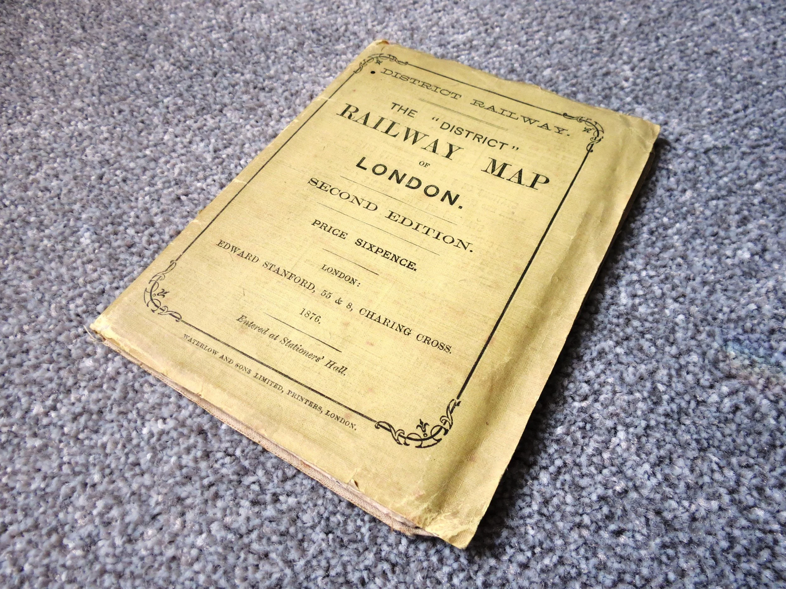 Image 1 of 8
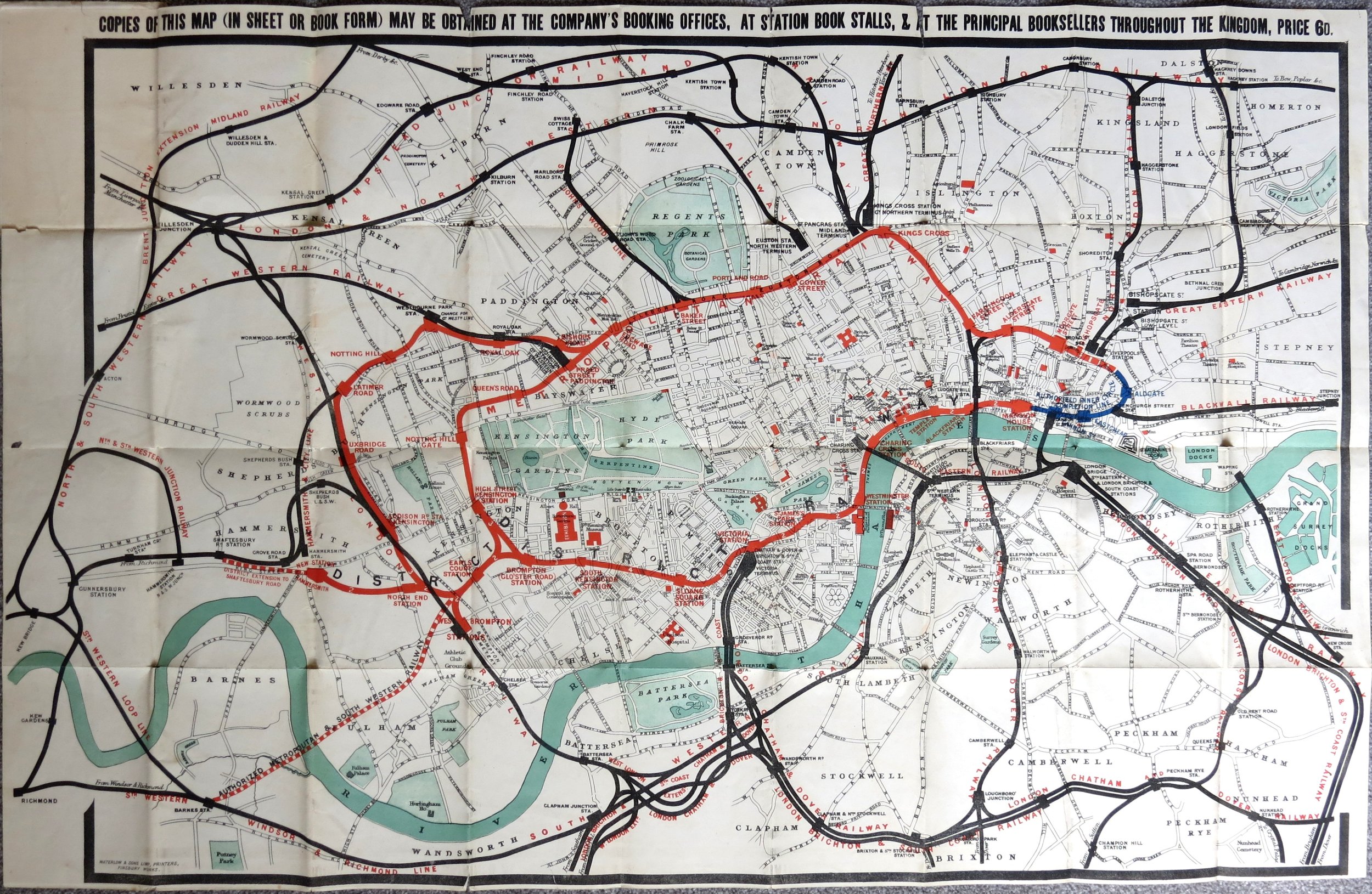 Image 2 of 8
 Image 4 of 8
 Image 5 of 8
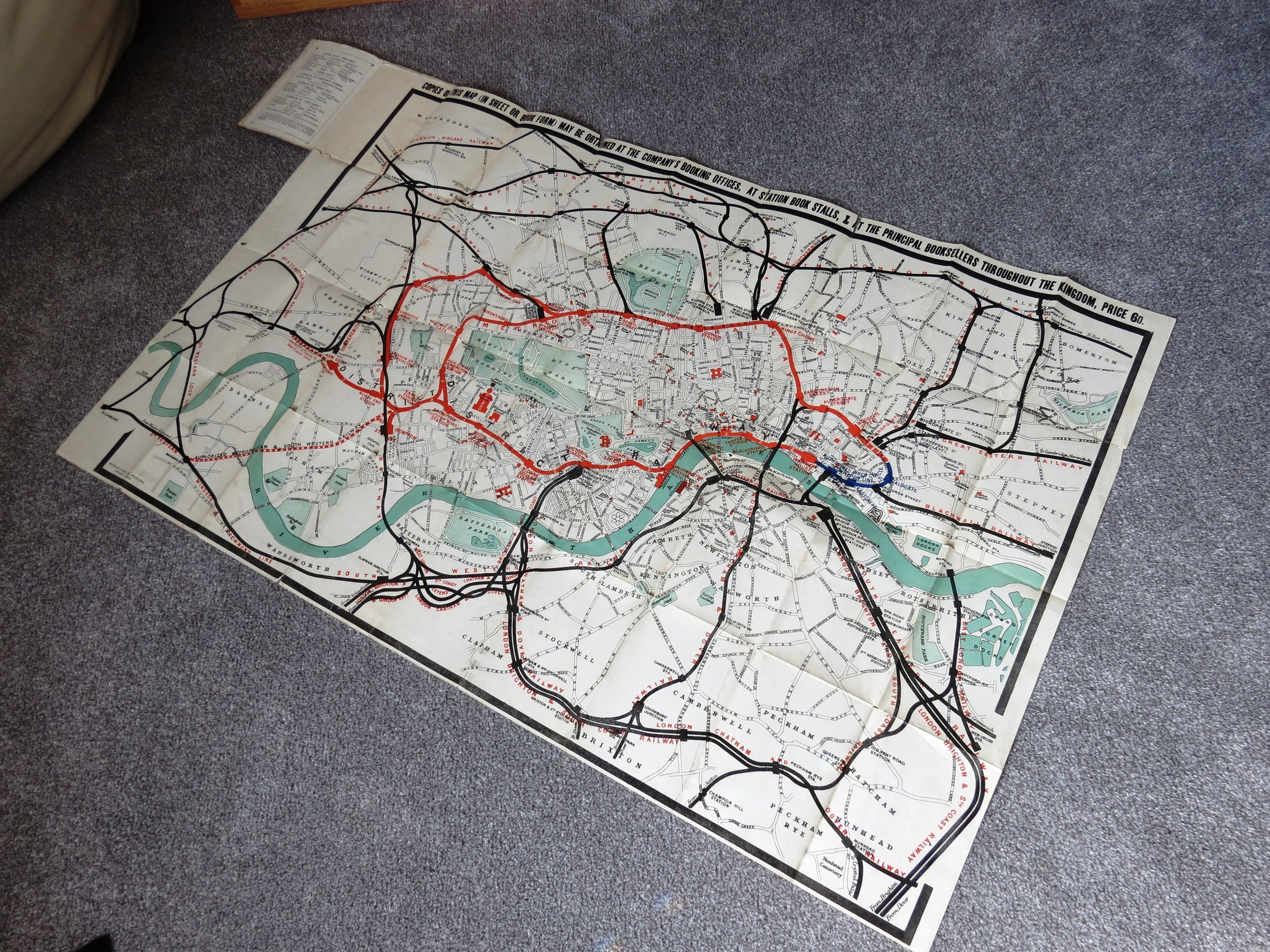 Image 6 of 8
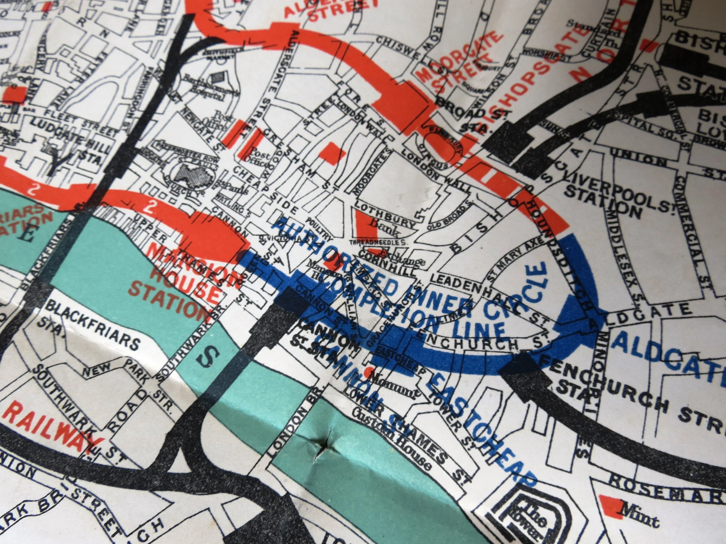 Image 7 of 8
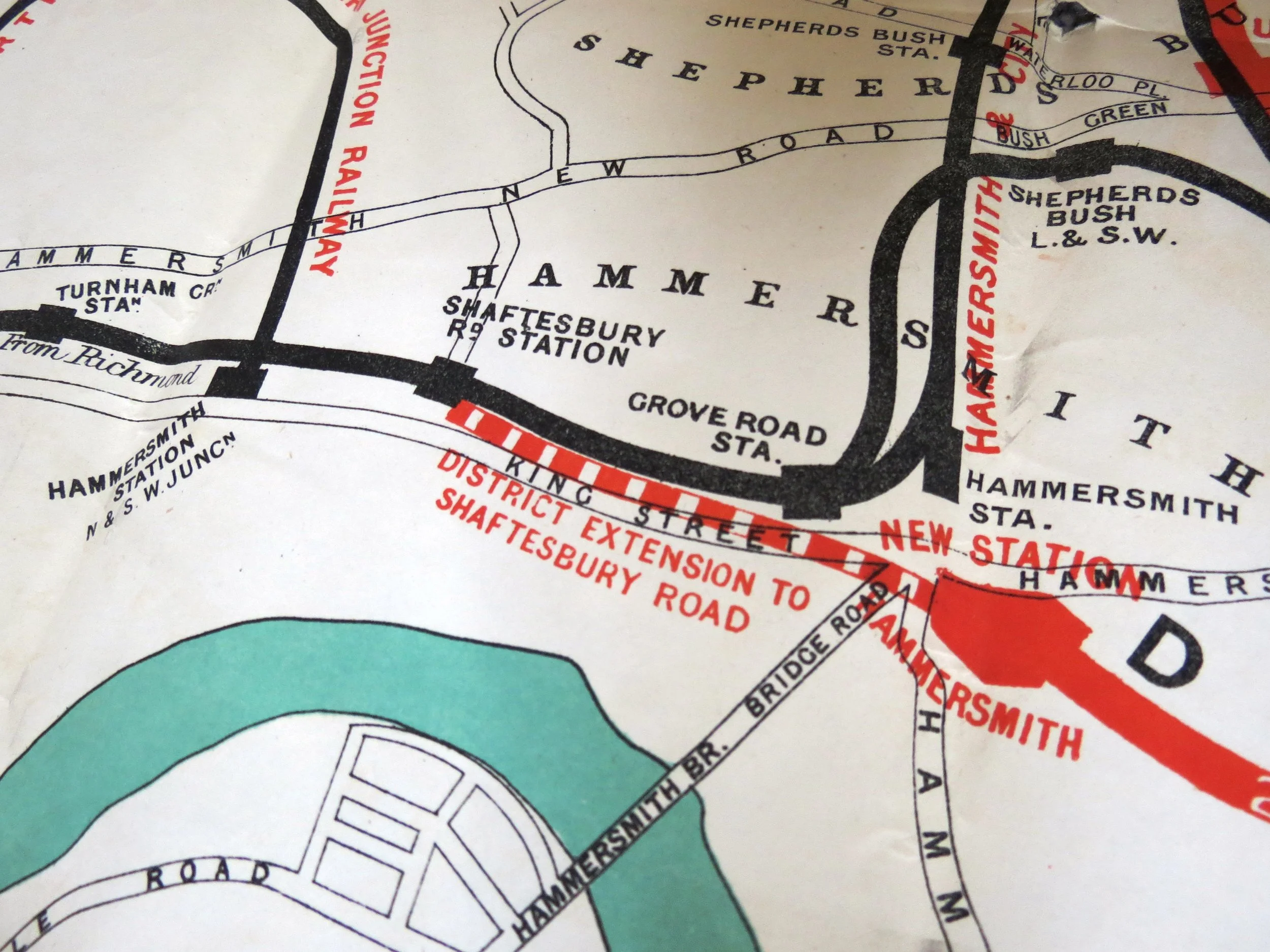 Image 8 of 8