Central London - Station Map
Dated 1951. Printed by G.W.Bacon Ltd for London Transport. Measures 127cm x 101cm. Print Code: 1051/2015D/2500. Condition: Very good. Folded as issued with some wear to bottom edge. Some holes at fold intersections and along some folds.
A quad-royal geographic map of Central London showing London Transport services (Underground, Bus, Trolleybus) overlaid onto a detailed street map. Decorative LT logo border in a purple hew.
This map will have been displayed at transit stations across London.

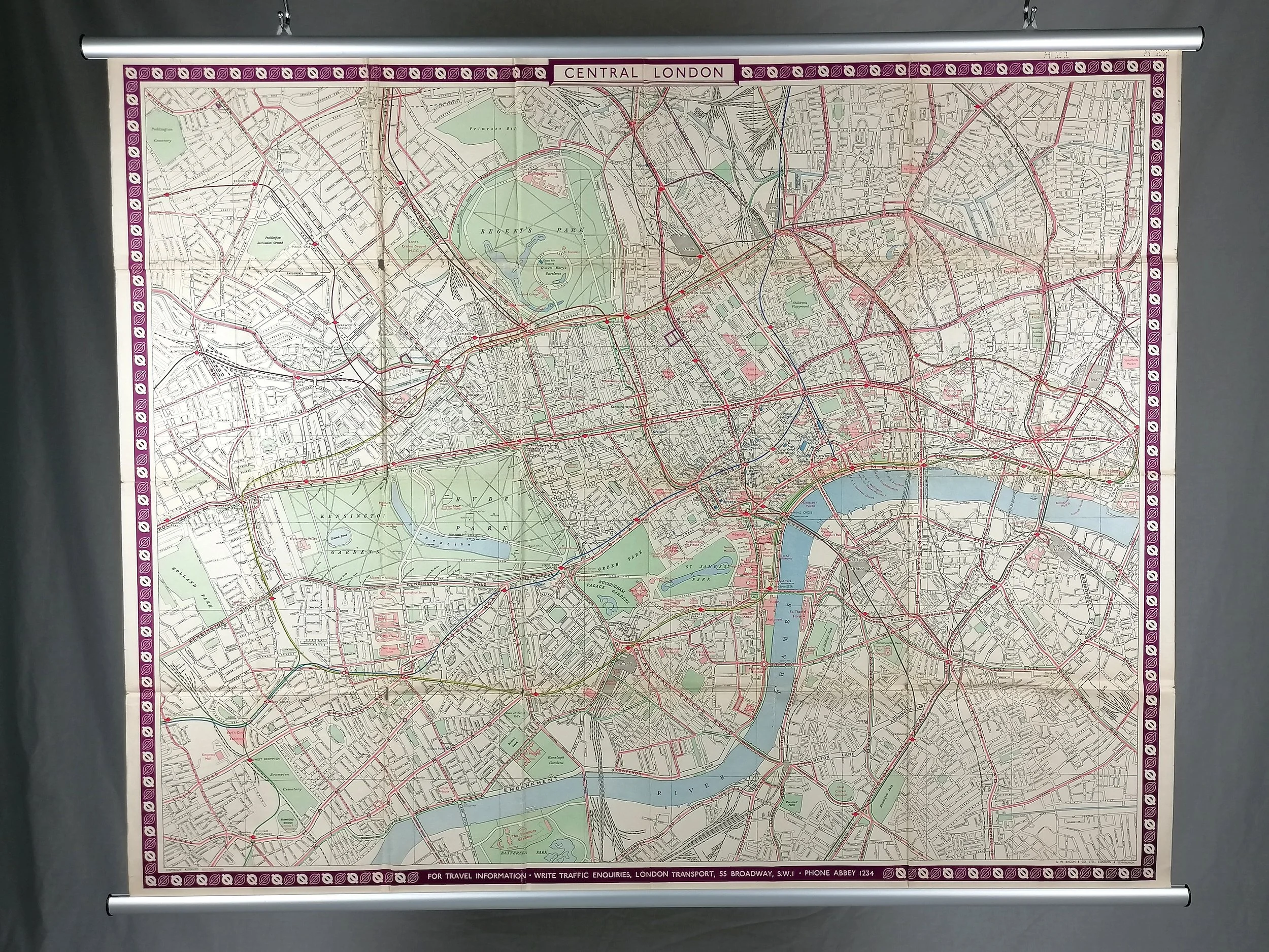 Image 1 of 15
 Image 2 of 15
 Image 3 of 15
 Image 4 of 15
 Image 5 of 15
 Image 6 of 15
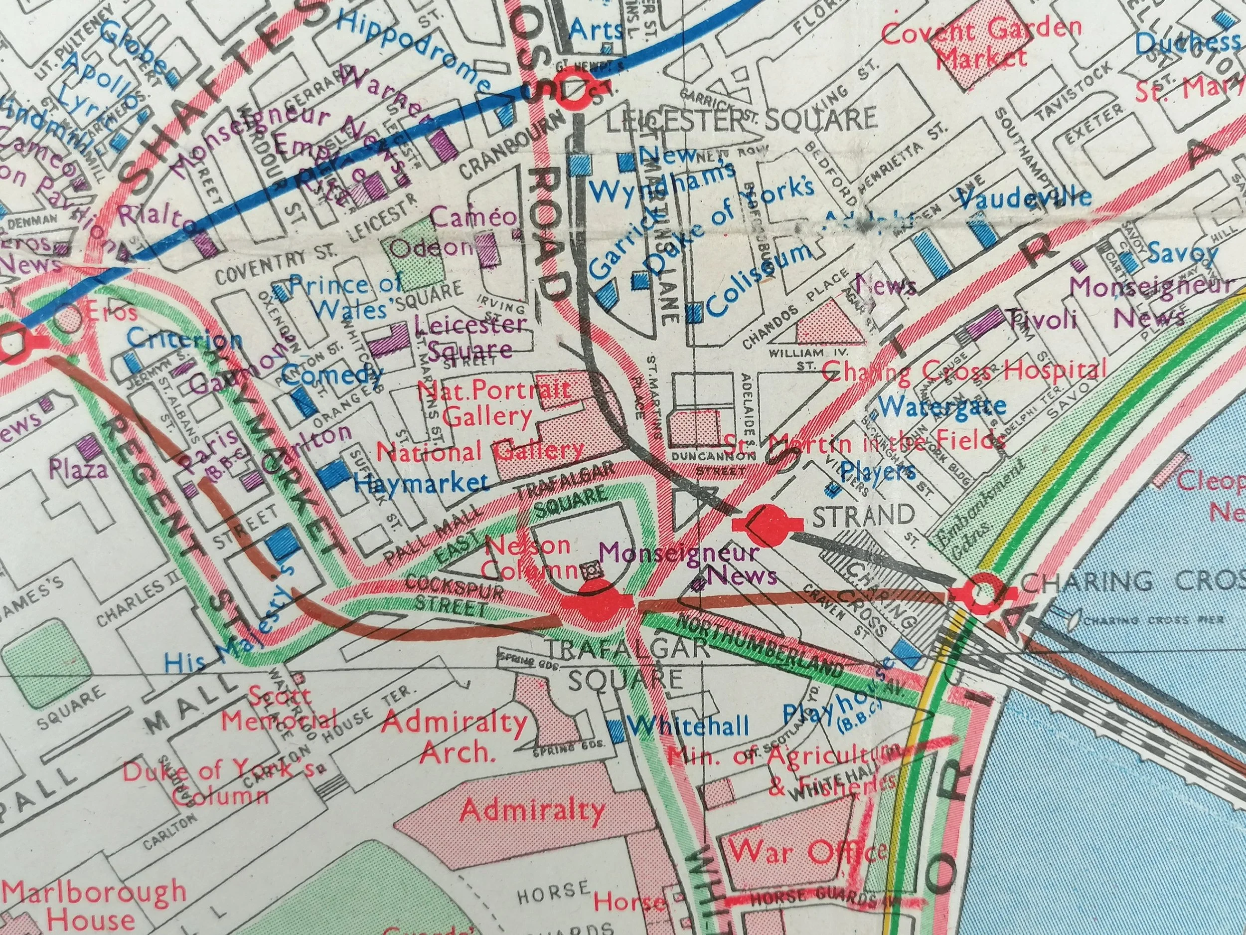 Image 7 of 15
 Image 8 of 15
 Image 9 of 15
 Image 10 of 15
 Image 11 of 15
 Image 12 of 15
 Image 13 of 15
 Image 14 of 15
 Image 15 of 15